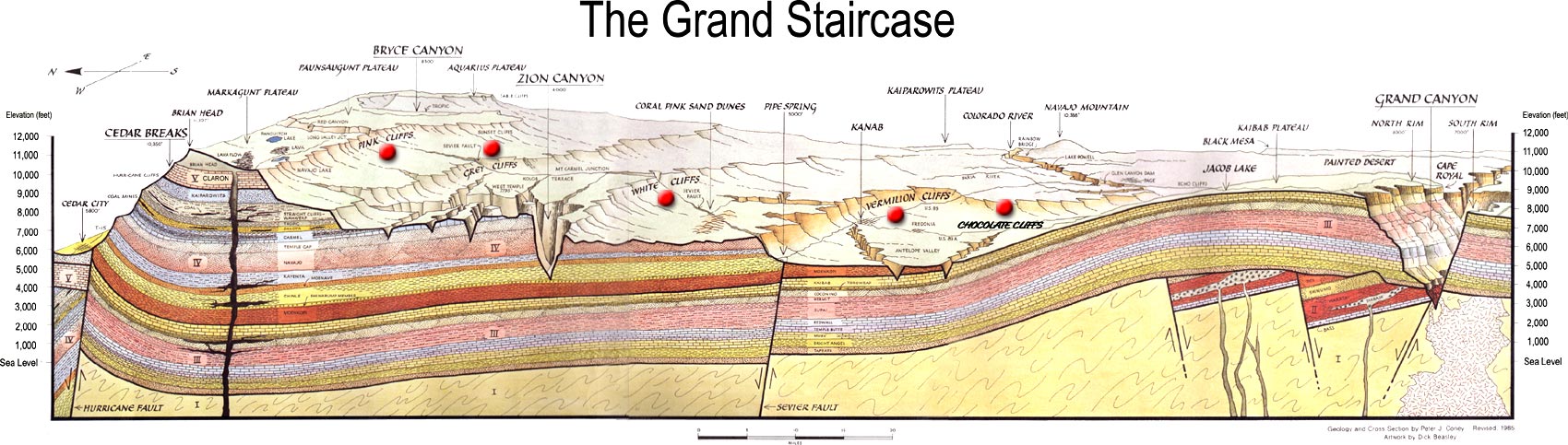
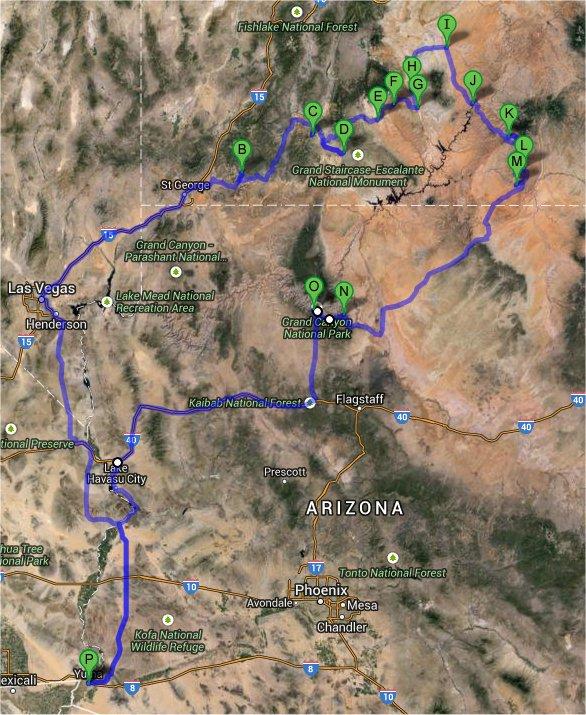
These photo sections cover a bunch of trips to the Grand Staircase, which begins
just south of the Grand Canyon, and goes all the way to the top of the Colorado
Plateau. All of these were done in conjunction with flight tests in
Arizona, the first in February 2014. Chris later had two month-long flight tests in Yuma, the first
in June 2014
and second in January and February 2015. The bonus on each of
these trips was that there was a long weekend during each of
these month long periods, so he had a chance to drive to Utah and visit
some parks on the Grand
Staircase. Sedona, Zion, Bryce, Escalante, Grand Canyon ... where to
go for each of these long weekends? Chris also visited Sedona again in May
2015, this time with Tami. Chris repeated a lot of the February 2015 trip
again in August 2016, but hiked all new routes and went to different places in
each park.
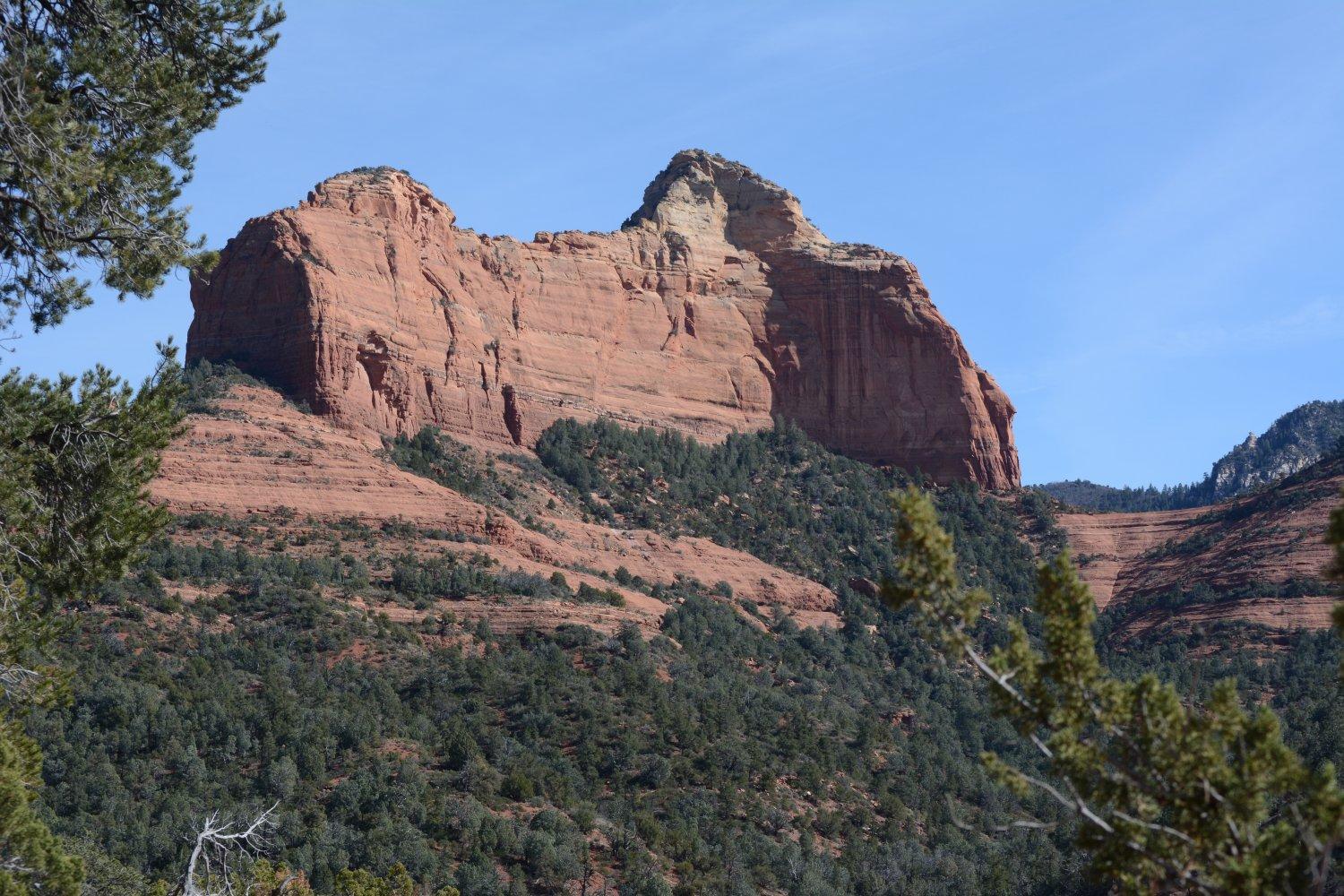
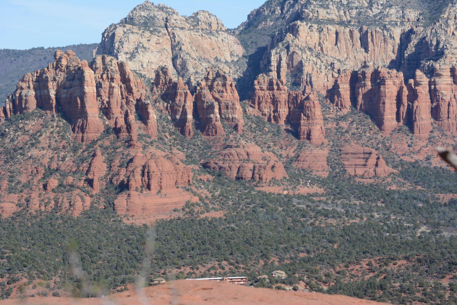
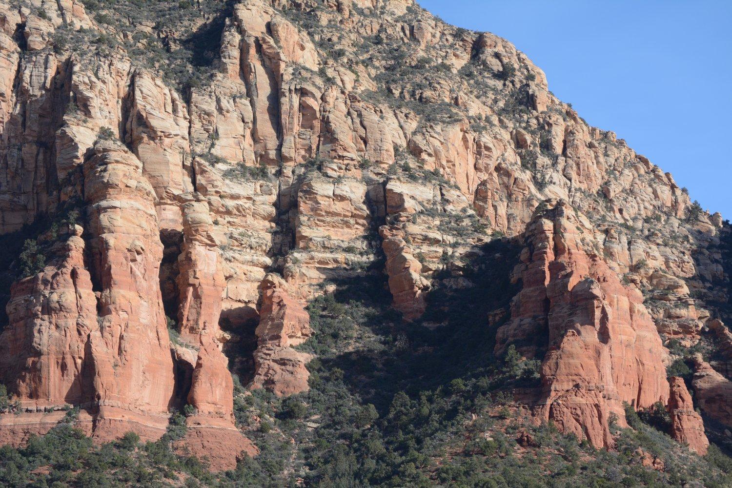
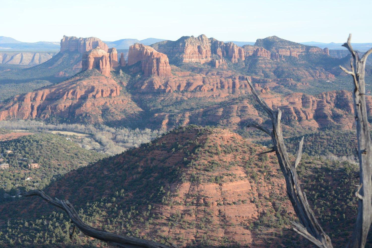
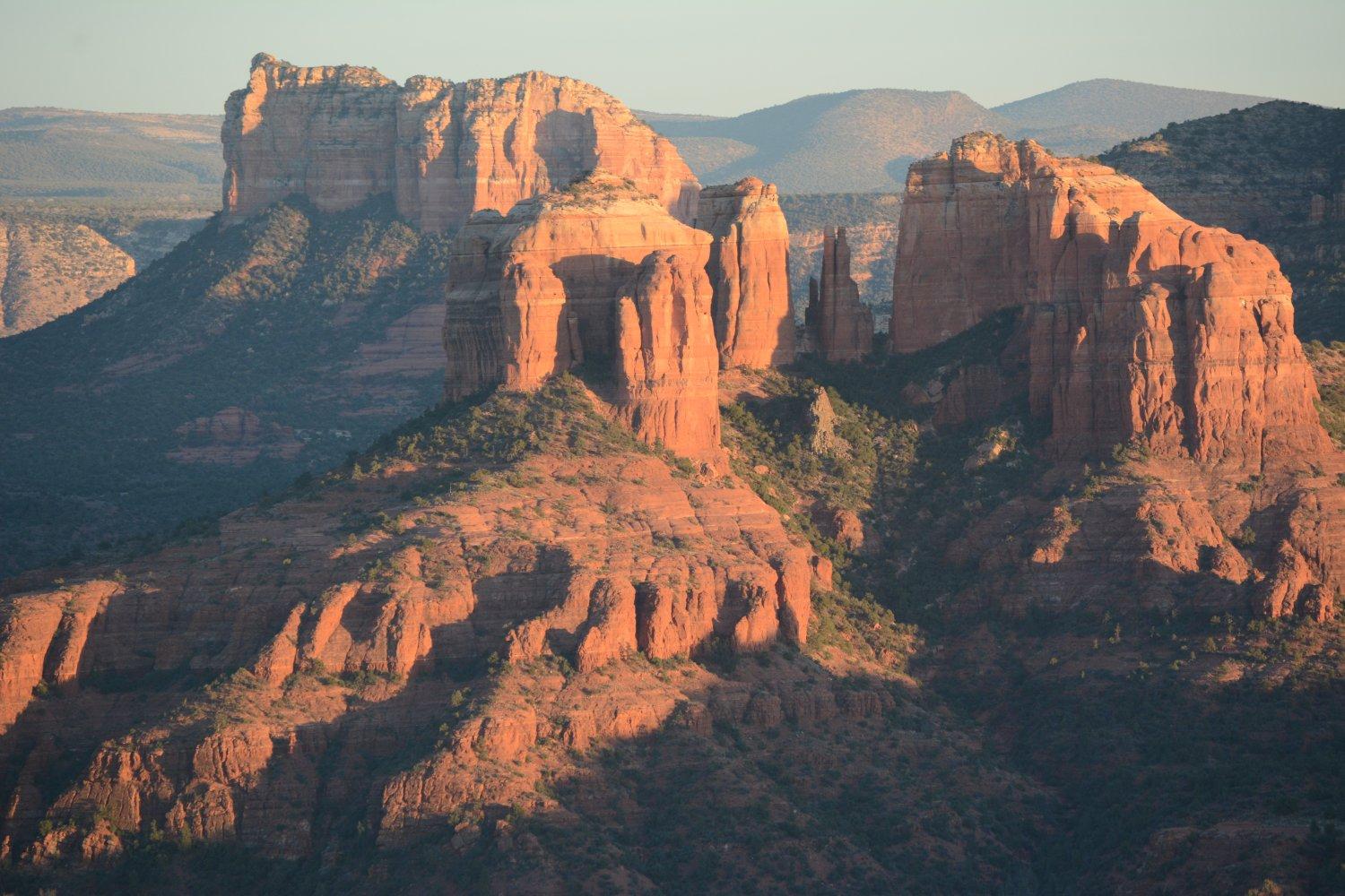
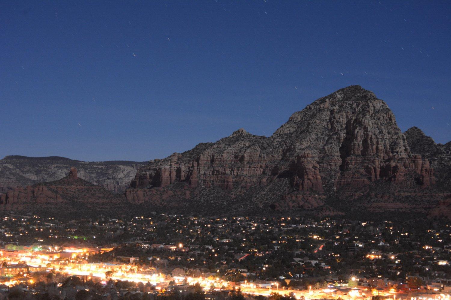
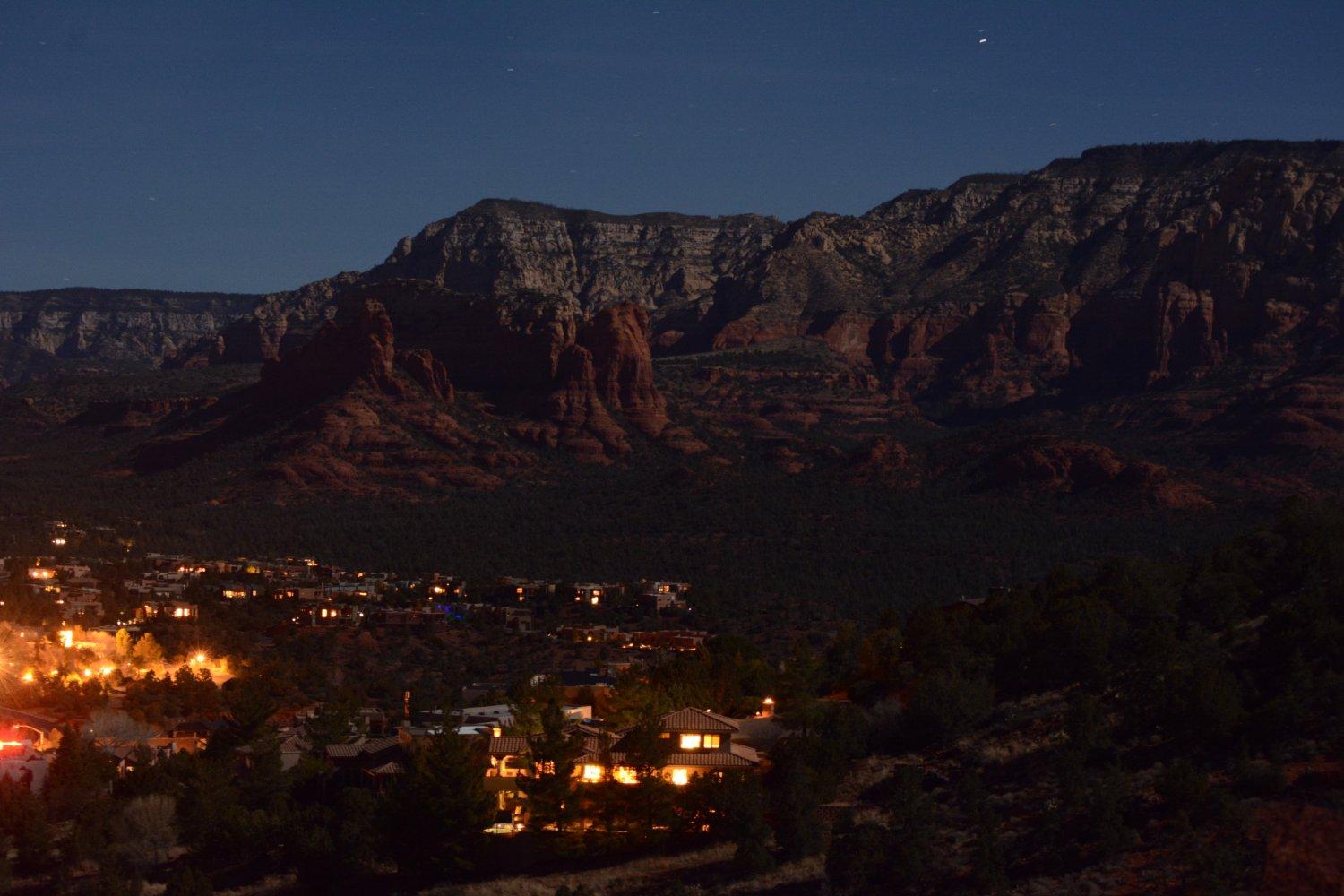
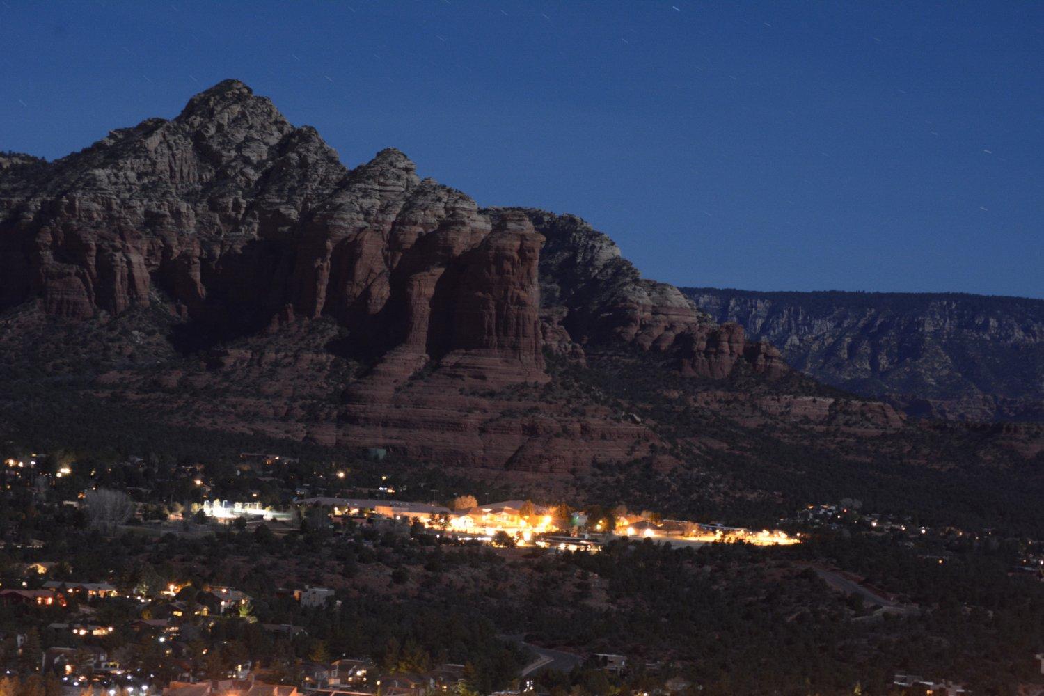
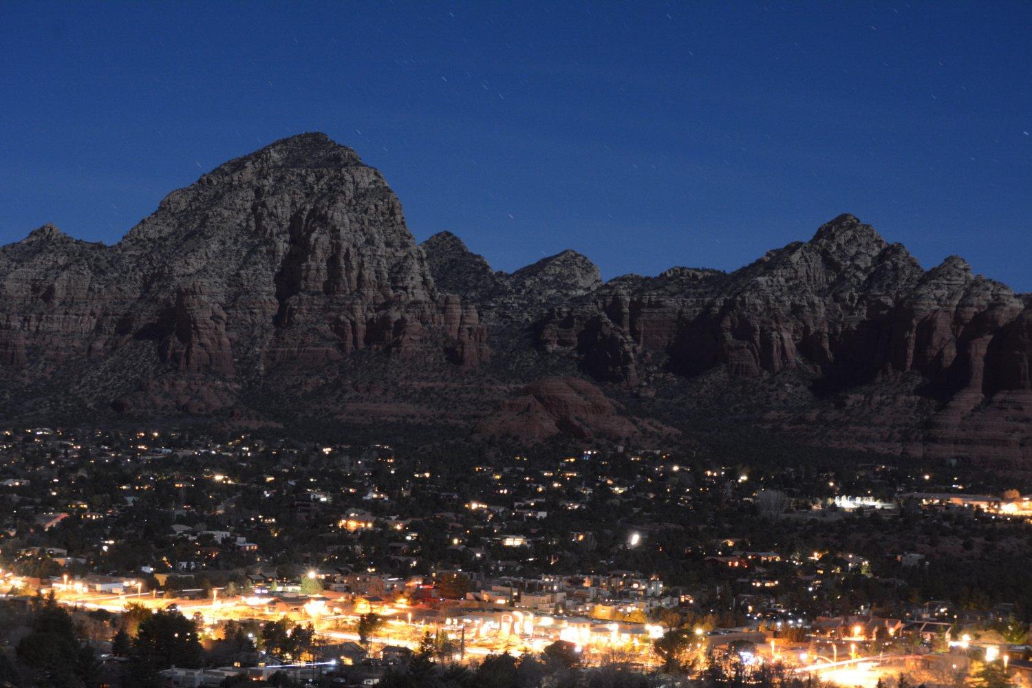
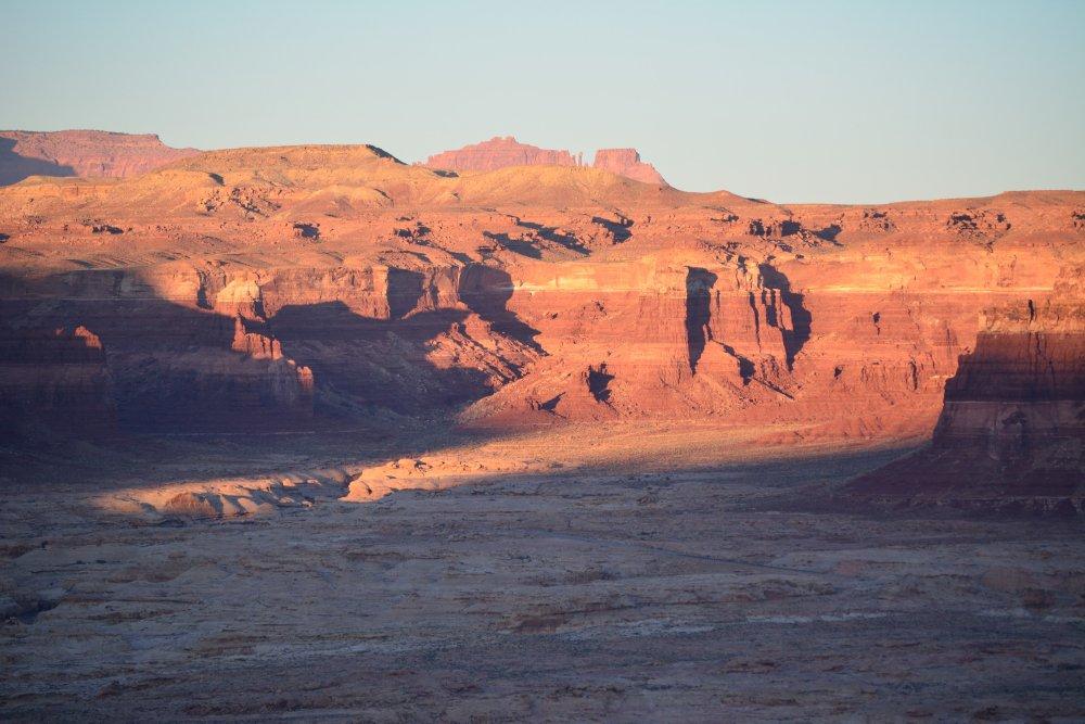
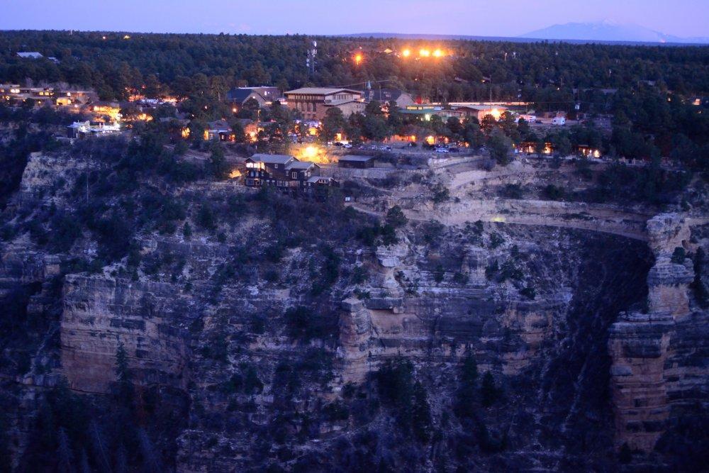
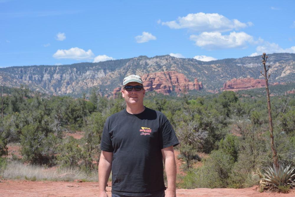
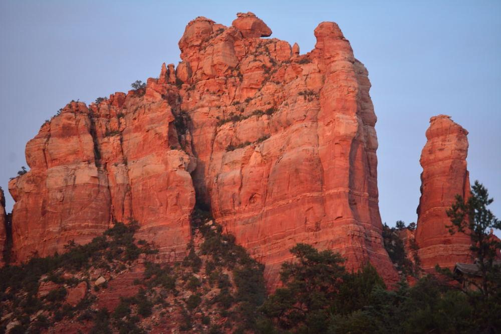
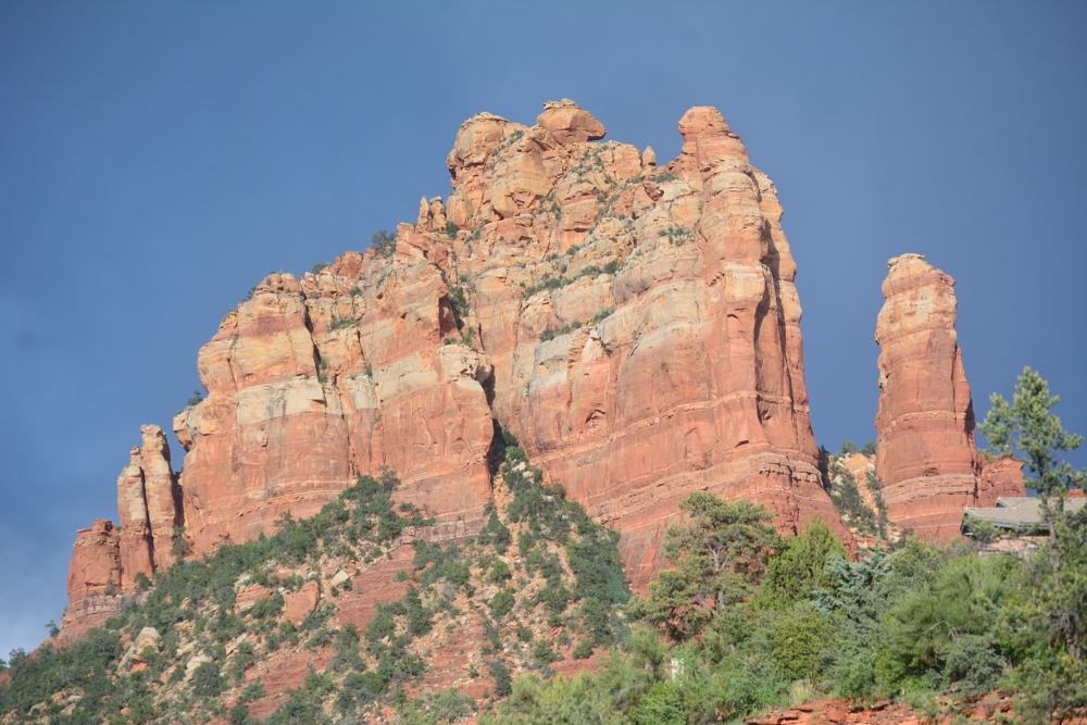
After
completing a flight test in February in Yuma, I drove back to Phoenix for
my flight home and had the rest of the day off before catching my flight early
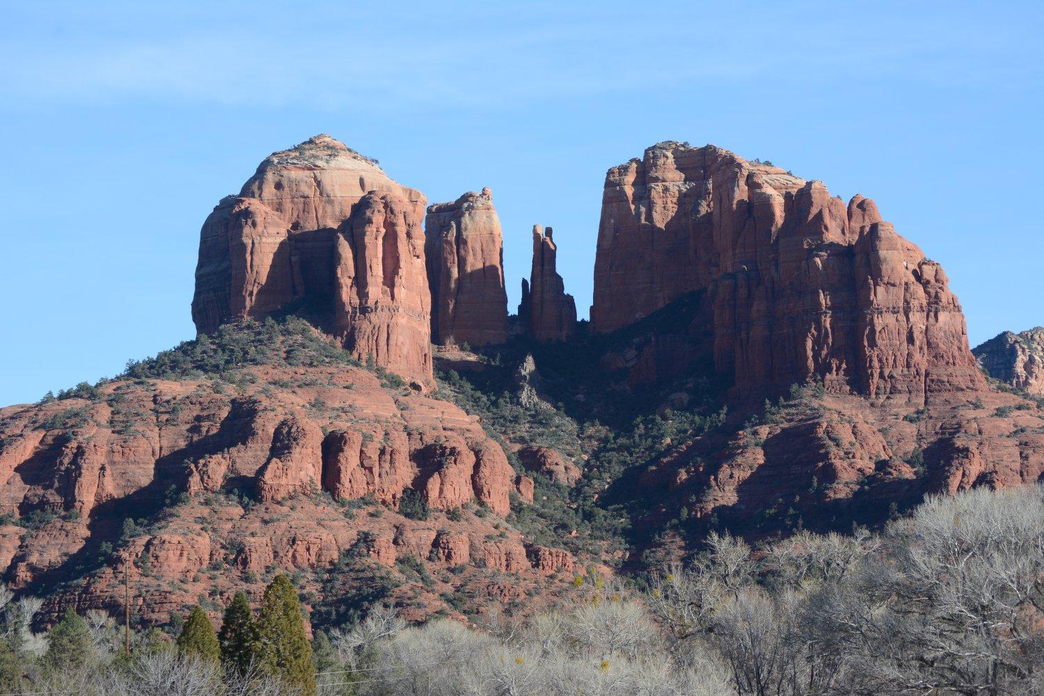
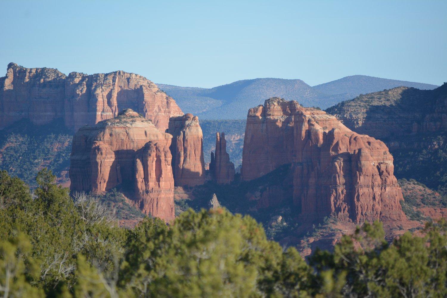
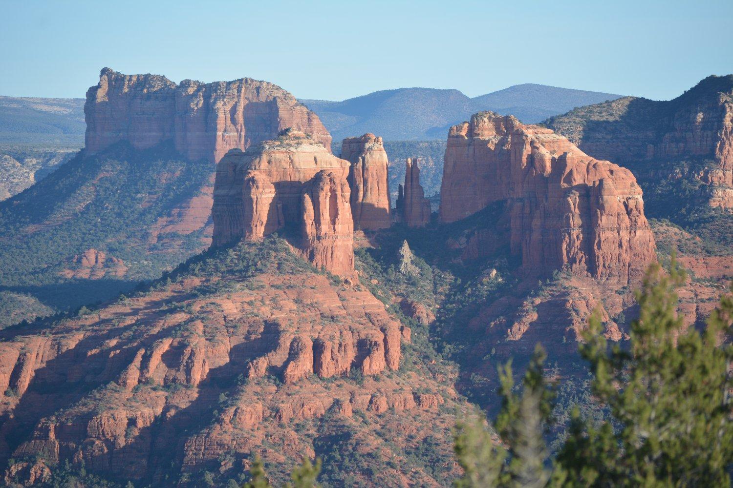
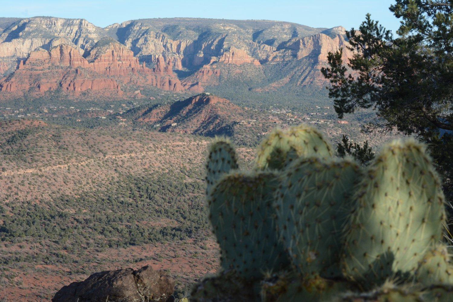
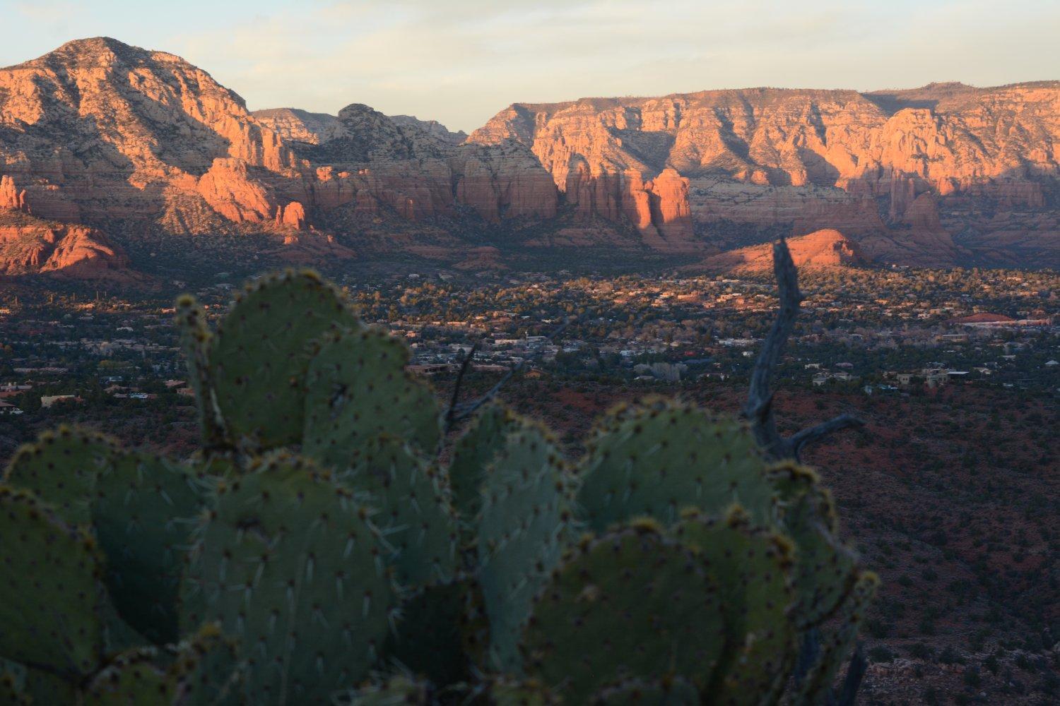
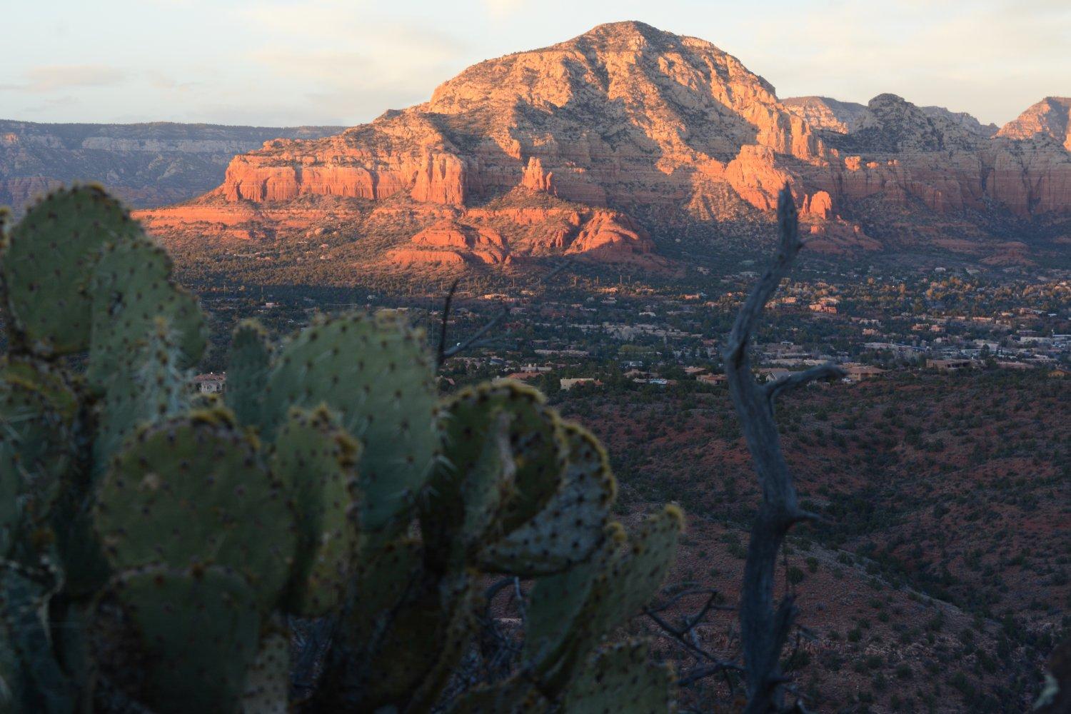
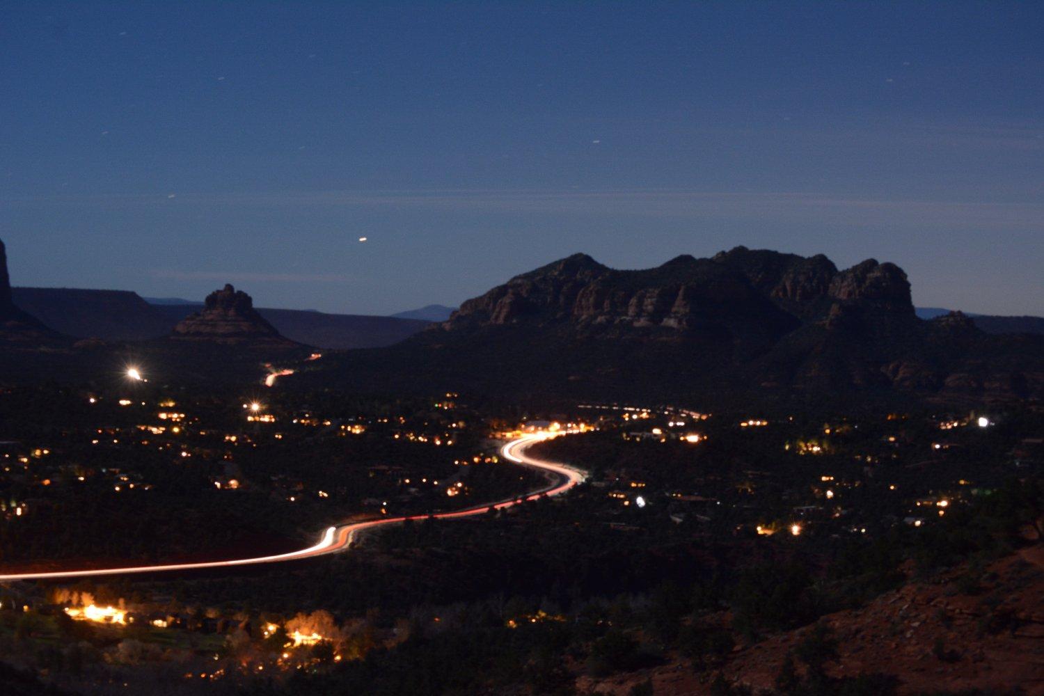
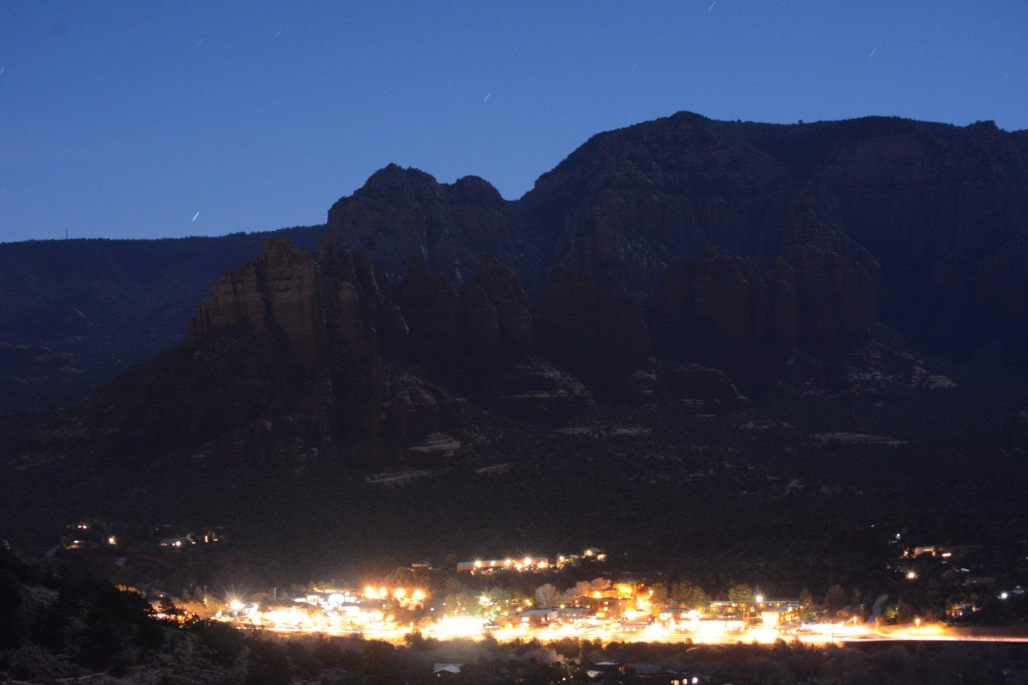
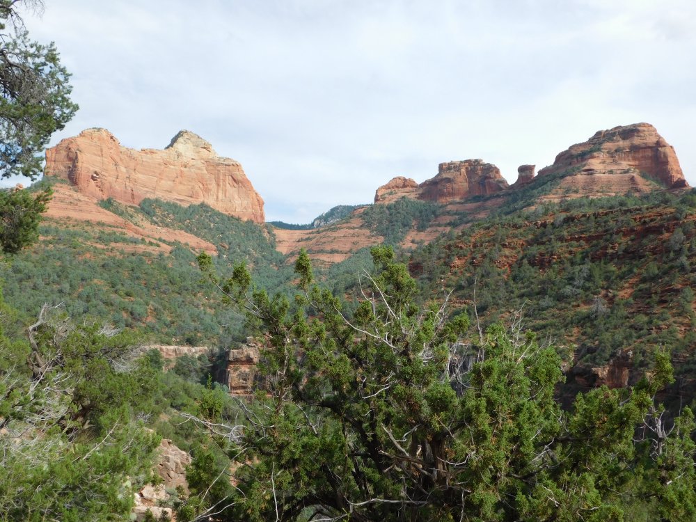
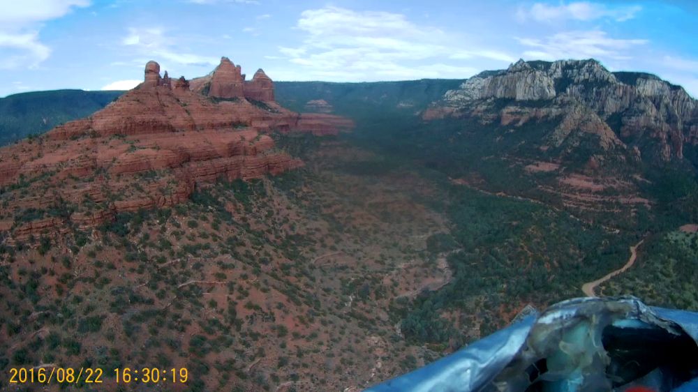
the next morning, so I spent the afternoon and evening in Sedona.These photos are from all over Sedona. The sunset photos were taken from Schuerman Mountain, and the night time exposures were taken from the
saddle viewpoint halfway up to the airport.
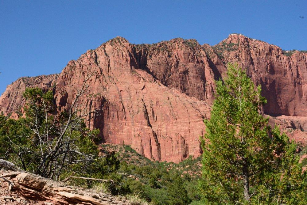
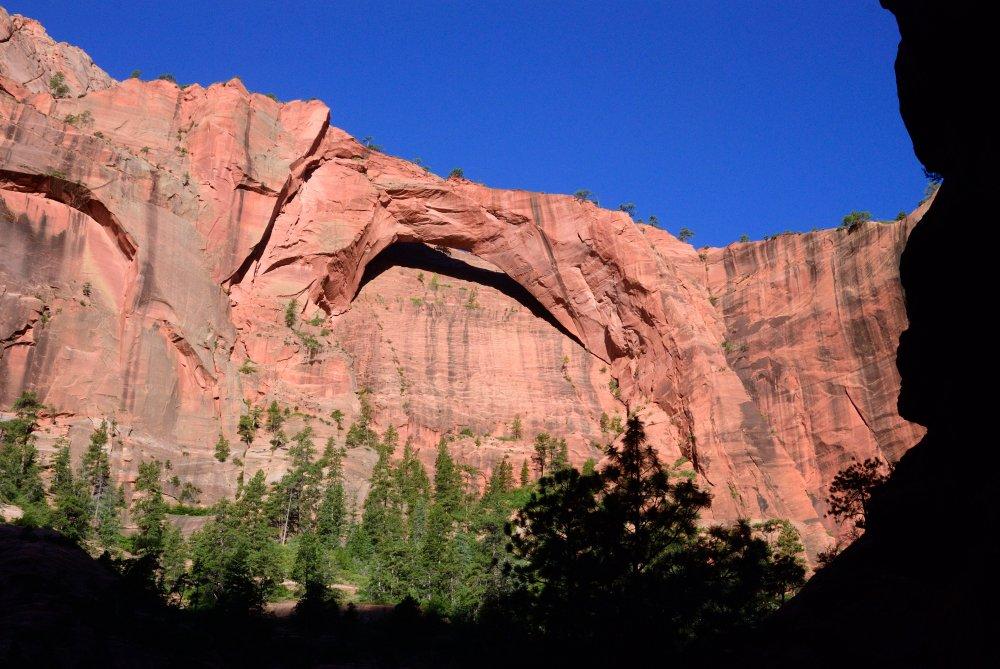
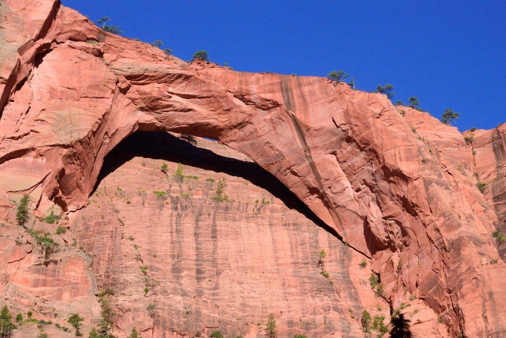
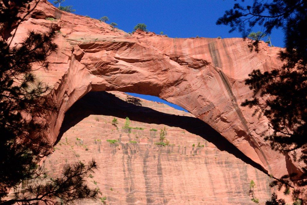
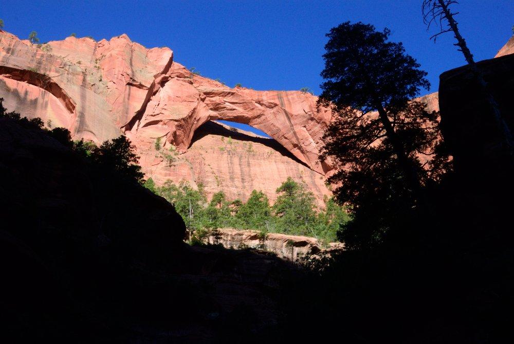
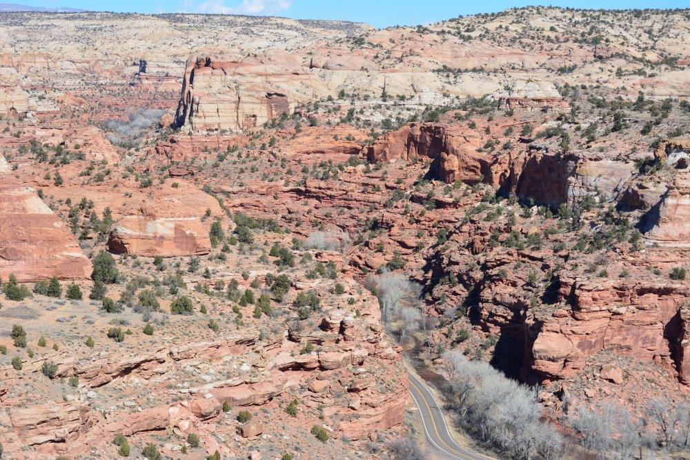
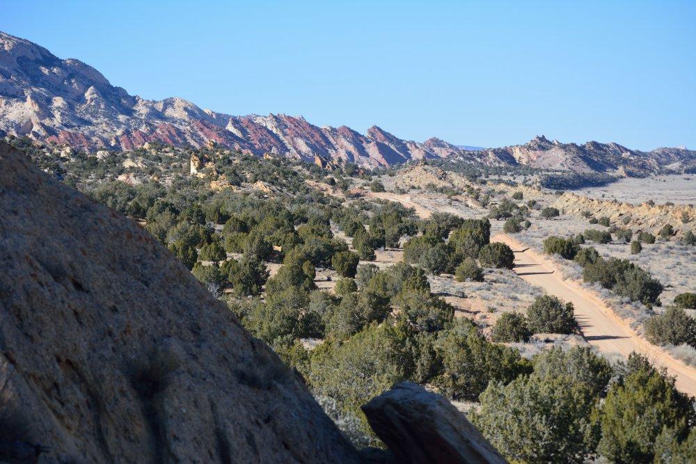
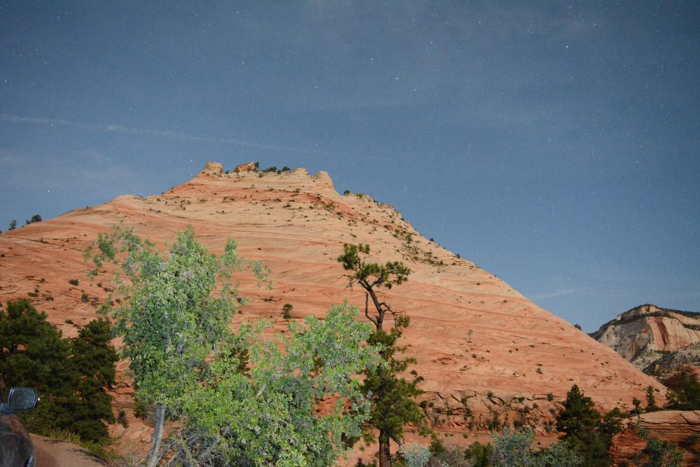
June
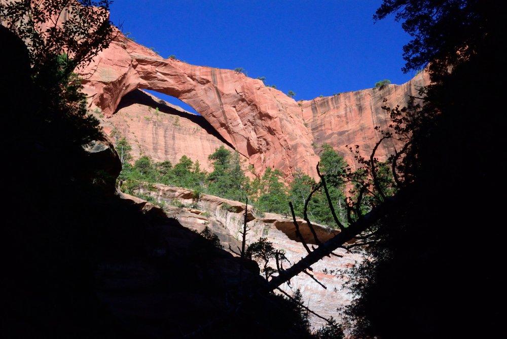
2014 - Zion National Park - Kolob Arch
/ Mt Carmel Road / Zion Canyon & Cedar
Breaks National Monument
In June, I finished work at the
flight-line and drove north after work, heading for Zion National Park.
I stopped for a few hours in Las Vegas that evening, and then
made it as far as a hotel in Mesquite, Nevada, which is about an hour
and half from Zion. I woke up and immediately drove to the
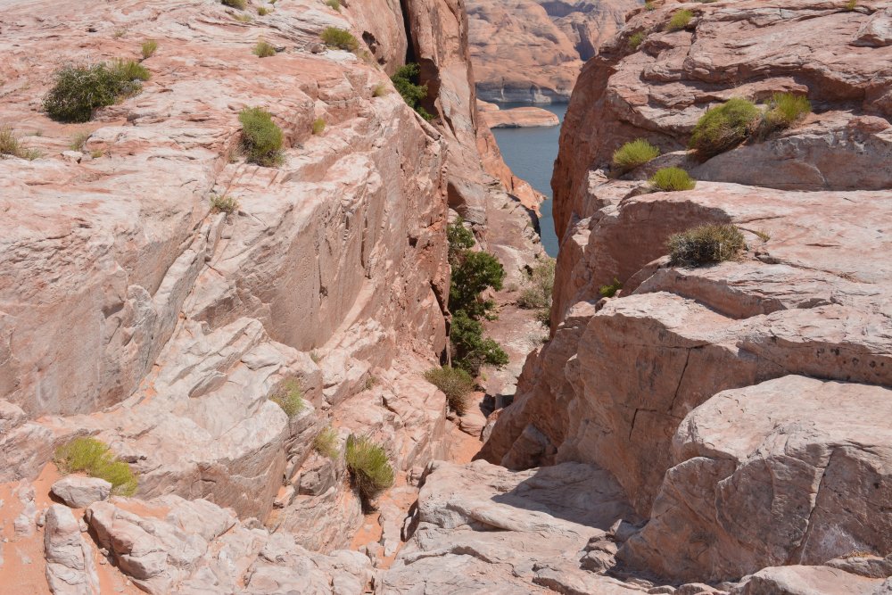
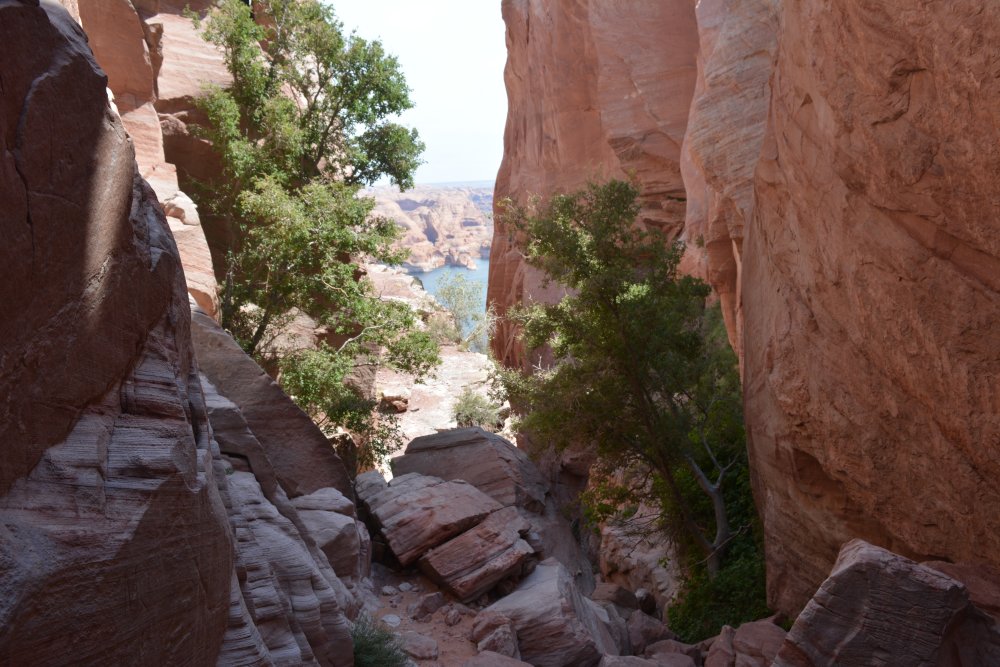
Kolob
Canyons visitor center (B), with the intention to hike to Kolob
Arch.
Kolob Canyons is to the west and separated from the main
section
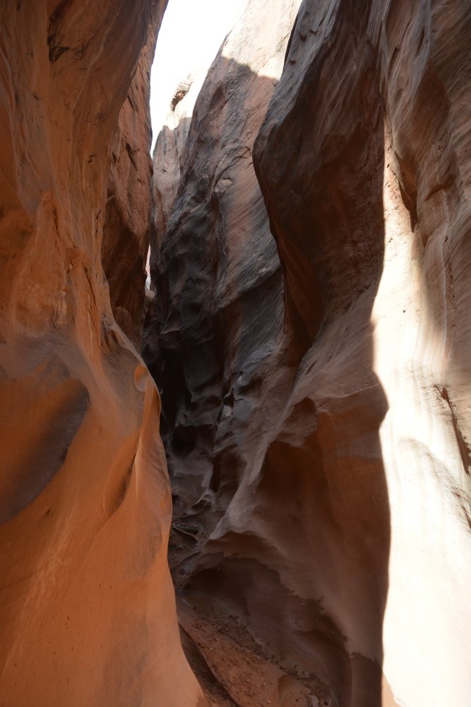
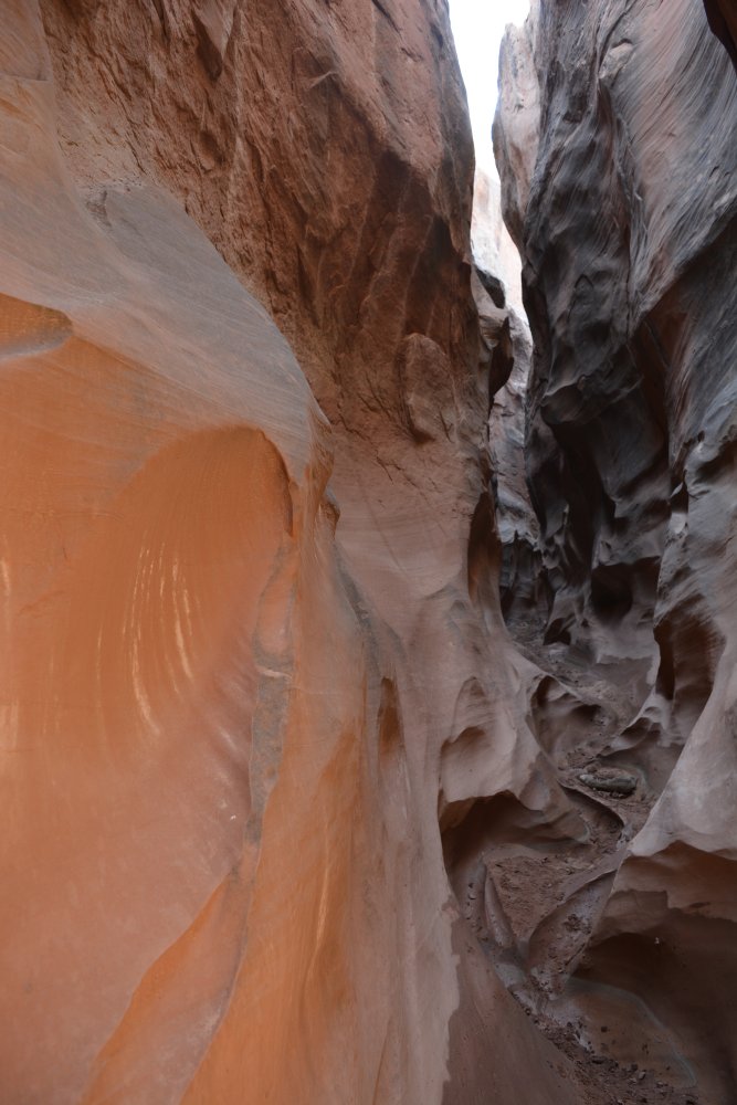
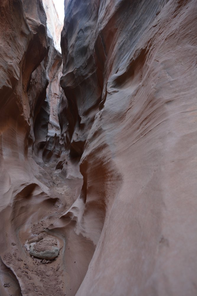
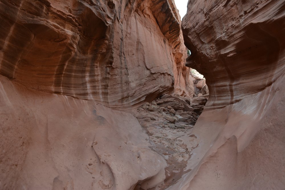
of Zion National Park. The hike out to Kolob Arch is 7 miles
one-way, and while the 14 mile round-trip hike can be done in one day,
I wanted to break it up into two days. There are a bunch of
campsites along the trail, next to La Verkin Creek. I made reservations
for one of them, and then drove north 30 minutes to Cedar City (C) to buy
some food for the overnight trip. I returned to Kolob Canyons
(D) and
hiked 5.5 miles to my campsite that evening. I set up my
tent,
had dinner, and spent sunset walking along and through La Verkin Creek
in my flip-flops to cool off.
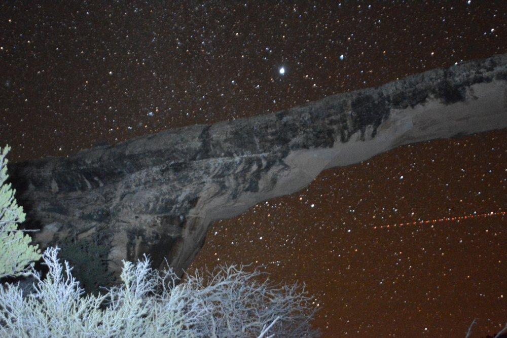
The
next morning, I pulled out my day-pack from my main pack, left the
campsite set up, and hiked the last 1.5 miles to Kolob Arch.
I
spent a couple hours exploring and taking photos from different angles,
and then returned the 1.5 miles back to my campsite. After
putting my tent away and eating a quick snack, I hiked 5.5
miles
back to my rental car. I arrived back to my car just after
noon.
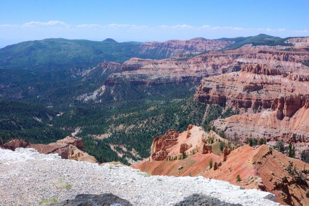
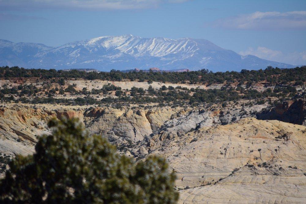
I drove north to Cedar City, had lunch, and then
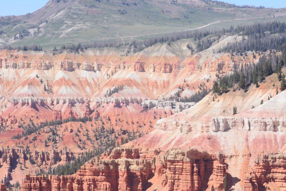
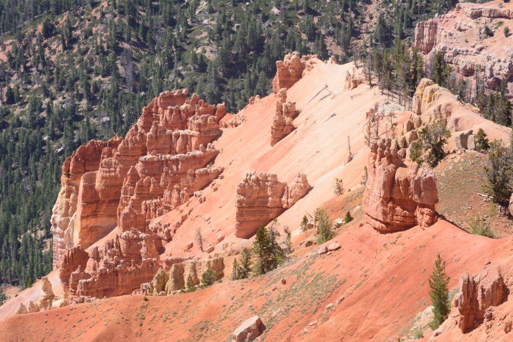
drove up into the mountains above Cedar City to Cedar Breaks
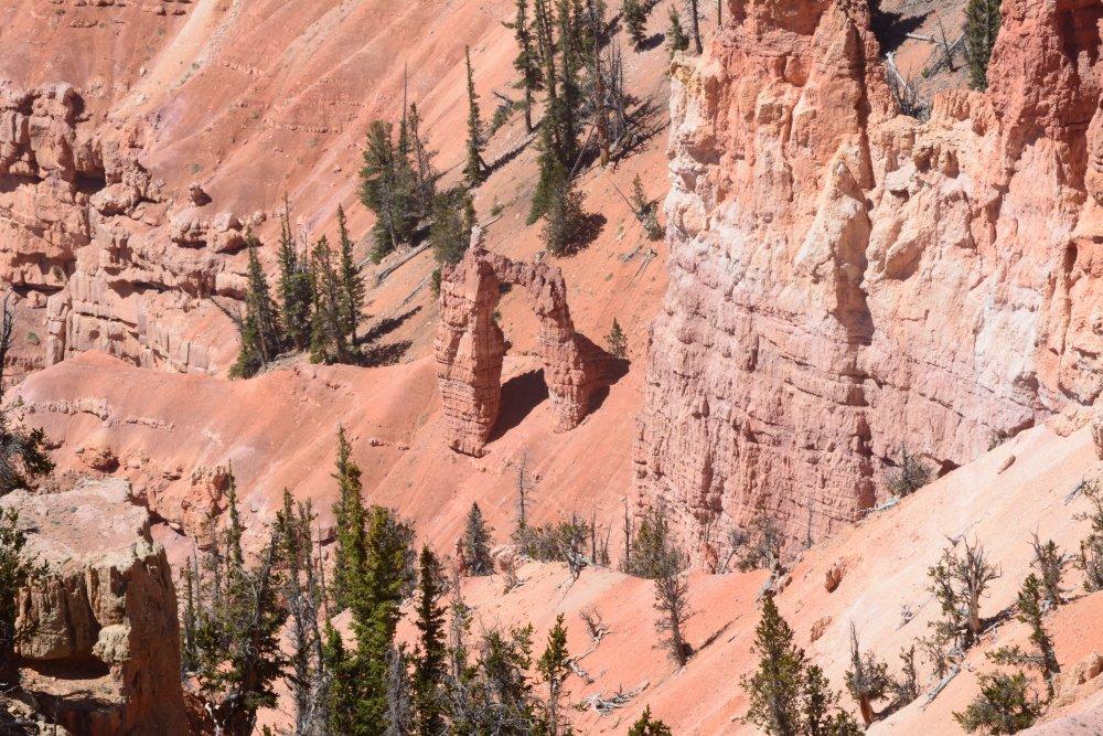
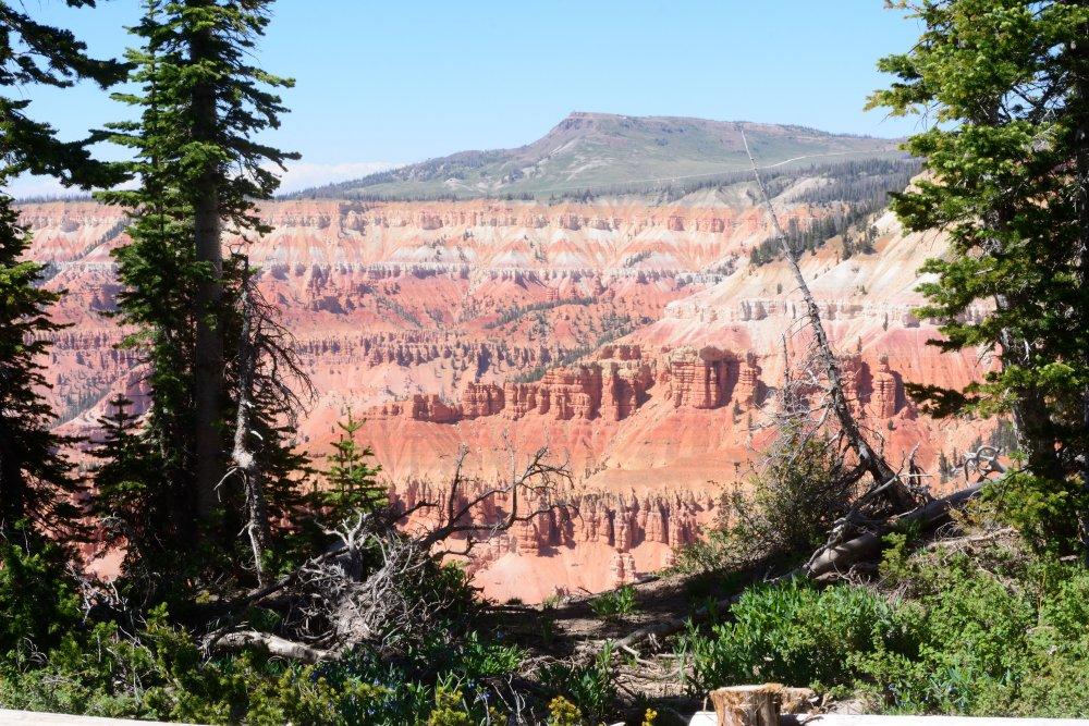
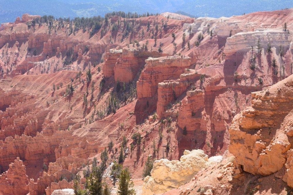
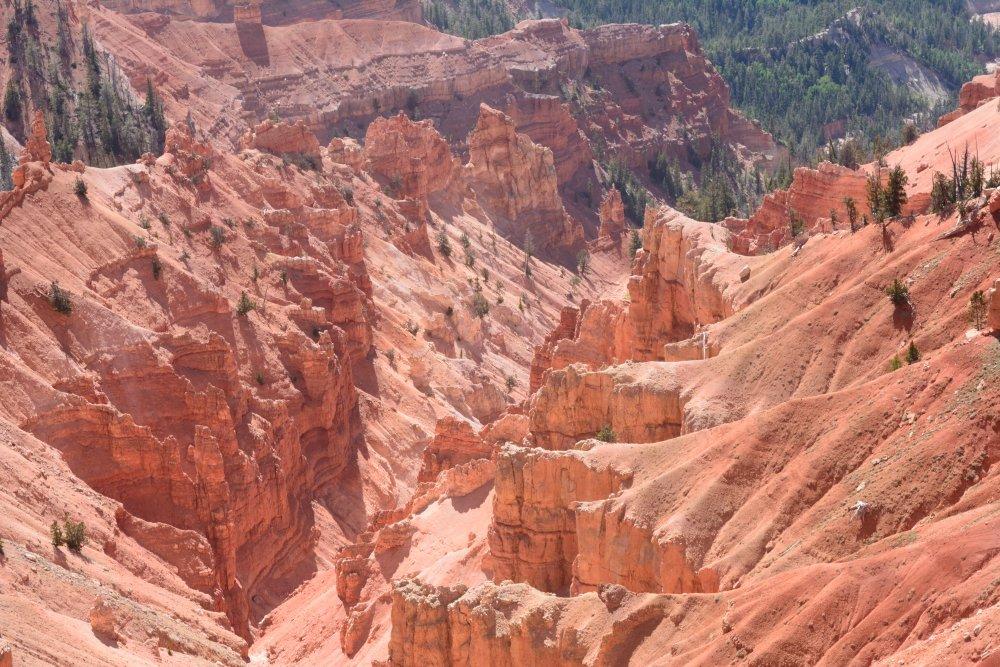
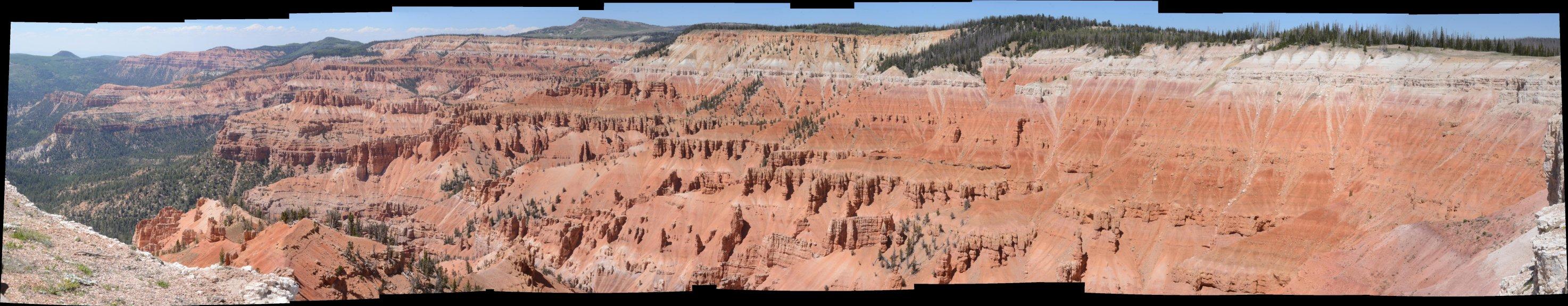
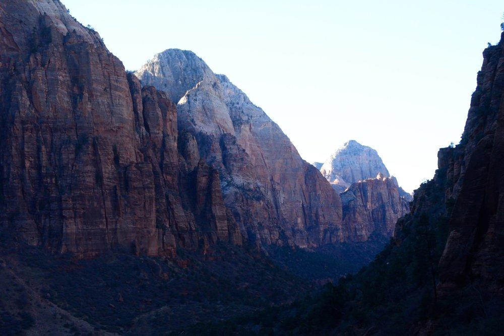
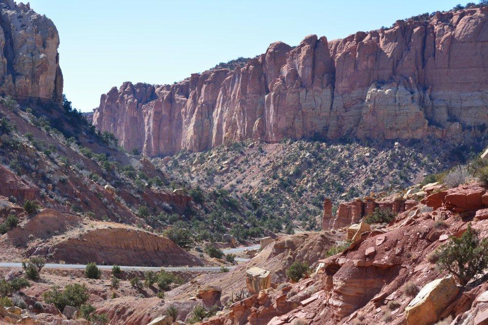
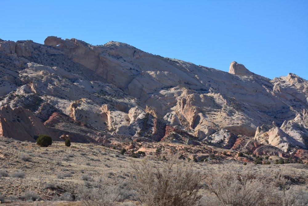
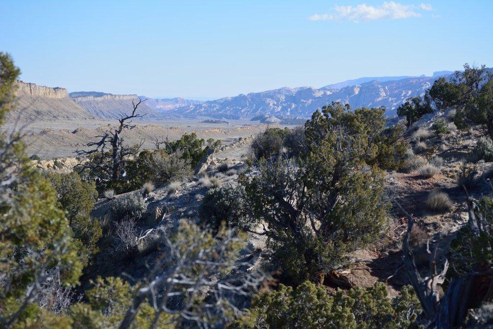
National Monument (E). Cedar Breaks is at the very top of the Grand
Staircase, up at 10,000 feet. It can best be described as small
version of Bryce Canyon, but it has much more vertical relief in
relation to its total area.
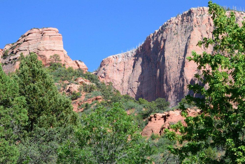
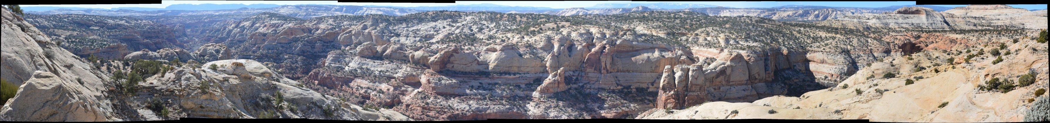
Cedar Breaks National Monument - main overlook
After spending some time at several viewpoints, I
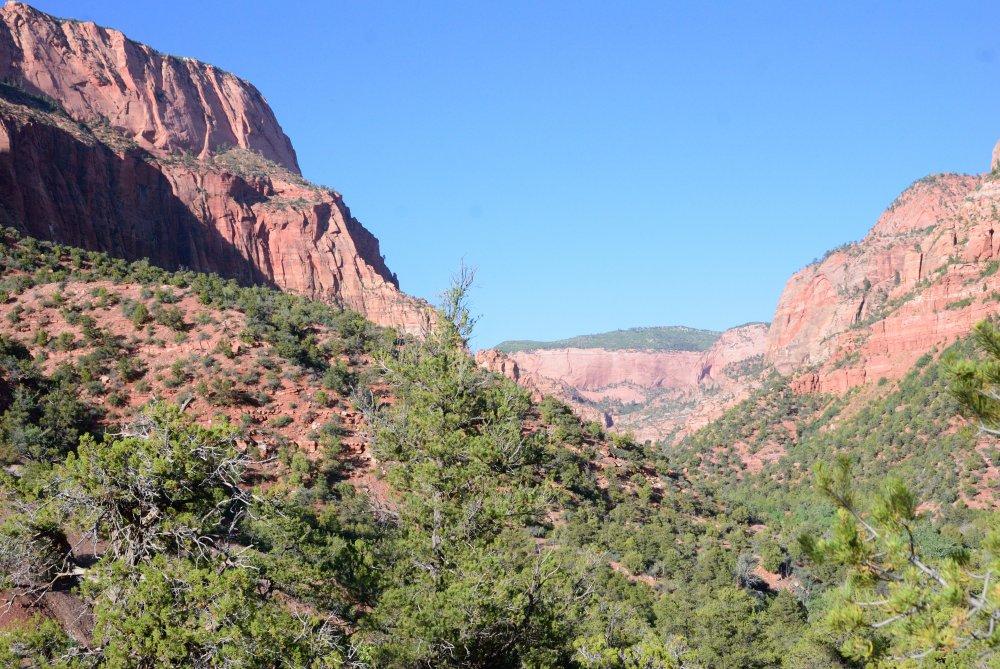
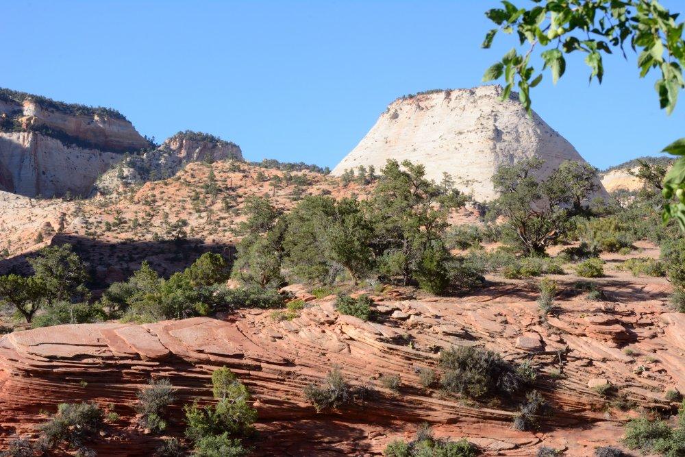
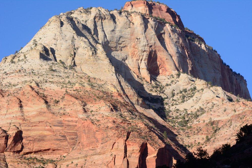
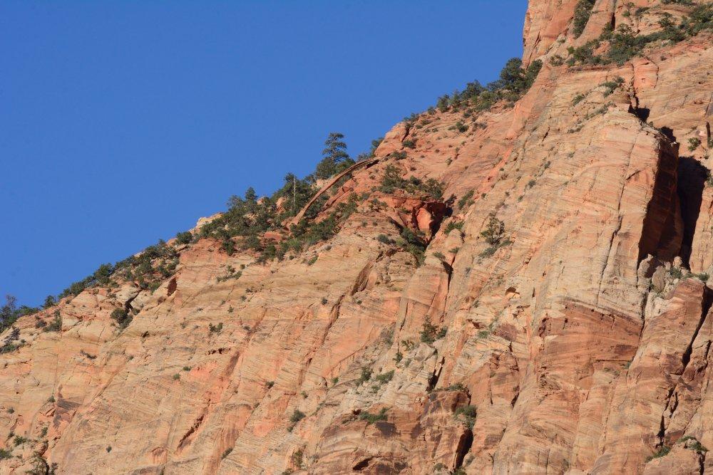
headed east and down off the top of the plateau, then south to Mt Carmel
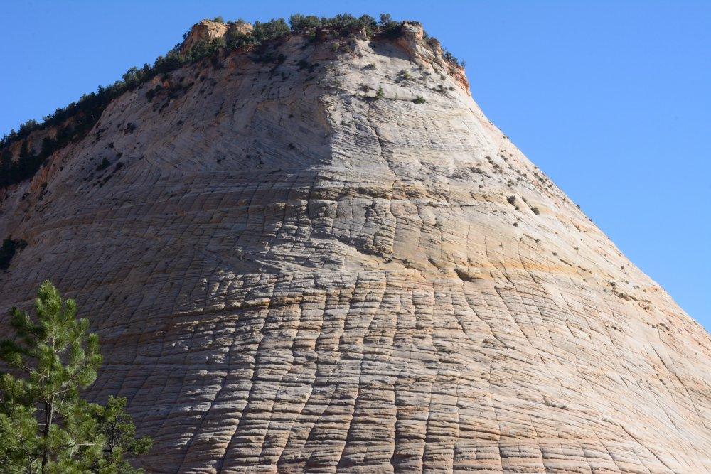
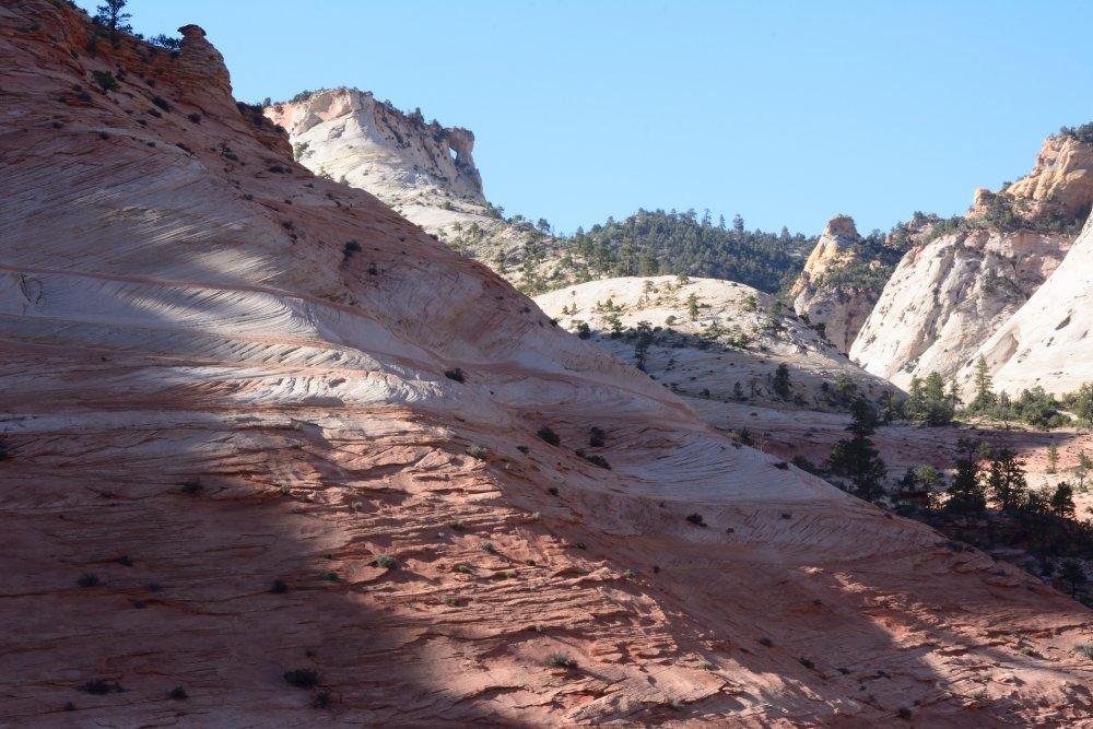
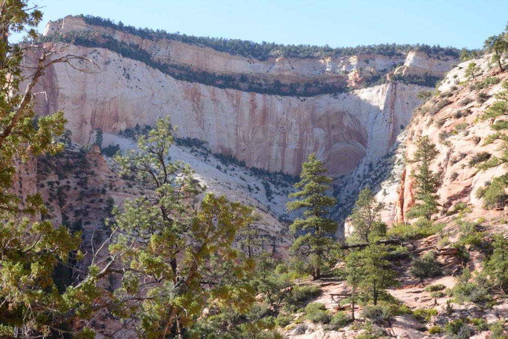
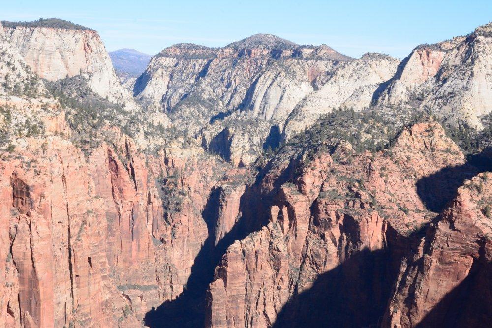
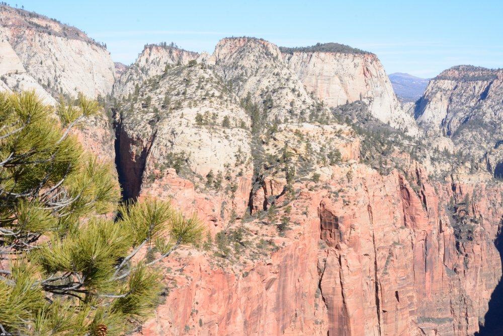
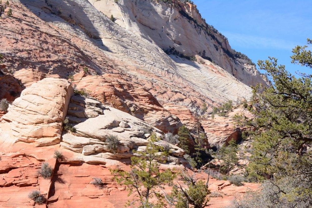
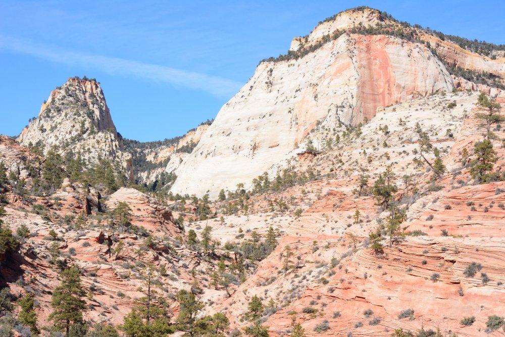
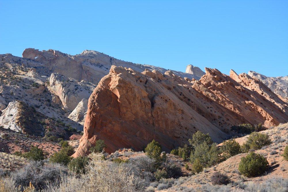
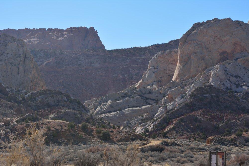
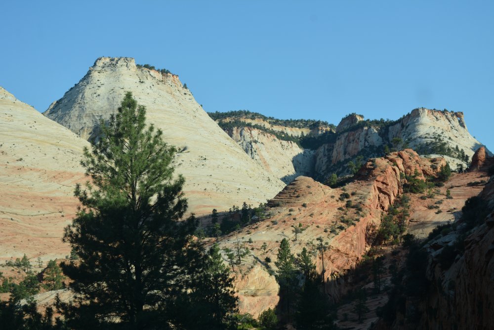
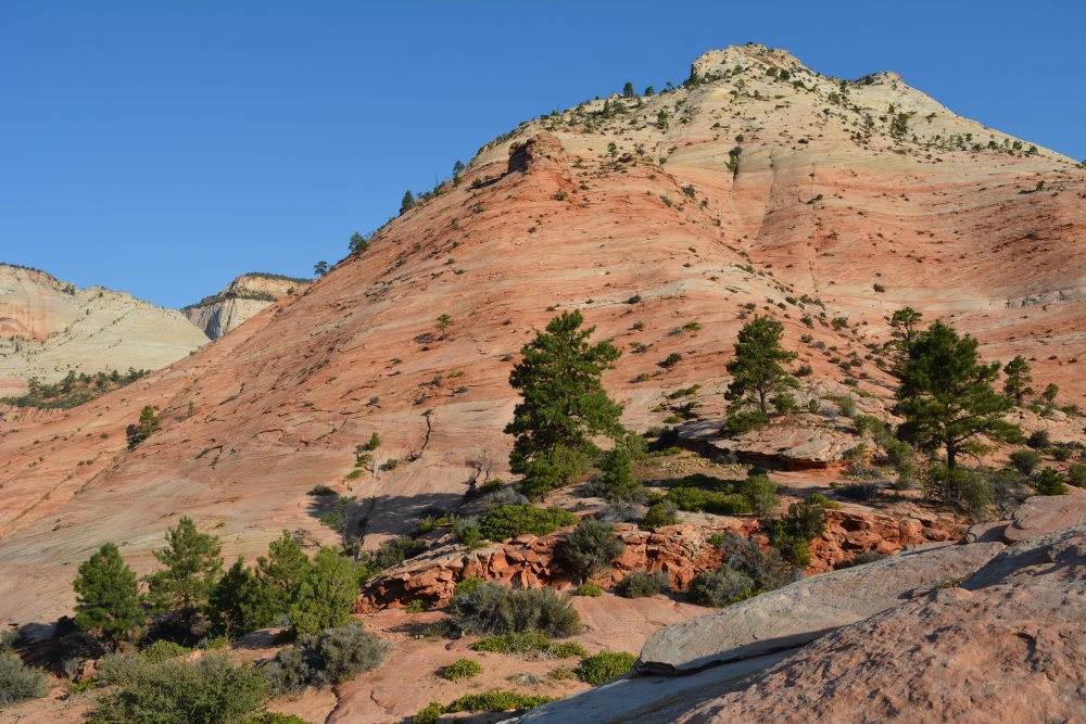
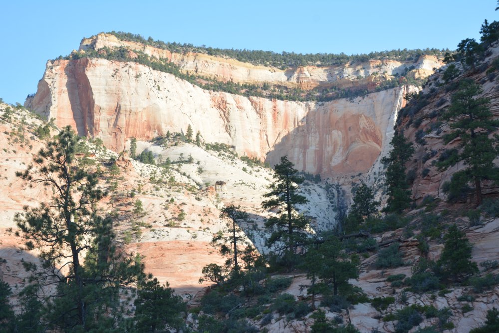
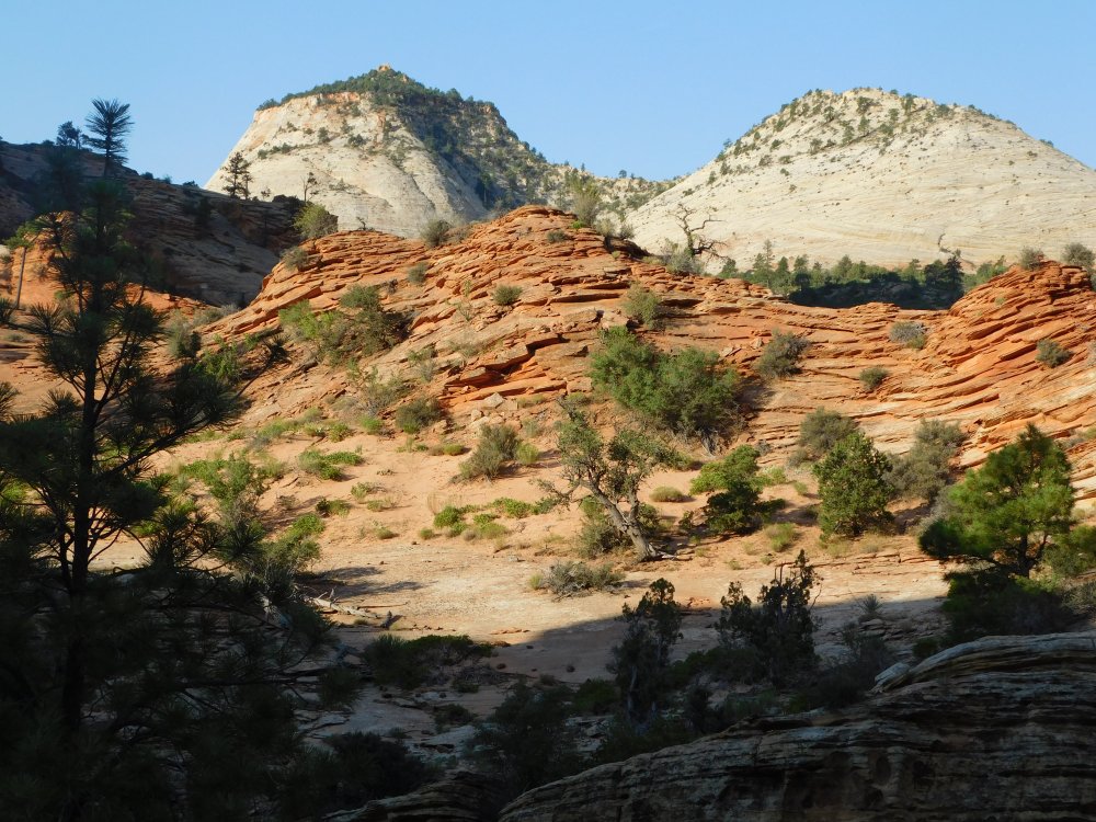
Junction (F), and finally back west into the main section of Zion
National Park along the Mt Carmel road. The views are always incredible
in this section of the park, and I took lots of photos, before heading
down into the main canyon through the tunnel.
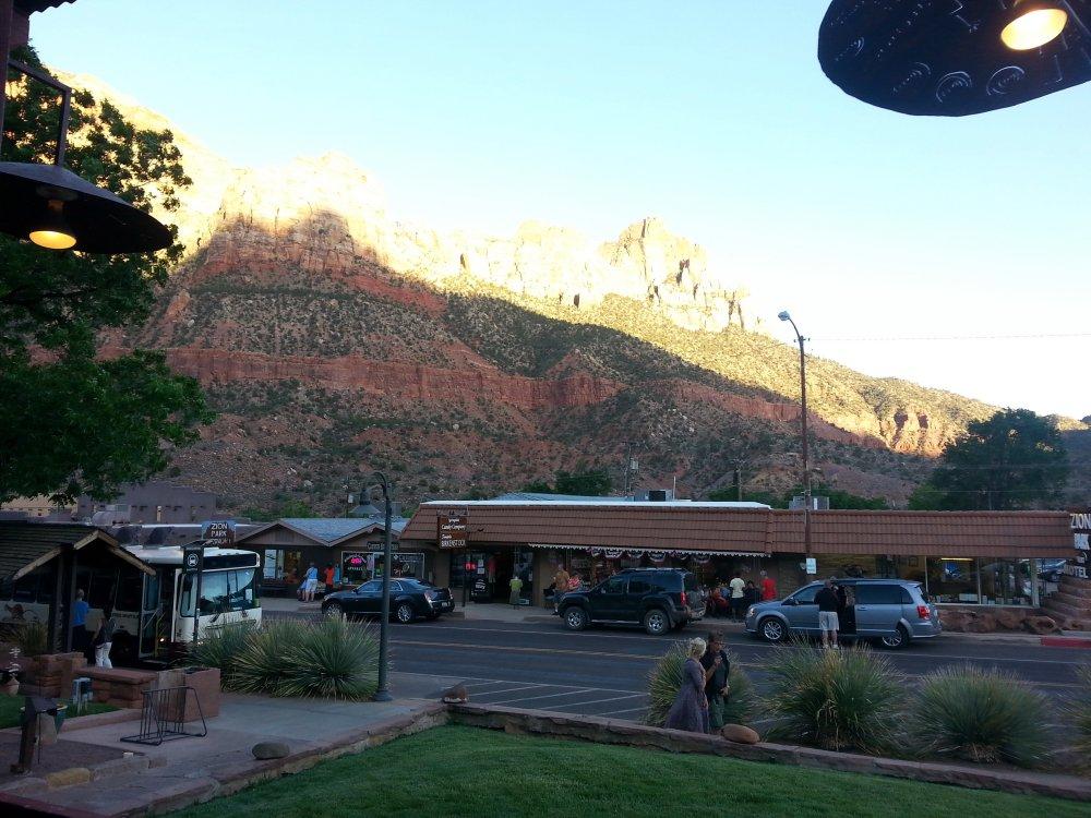
I had dinner in
Springdale (G) right outside the park entrance, at
Pizza & Noodles, a restaurant our family found many years ago and
have always tried to visit whenever we are in Zion.
The view while
eating on the front porch of Pizza & Noodles is almost as good as the
food. I had planned to hike the
West Rim Trail from Lava Point all the way down to the Grotto the
following day, but the overnight hike to Kolob Arch had given me enough
blisters that I cancelled the West Rim hike plans. I spent the night at
a hotel in Hurricane and the next day in Las Vegas instead.
The blisters had done me in, and that was it for the Grand Staircase on
this trip. I thought with a little more planning and a lot of driving,
I could see much more on my next flight test to Yuma. I got my chance in
February 2015, over President's Day weekend, to make a longer driving
trip to a bunch of parks.
February
2015 - lots of parks in southern Utah and
the Grand Canyon
Zion
National Park (B), Saturday, 14 Feb 2015
- night photos in Zion Canyon
- camp in car - Friday night
- Angels Landing hike, GoPro video of climb and descent
- Mt Carmel Road
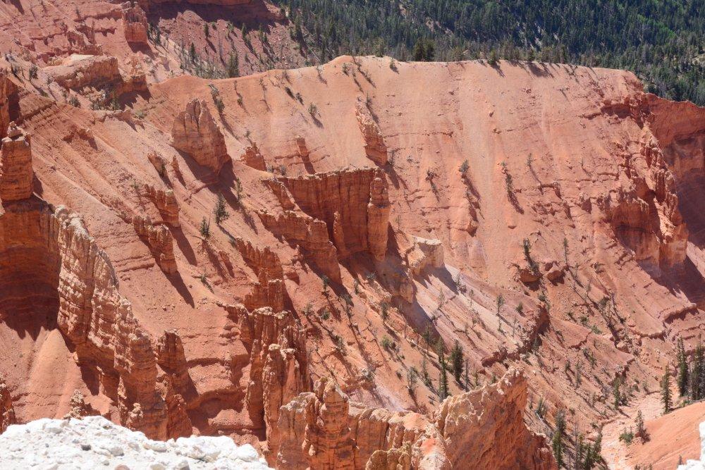
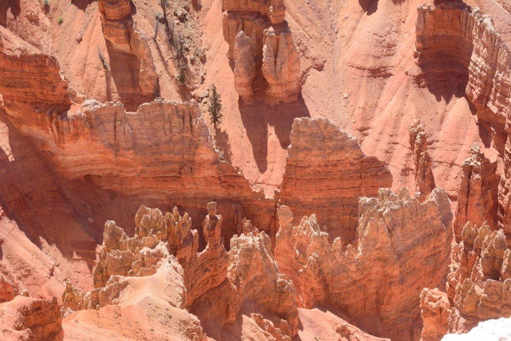
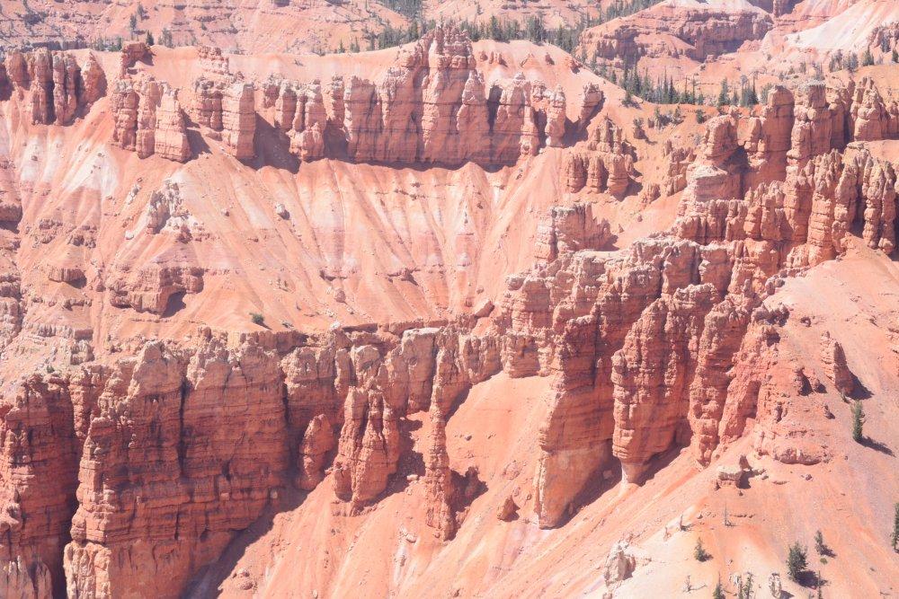
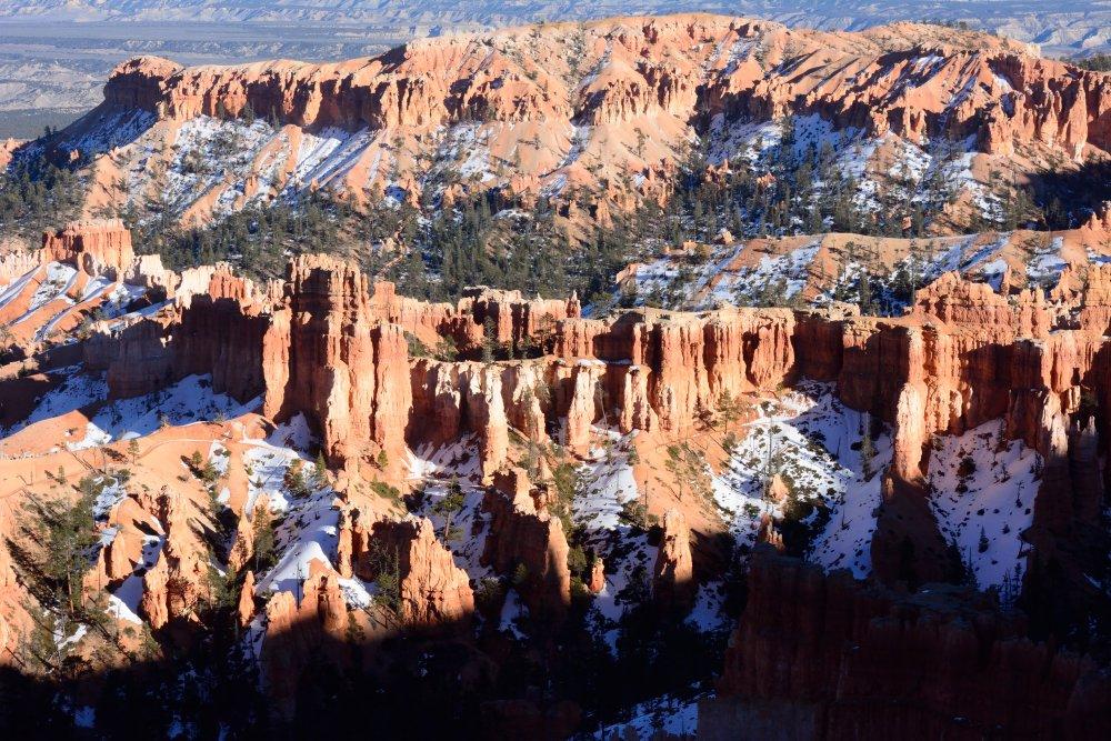
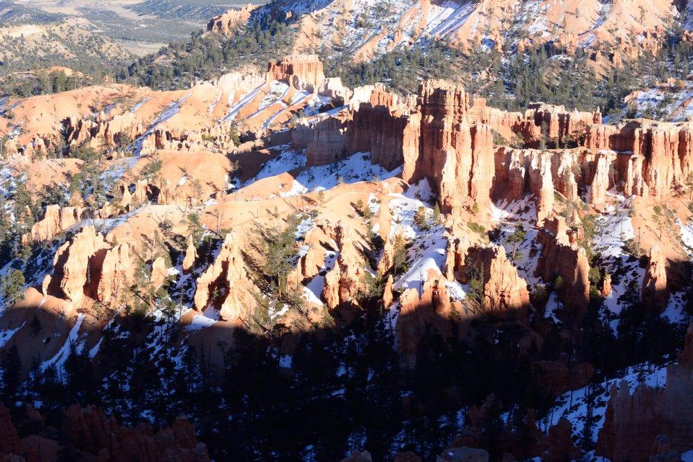
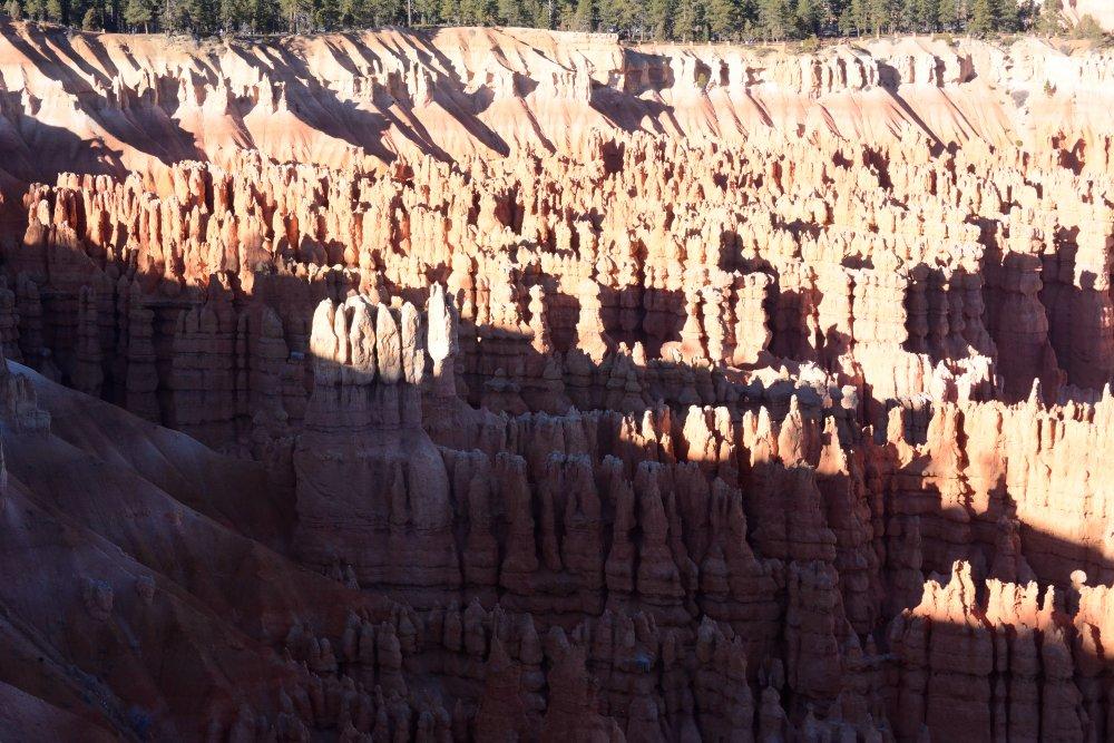
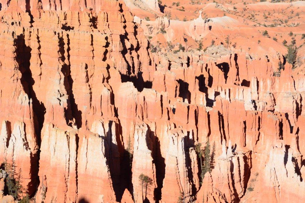
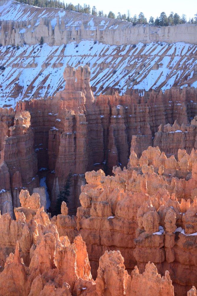
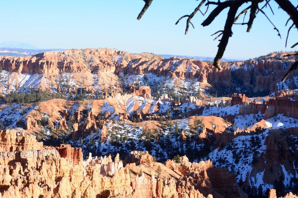
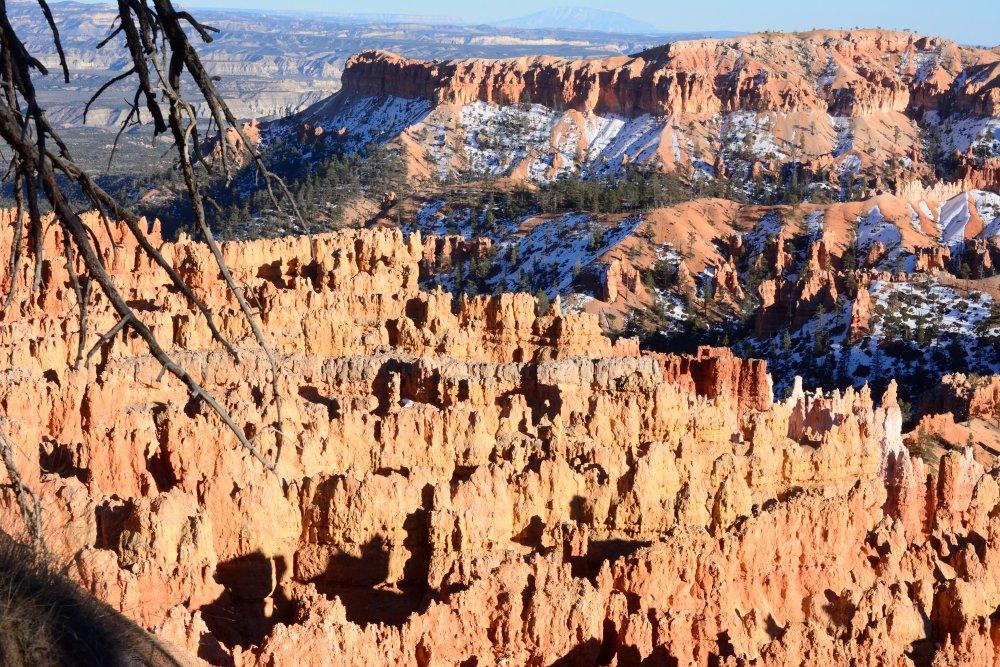
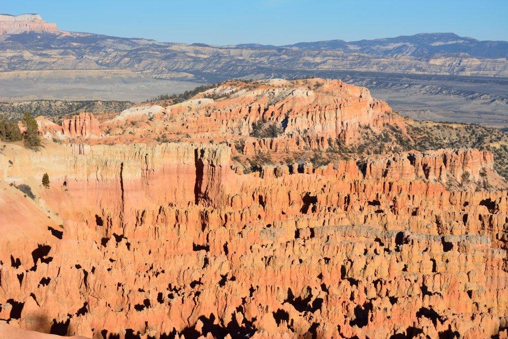
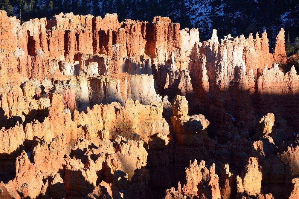
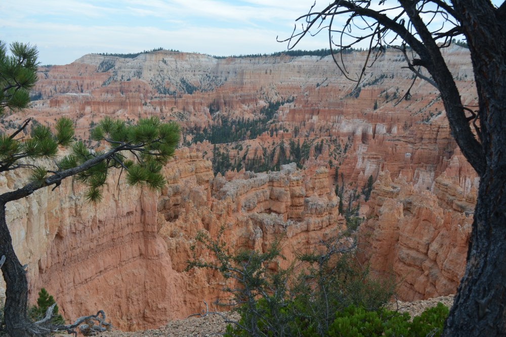
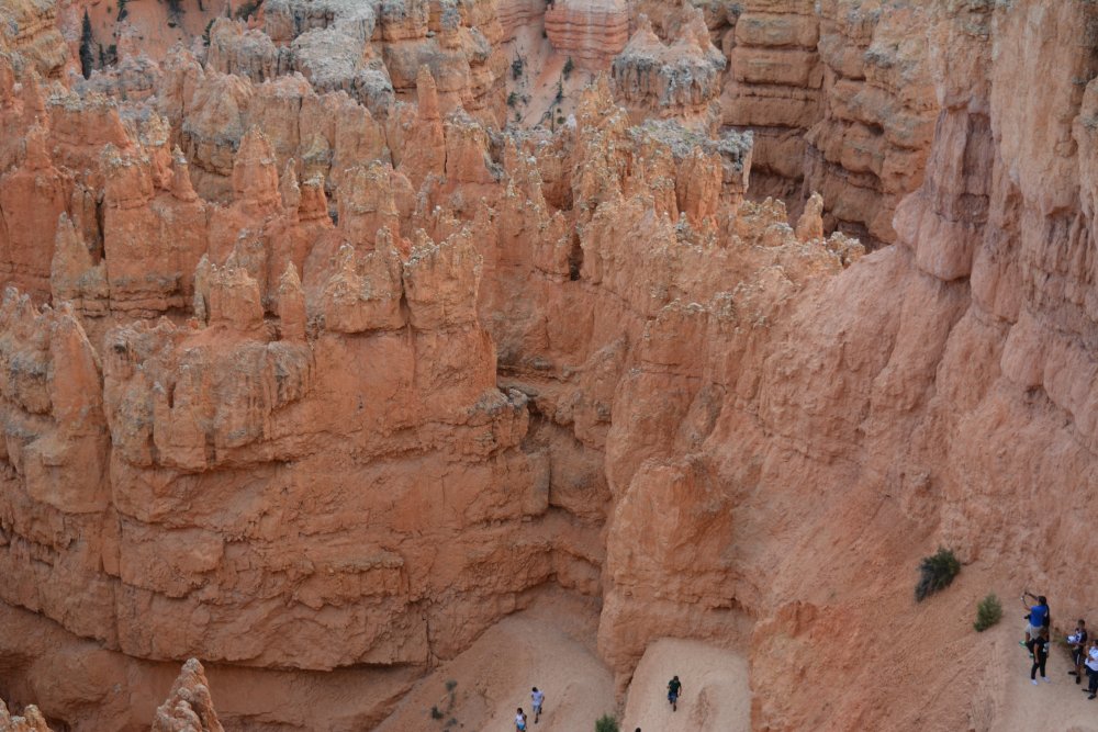
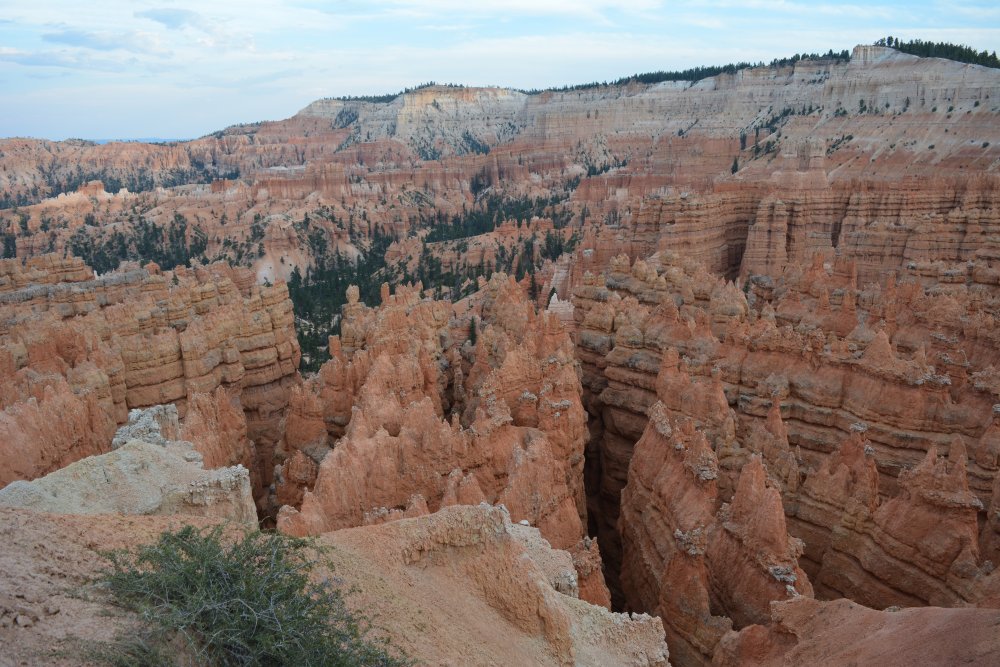
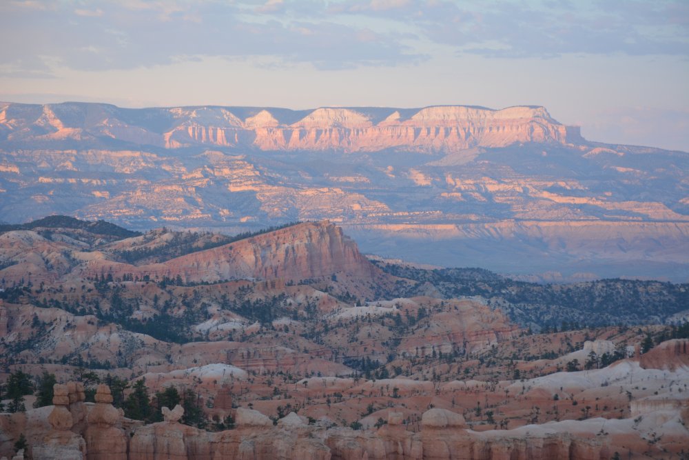
Bryce Canyon National Park
(C), Saturday, 14 Feb 2015
- Inspiration Point
- Sunset Point for sunset (!)
- Bryce Canyon Inn - Saturday night
Grand Staircase -
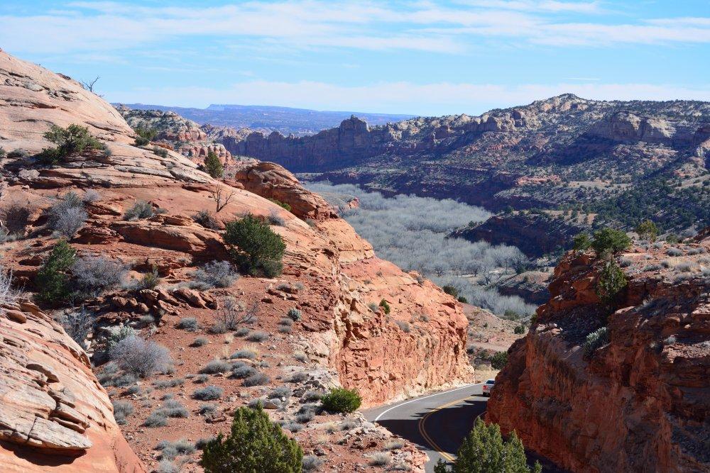
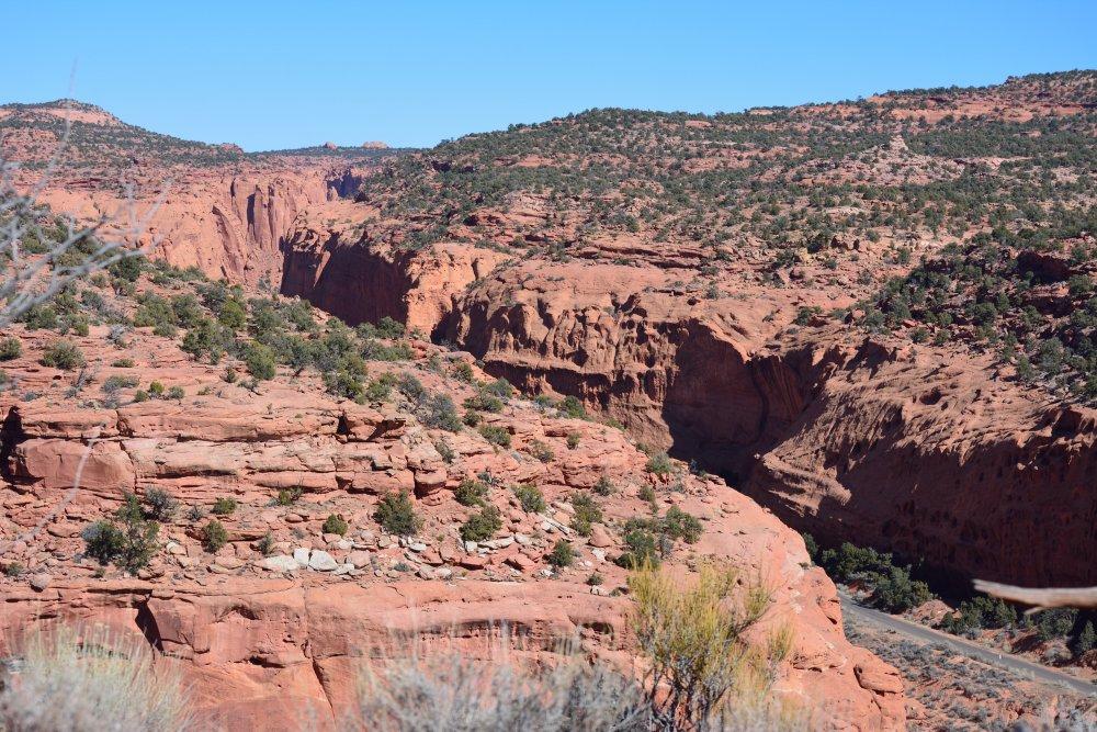
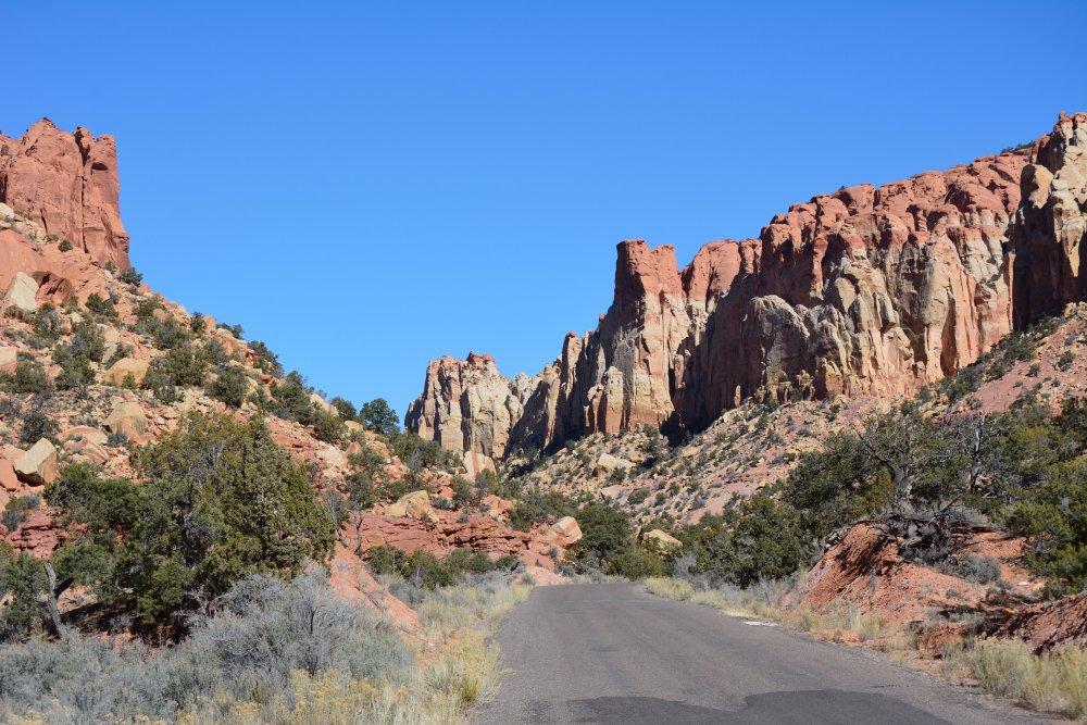
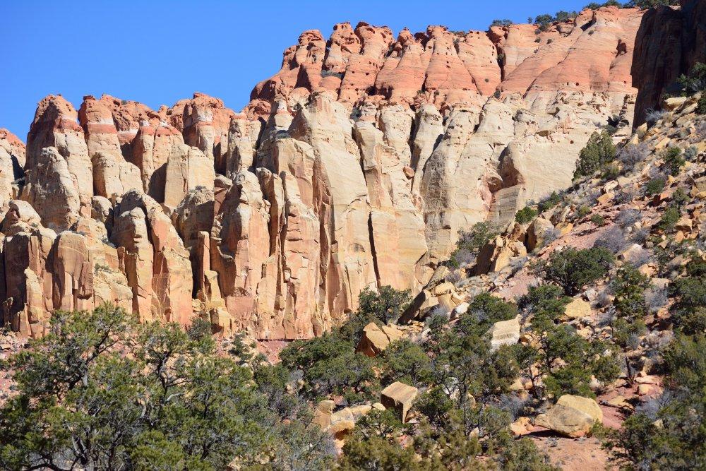
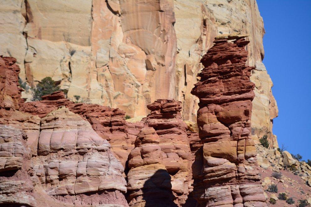
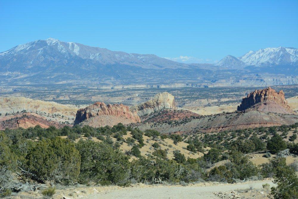
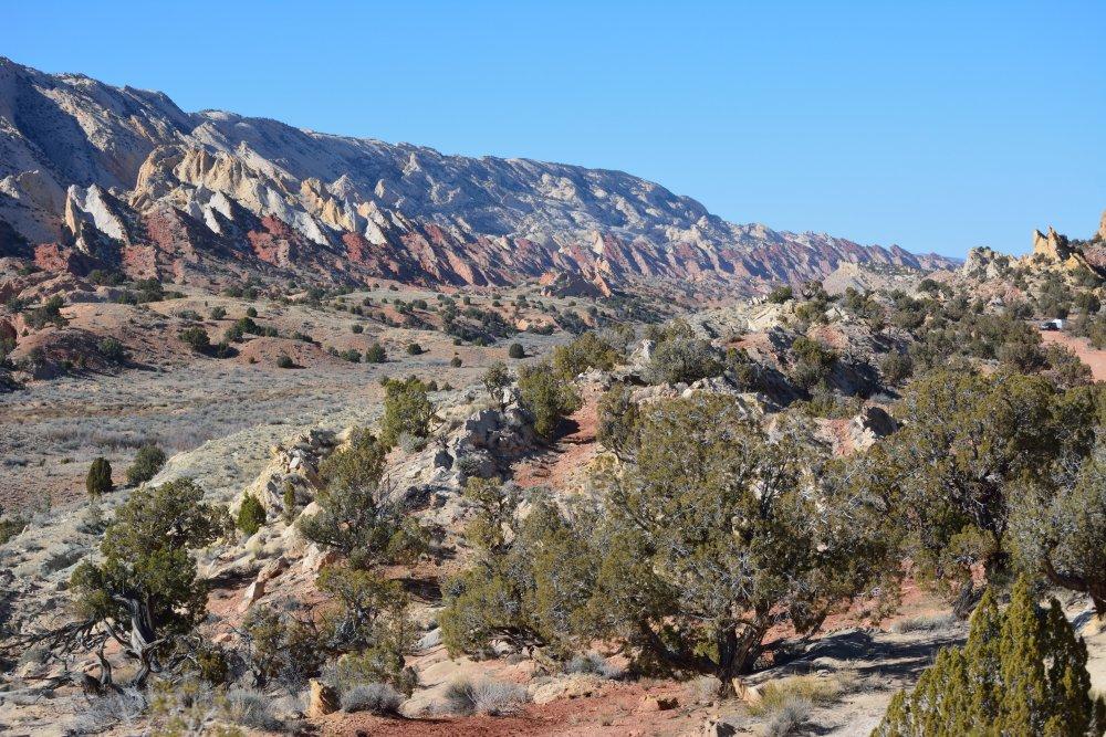
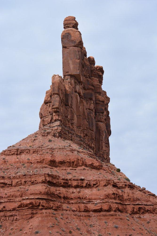
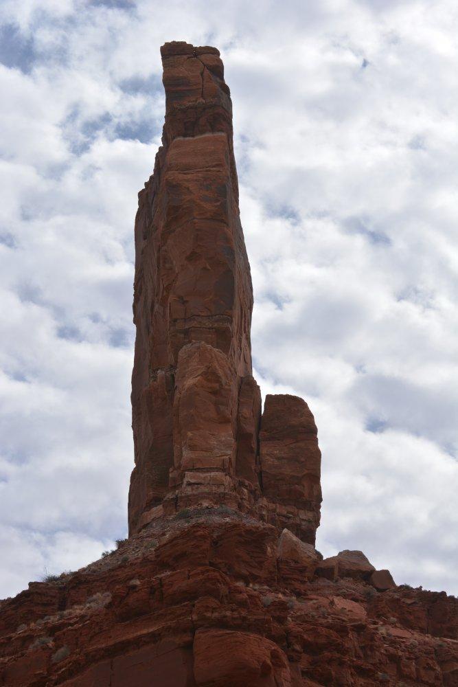
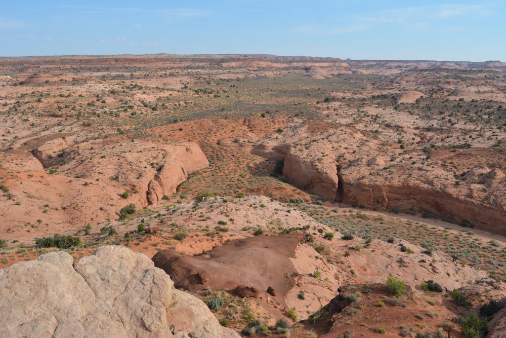
Escalante National Monument (D - E - F), Sunday, 15 Feb 2015
- passed by Kodachrome Basin State Park on the way to...
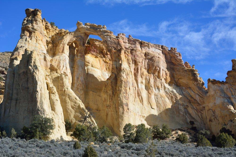
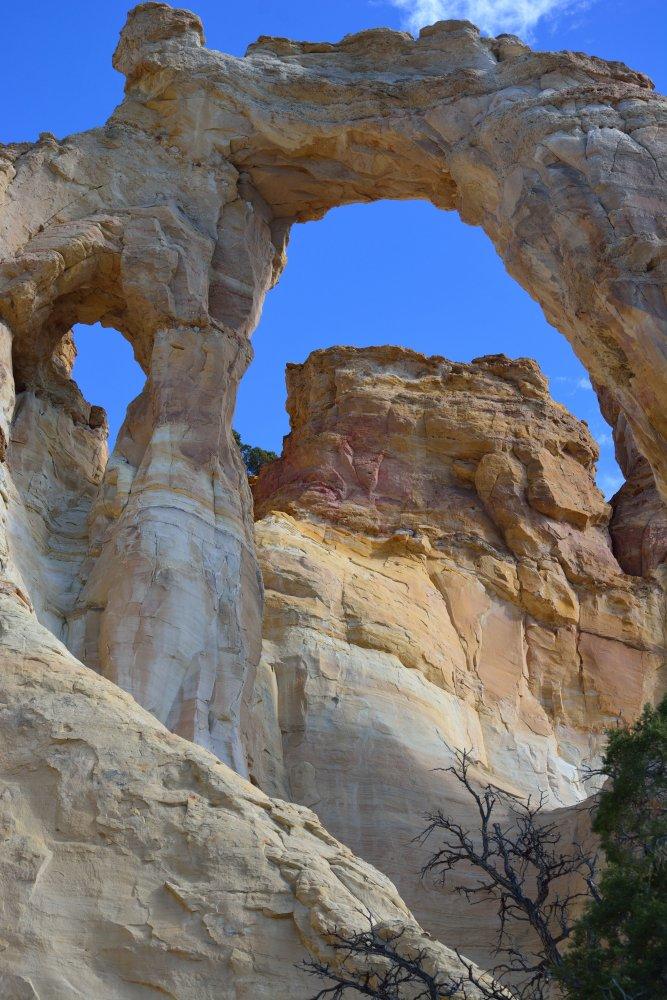
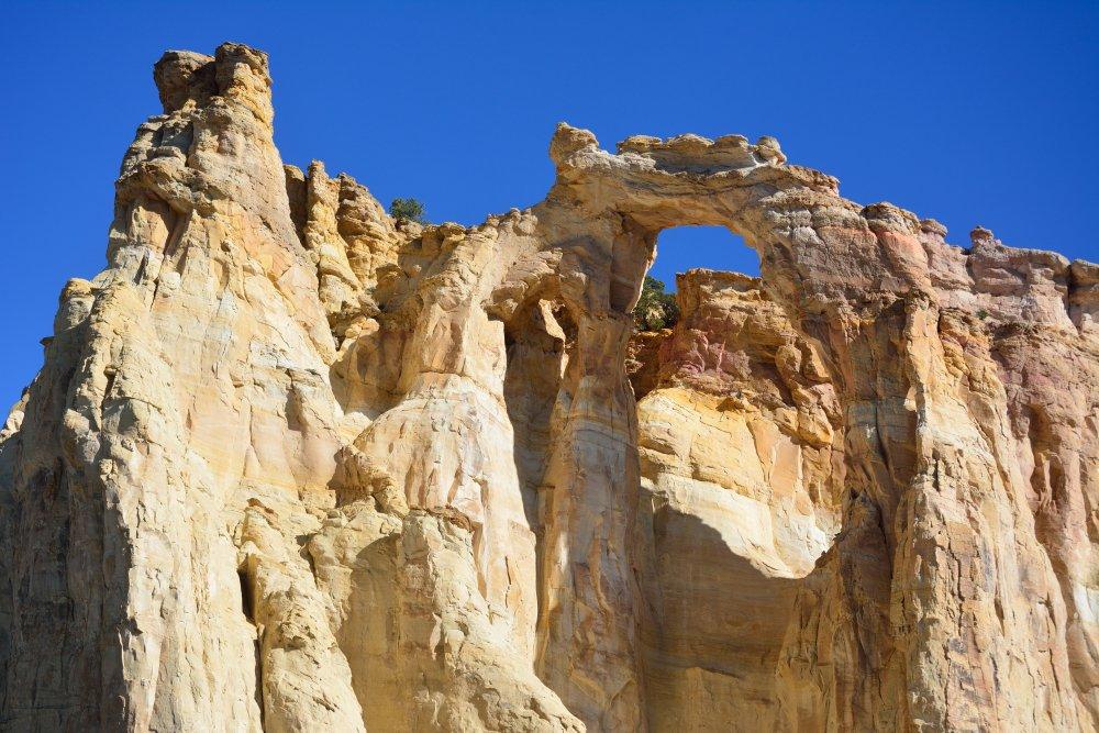
- Grosvenor Arch (D), then to Escalante
- Escalante River Canyon
Head Of The Rocks Overlook and drive across the canyon (E) - across "The Hogback" into Boulder, UT
- Burr Trail Road from Boulder, UT to Long Canyon (F) to ...
Capitol Reef
National Park (G - H), Sunday, 15 Feb 2015
- switchbacks down into Waterpocket Fold (G)
- north along Waterpocket Fold to Notom (H)
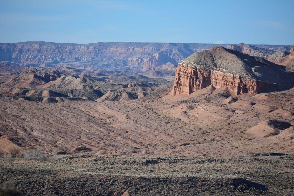
Then north and east to Hanksville, UT (I) and south to ...
Glen Canyon
National
Recreation Area (J), Sunday, 15 Feb 2015
- Colorado River viewpoint high above the river across
from Hite - sunset on Sunday evening
- across the Colorado River and southeast to ...
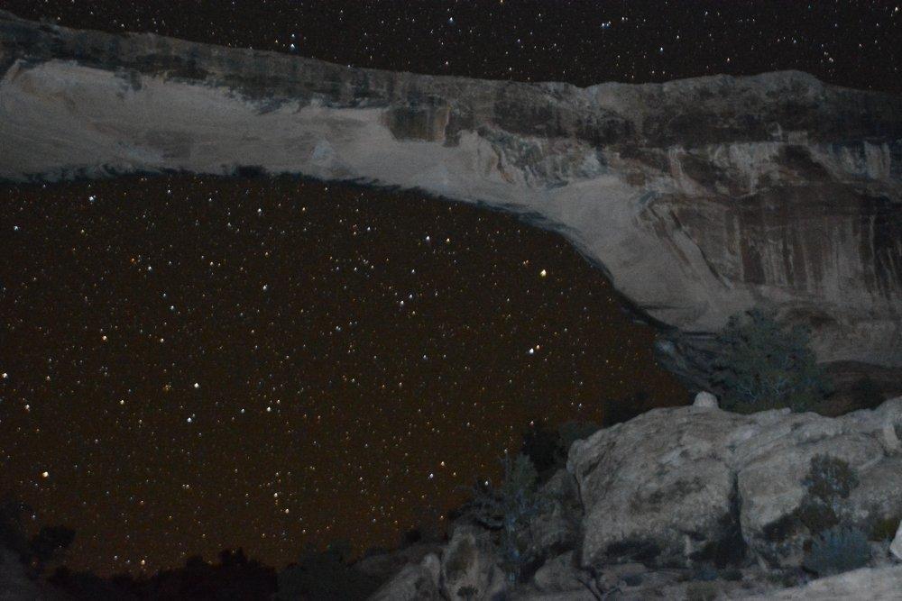
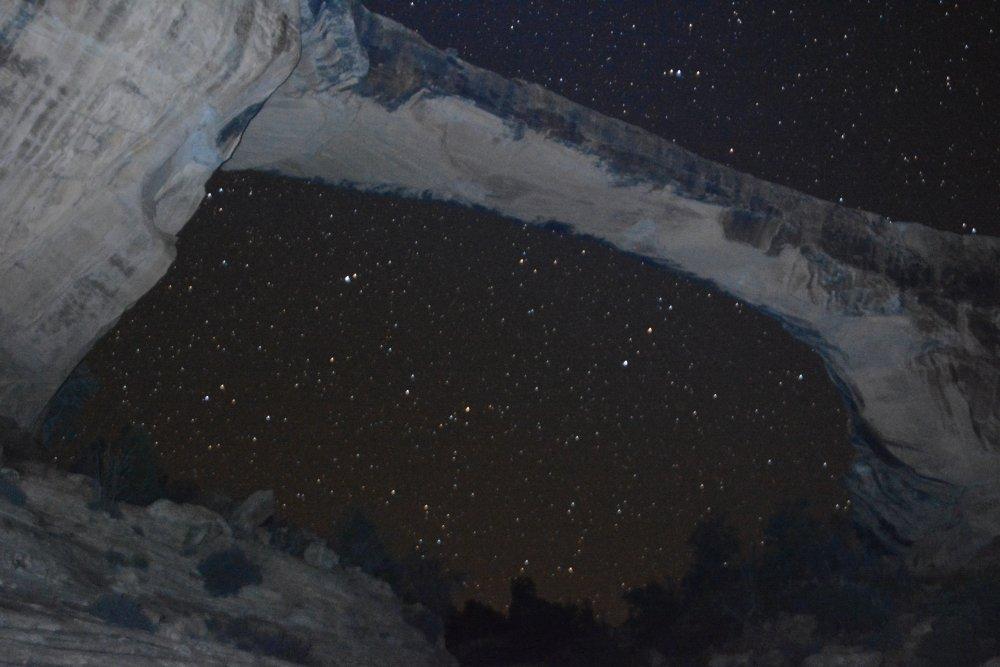
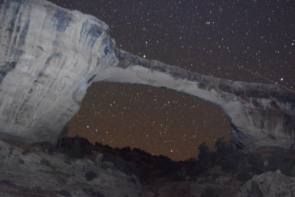
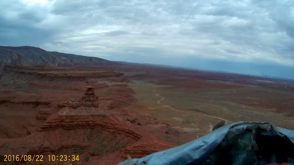
Natural Bridges
National
Monument (K), Sunday - Monday, 15 - 16 Feb 2015
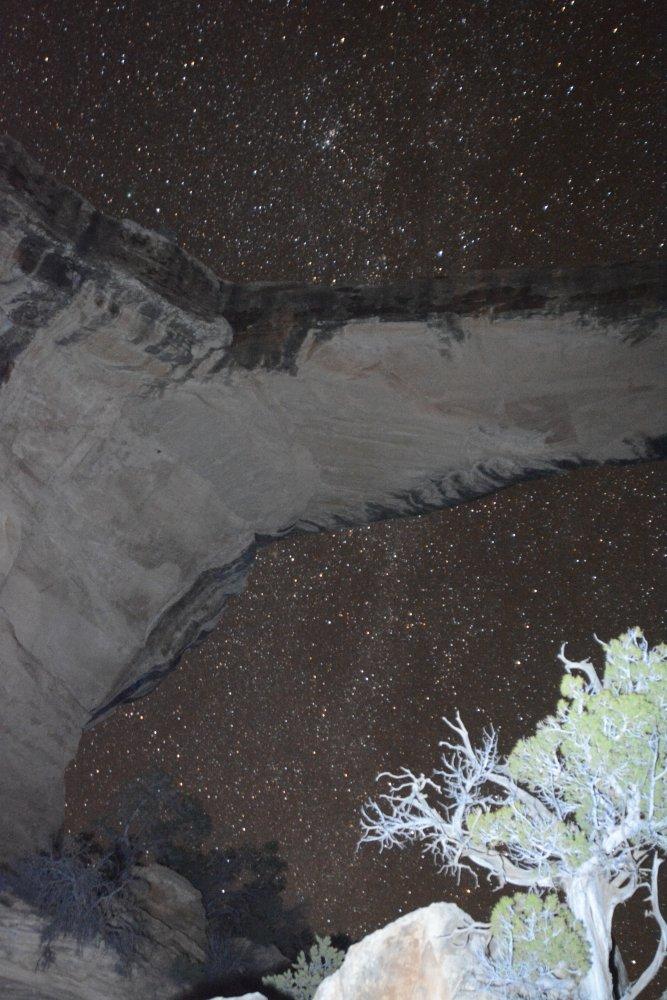
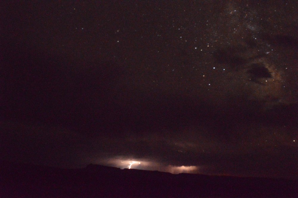
- night photos of stars looking through Owachomo Bridge
- camp in campground in tent - Sunday night
- morning photos of all 3 bridges - Sipapu, Kachina, Owachomo
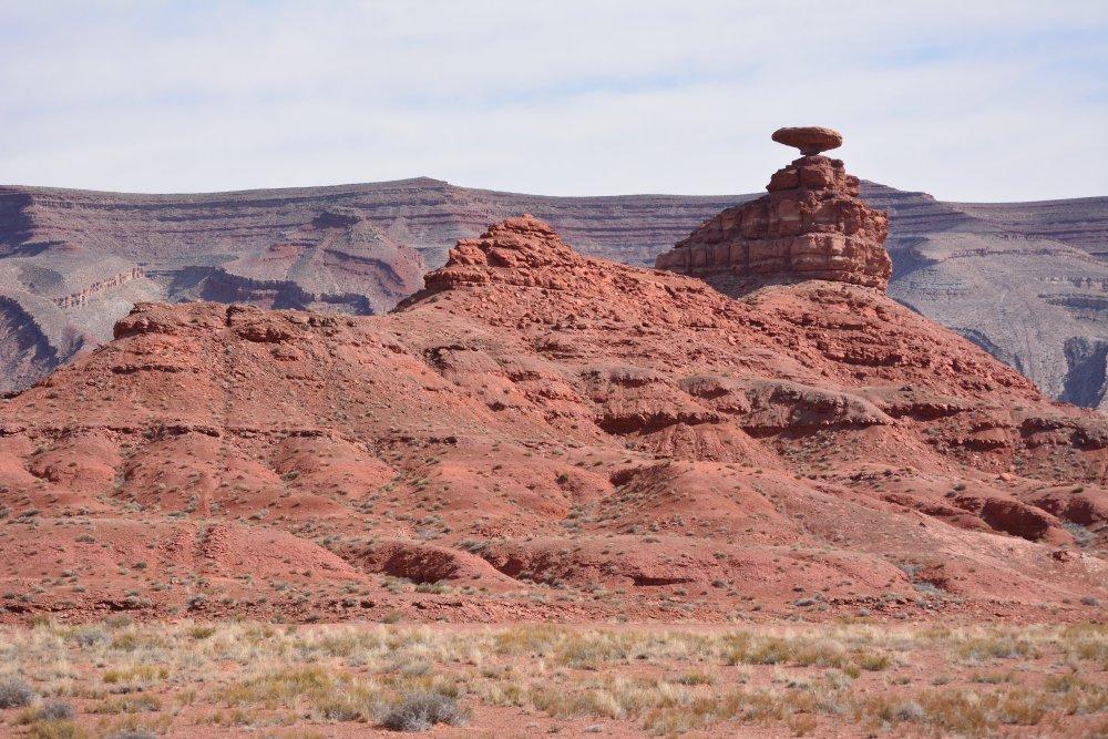
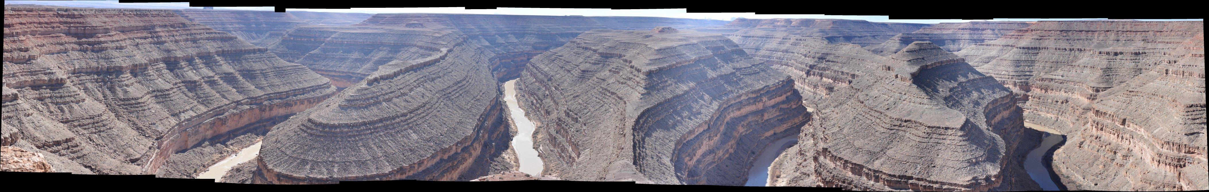
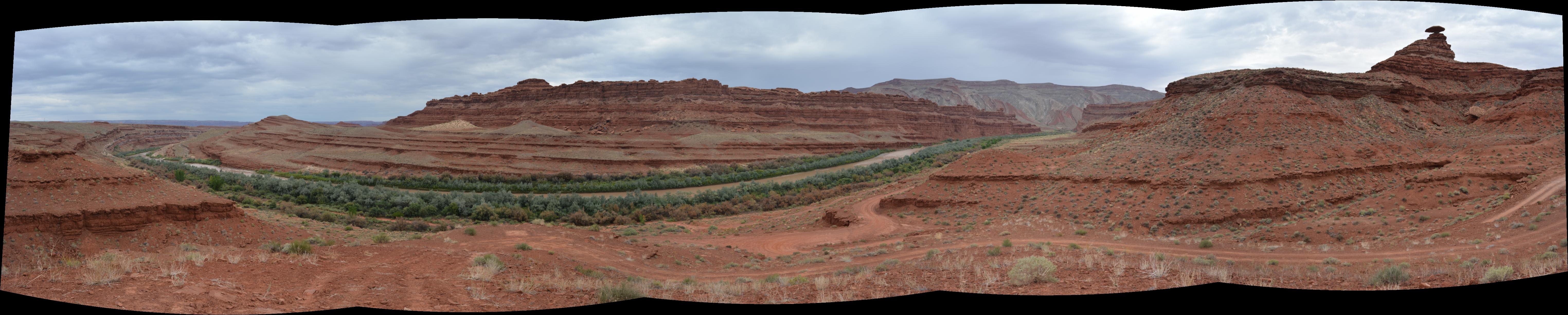
Goosenecks State
Park (M), Monday, 16 Feb 2015
- entrenched meanders of the San Juan River
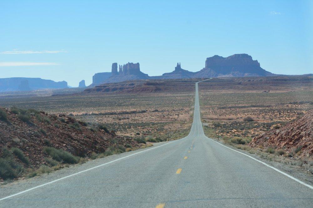
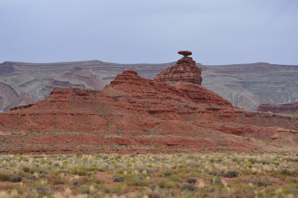
To Mexican Hat, then past Monument
Valley
- took the famous photo along the road entering Monument
Valley driving south, continuing on to ...
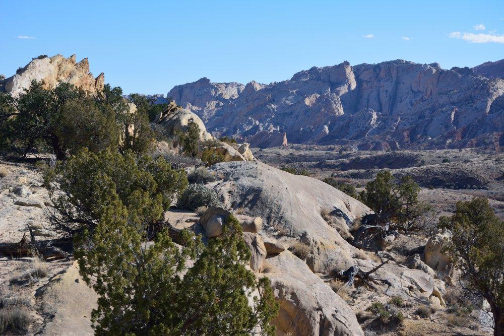
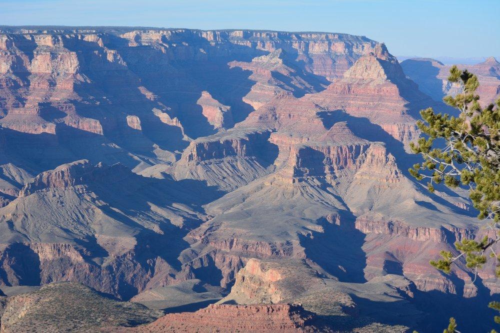
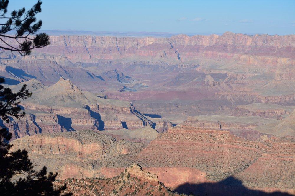
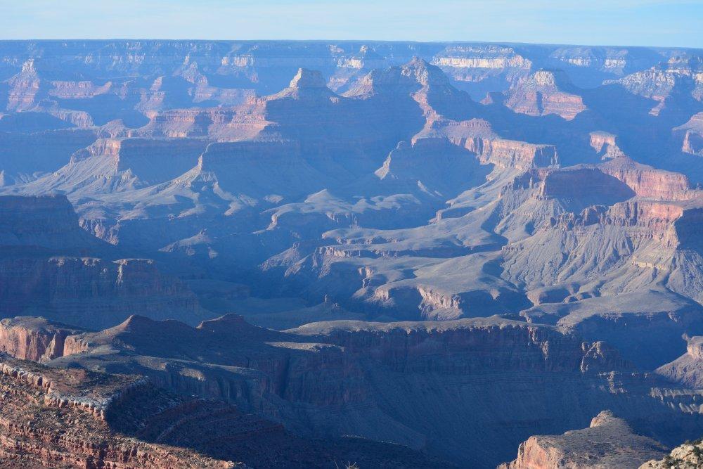
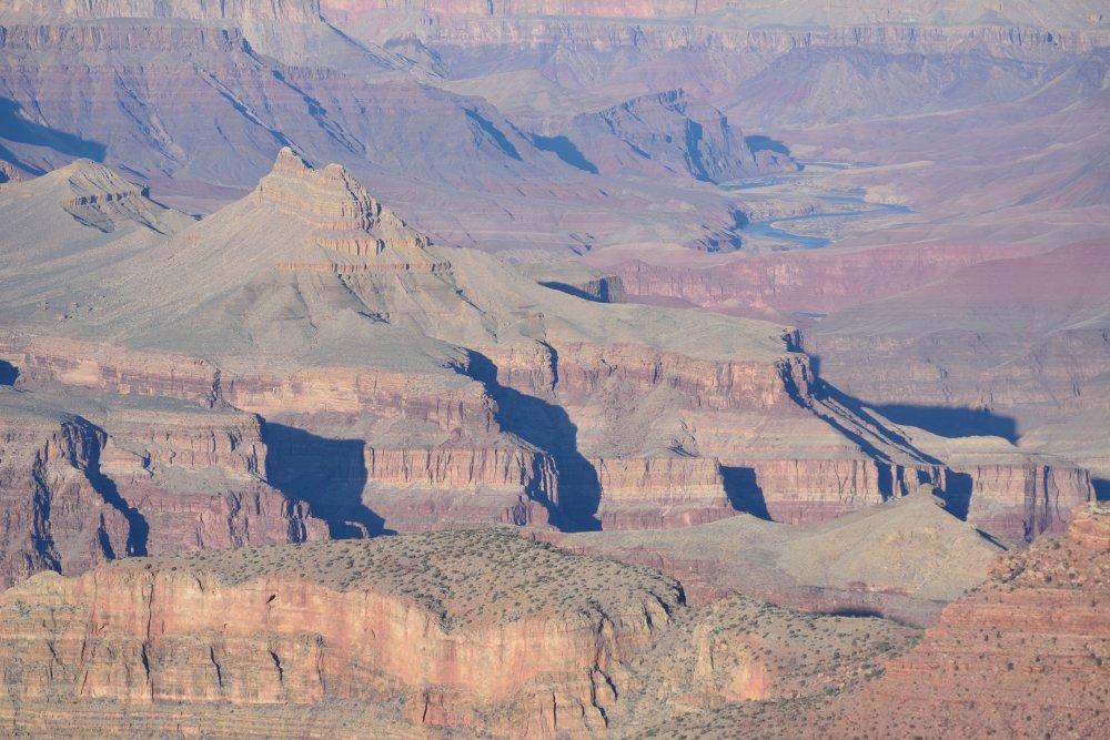
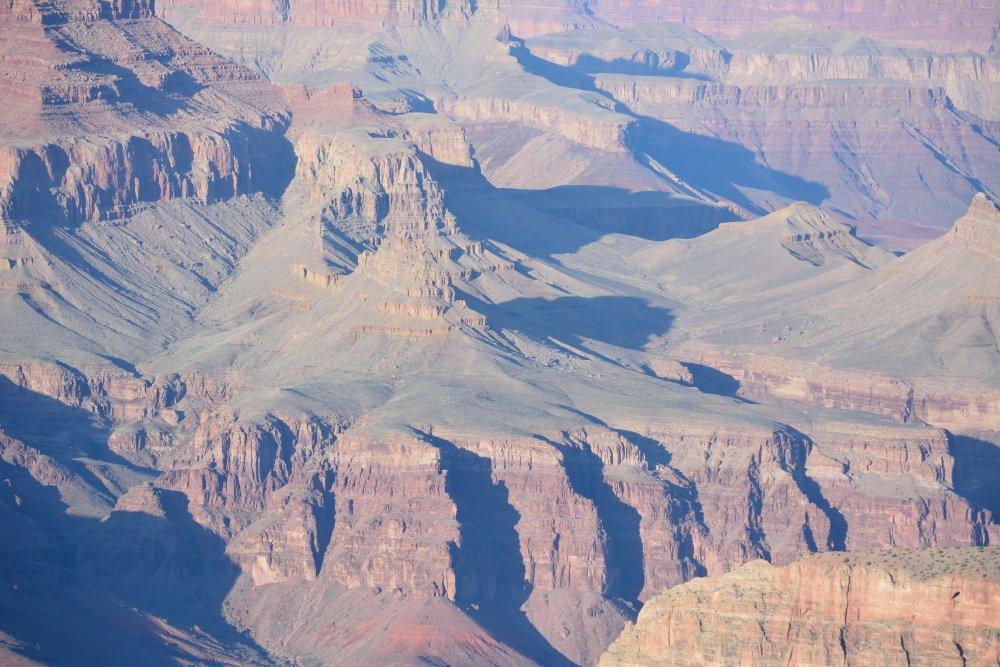
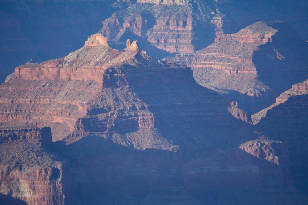
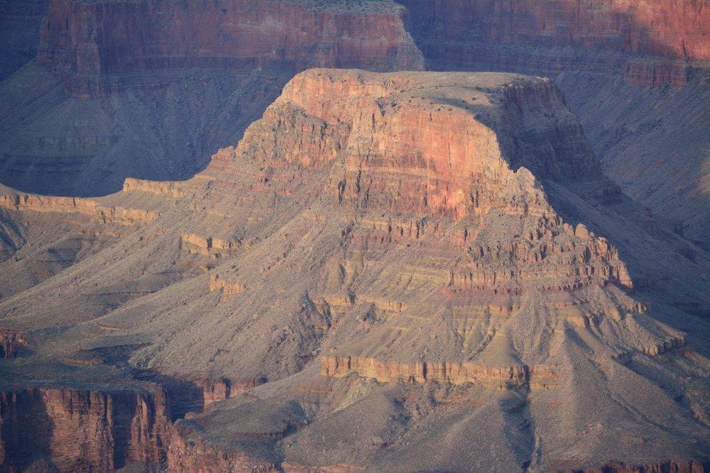
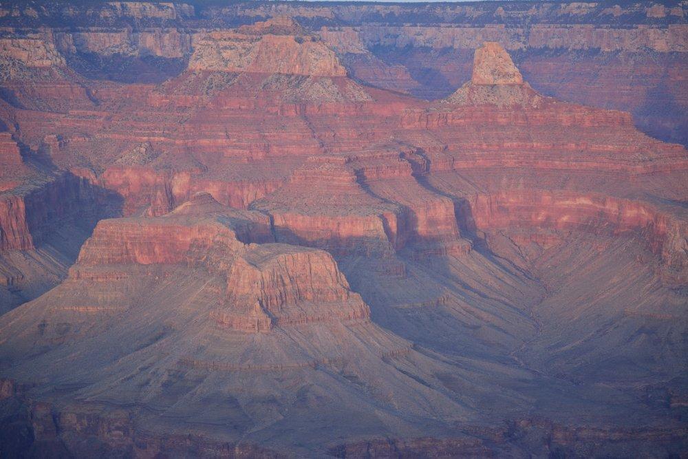
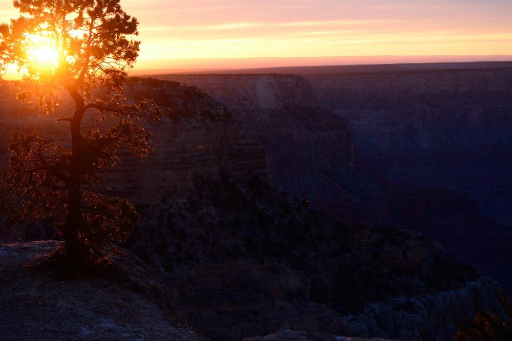
Grand Canyon
National Park (N - O), Monday, 16 Feb 2015
- East Rim - Watchtower (N)
- Grandview Point
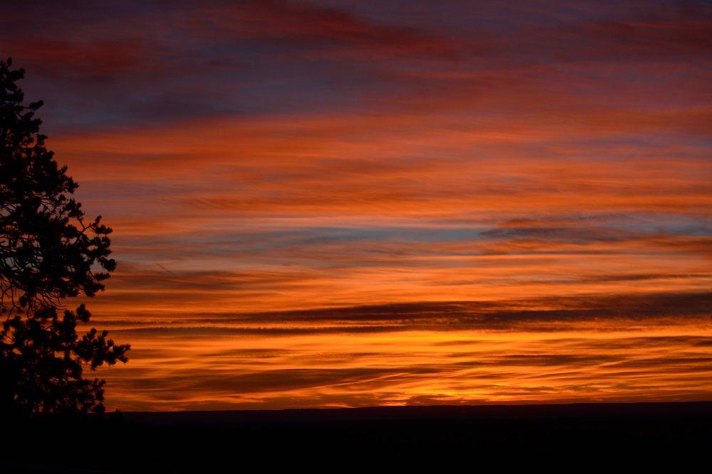
- West Rim - Hopi Point - sunset on Monday evening (O)
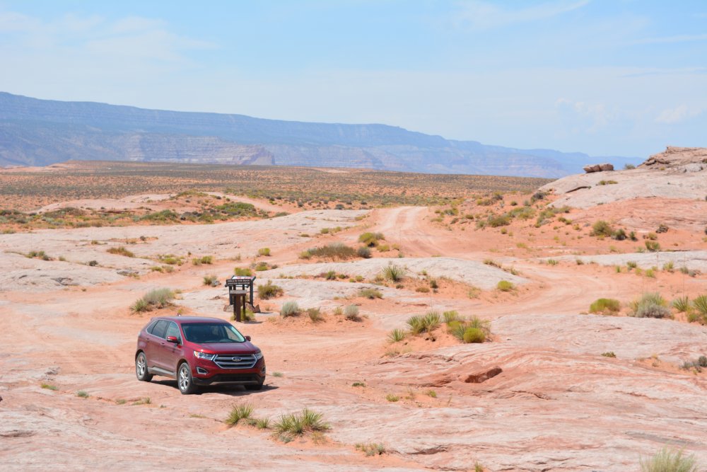
Monday was the President's Day holiday, so I had a three day weekend, and decided to
take advantage of it. The small rental car I started
with on this trip had
a check engine light, so they gave me another car. The second
car had a
tire
that kept getting low, so they finally gave me a Chevy Captiva small
SUV. It was perfect for this weekend
trip made from Friday after work through Monday evening. Here
goes…
I finished
work in Yuma at 3:30 PM, and
headed north towards
Zion. I made it into Zion at around 10:30 PM, and found a note at the
ranger
station – all national parks were free for the long President’s Day
weekend. I
was prepared to buy a new national park pass, as my old one had
expired, but I
lucked out and visited all these national parks for free.
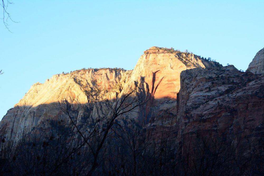
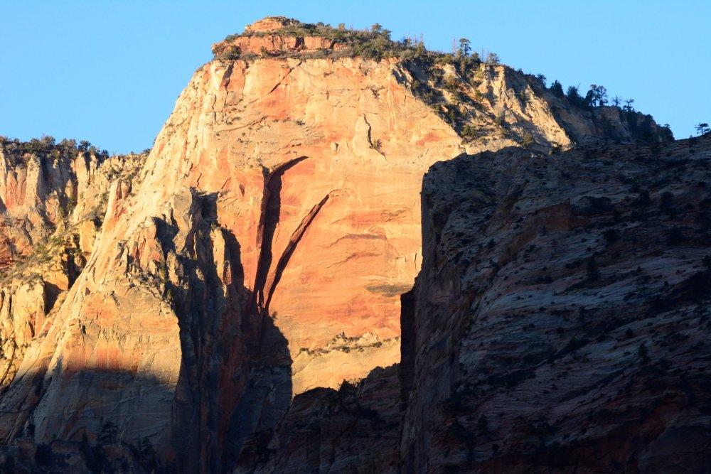
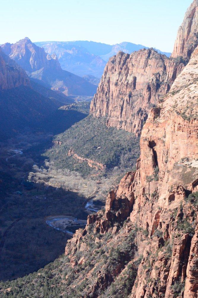
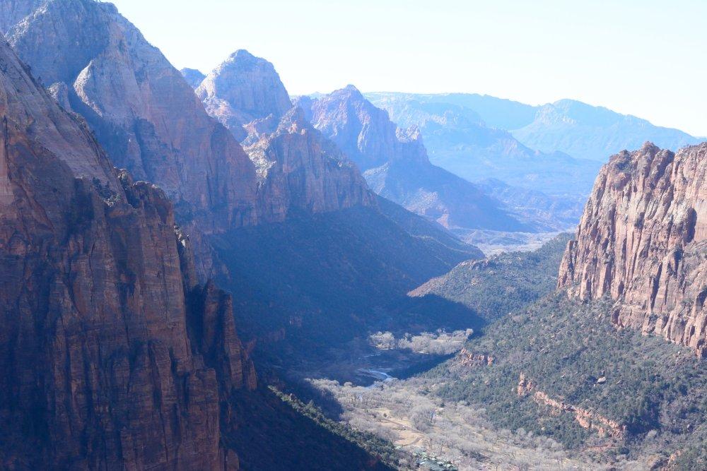
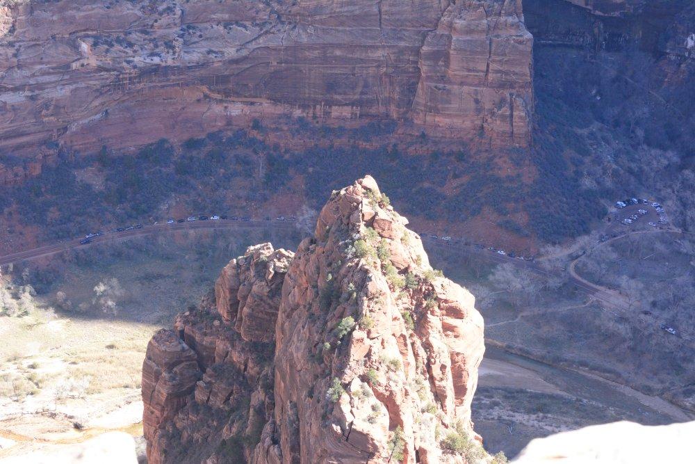
This
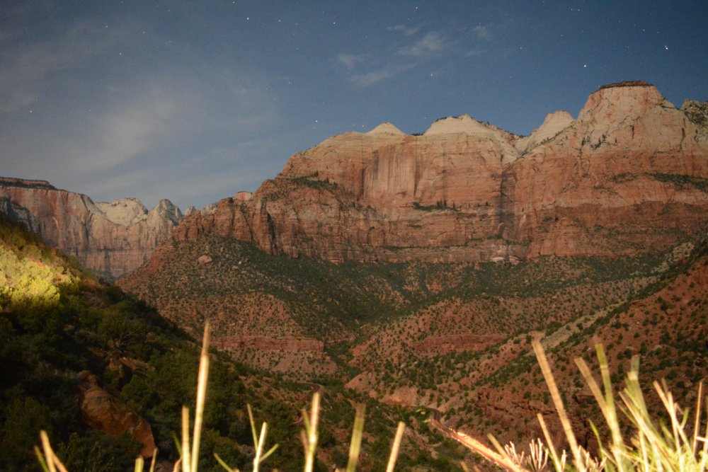
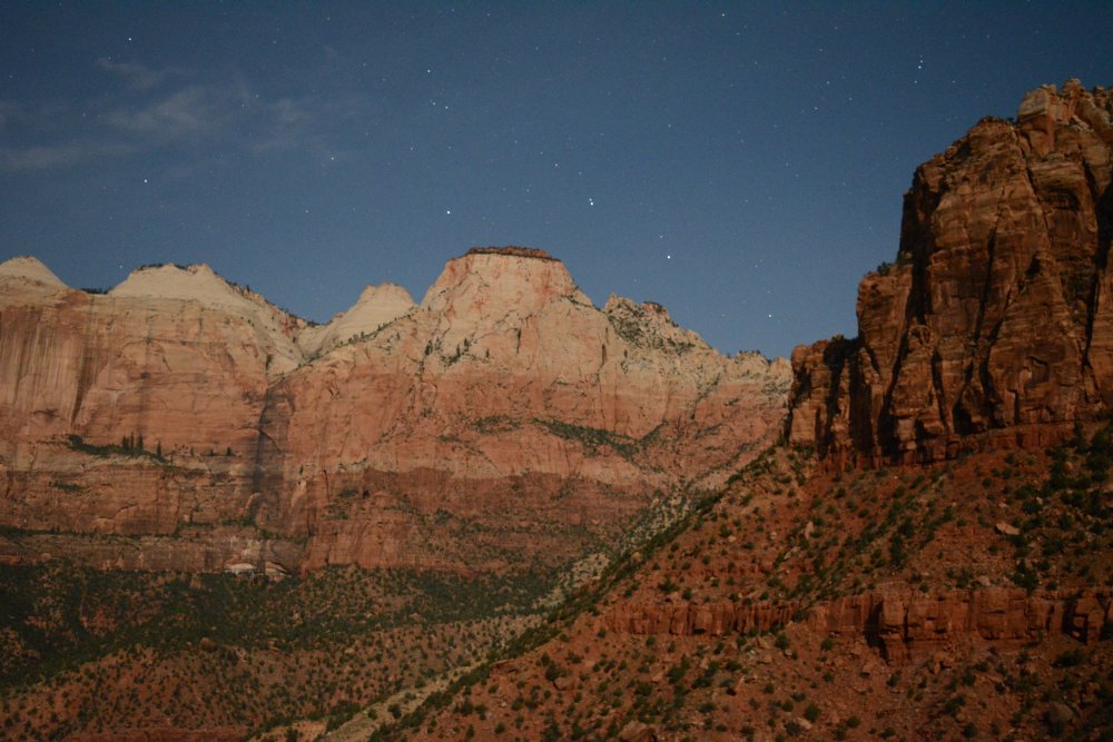
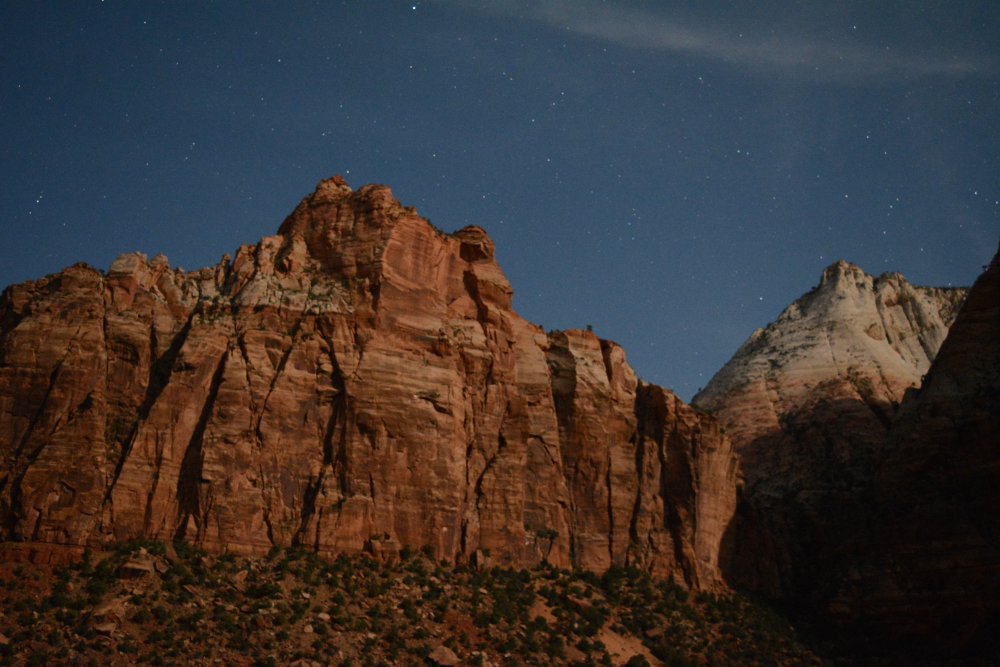
time of the year, the Zion Canyon shuttle is not
running, so you can drive your car into the canyon. It was pitch black,
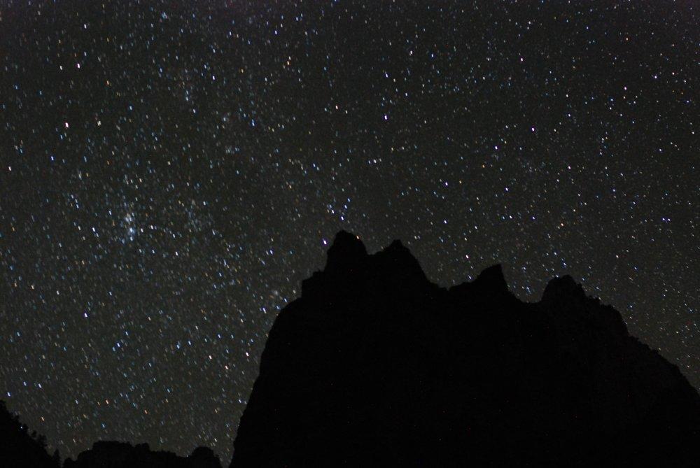
but I
took some night photos of stars with the canyon walls and rock
formations as
outlines below the stars. I still needed a place to sleep, so first I checked at the campground
for
room to camp, but it was full. Then I
checked at the Zion Lodge, but because it was Valentine’s Day weekend,
the cheapest
room was $200. I heard my SUV with the air mattress
calling.
So I drove to an empty
parking lot near the head of the canyon, re-arranged all my gear ( I
had my
camping equipment ) and went to sleep around midnight. I slept
well, got up
at 8 AM, and drove ½ mile to the Angel’s Landing trailhead. I was one
of the
first cars in the parking lot. I asked a few people
if the
trail
was clear of ice, and everyone said it was in great shape.
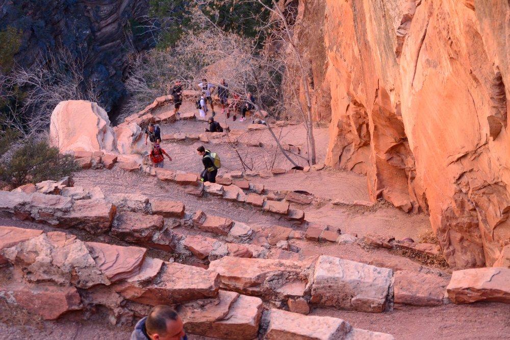
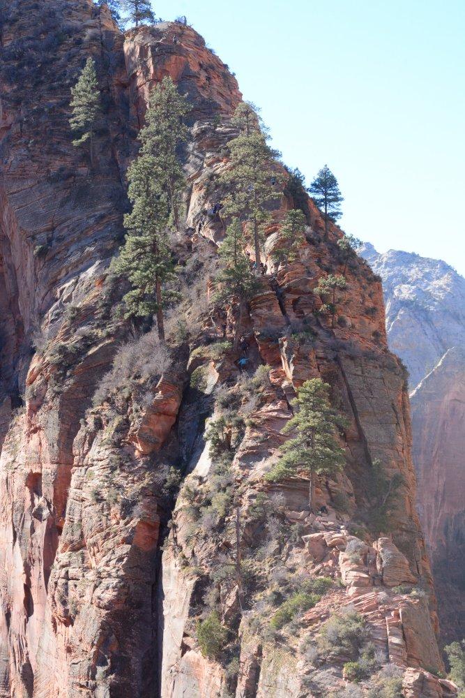
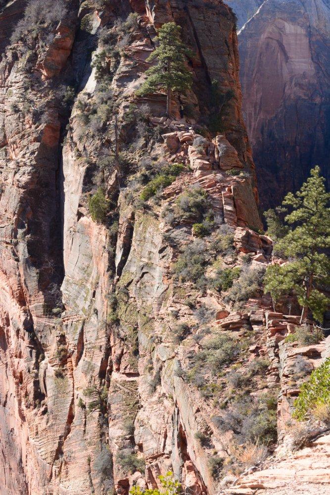
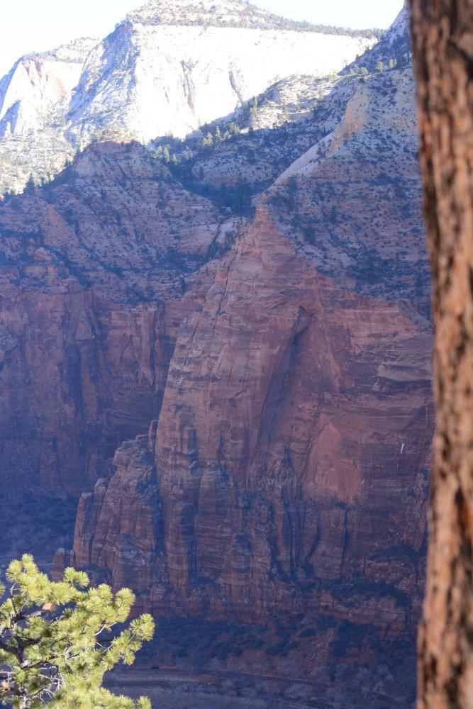
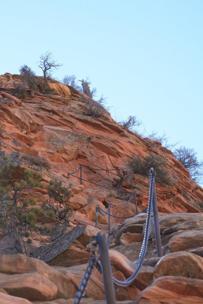
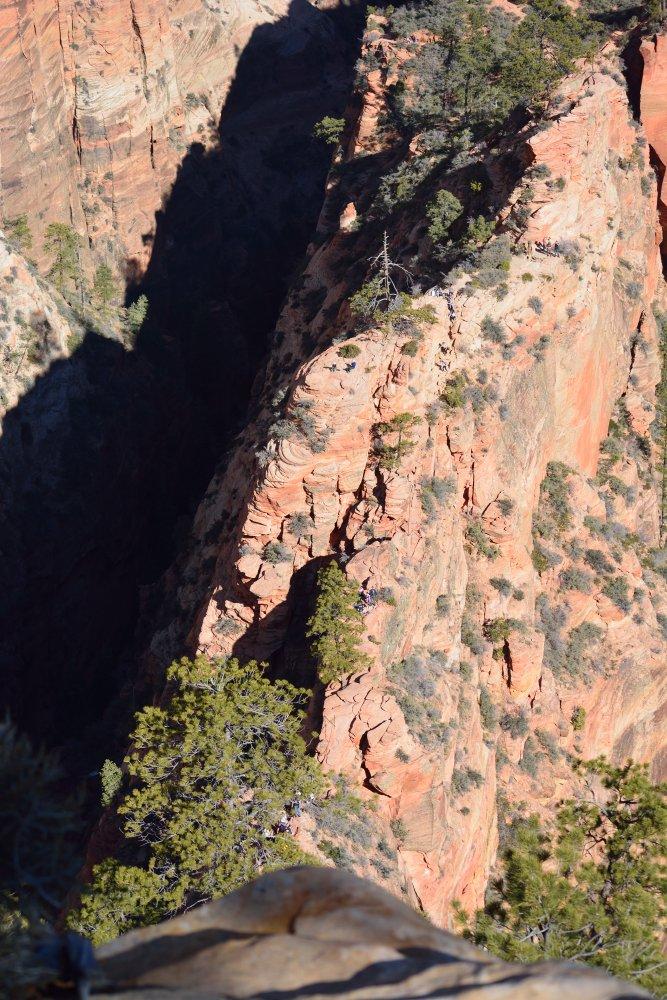
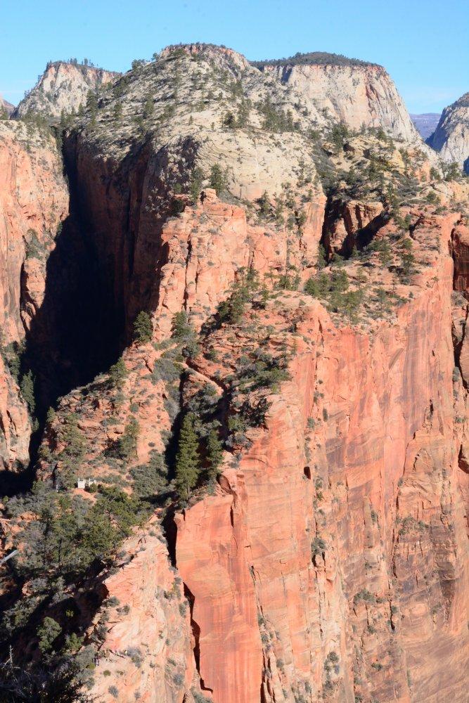
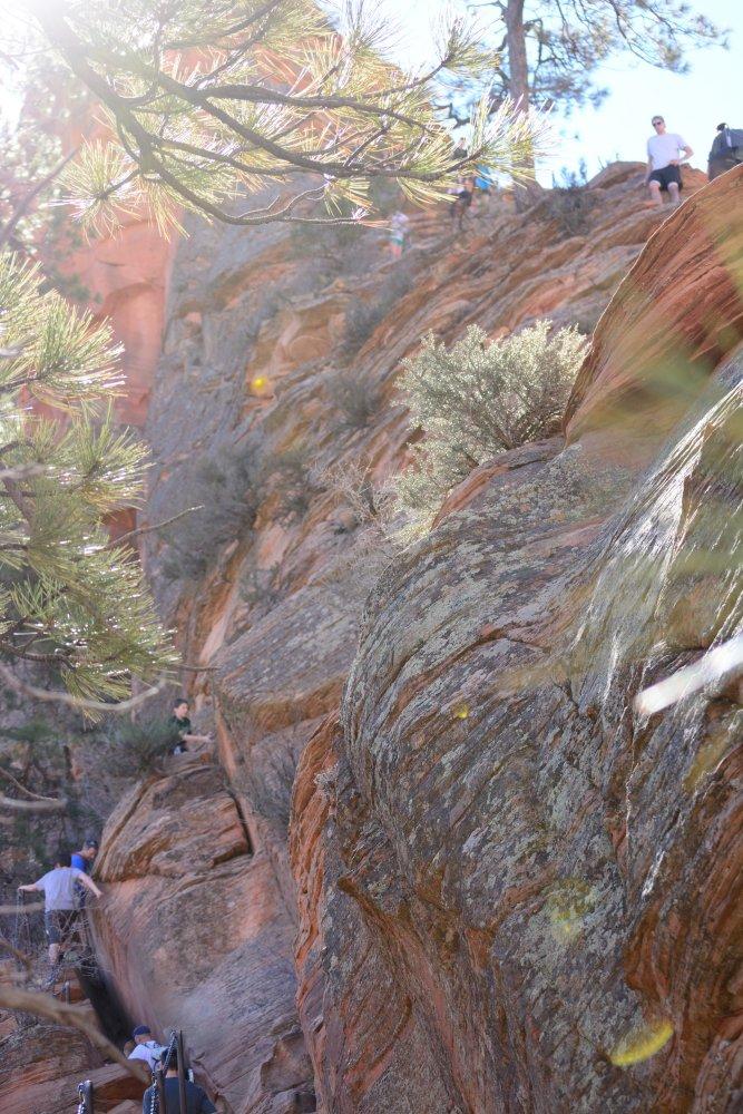
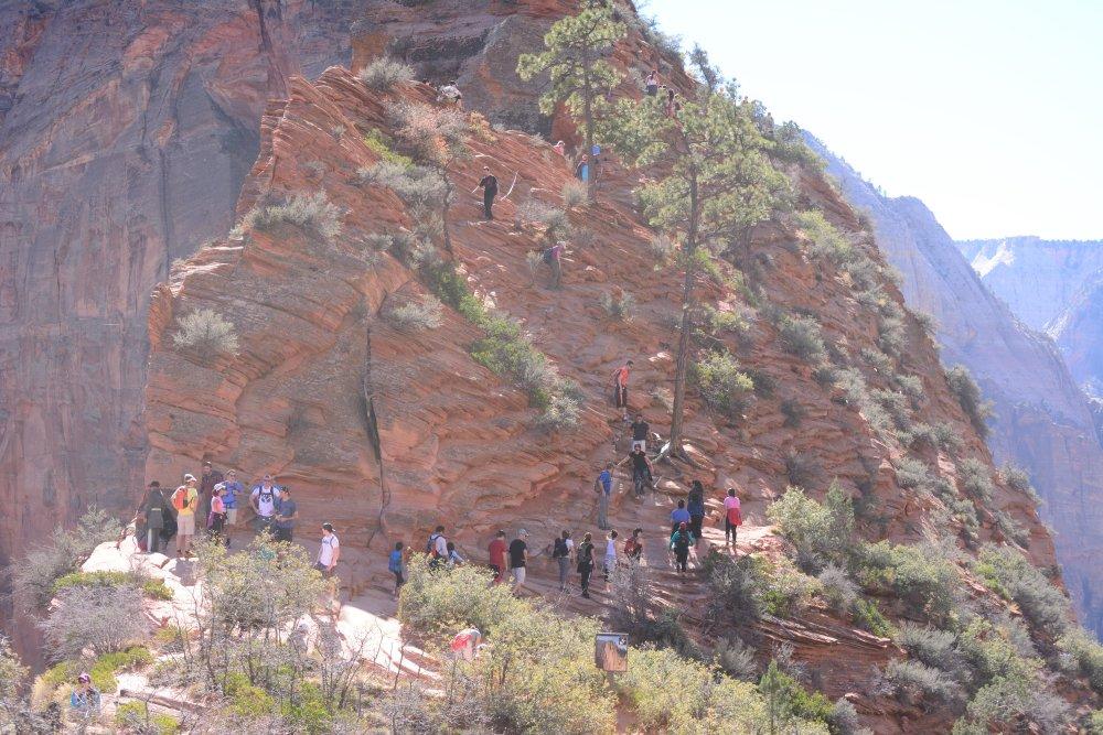
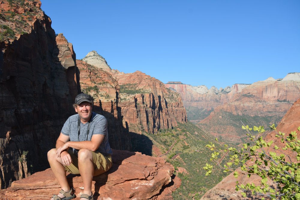
I climbed Angels Landing a few years ago, but this time I had my
GoPro camera on my head to capture the whole climb
and descent. I made it to the top, 1400 ft above the valley floor,
pretty quickly. There were more and more people arriving and climbing, and
the top was becoming full. As someone said to me, it was the perfect storm
for February – the temps were in the 70’s, there was no ice at all on the trail,
it was a 3-day weekend, and it was Valentine’s Day. It became packed
with people, and the climb down took a while longer; the chains are one-way and
you have to alternate up/down though most sections. The photos below and
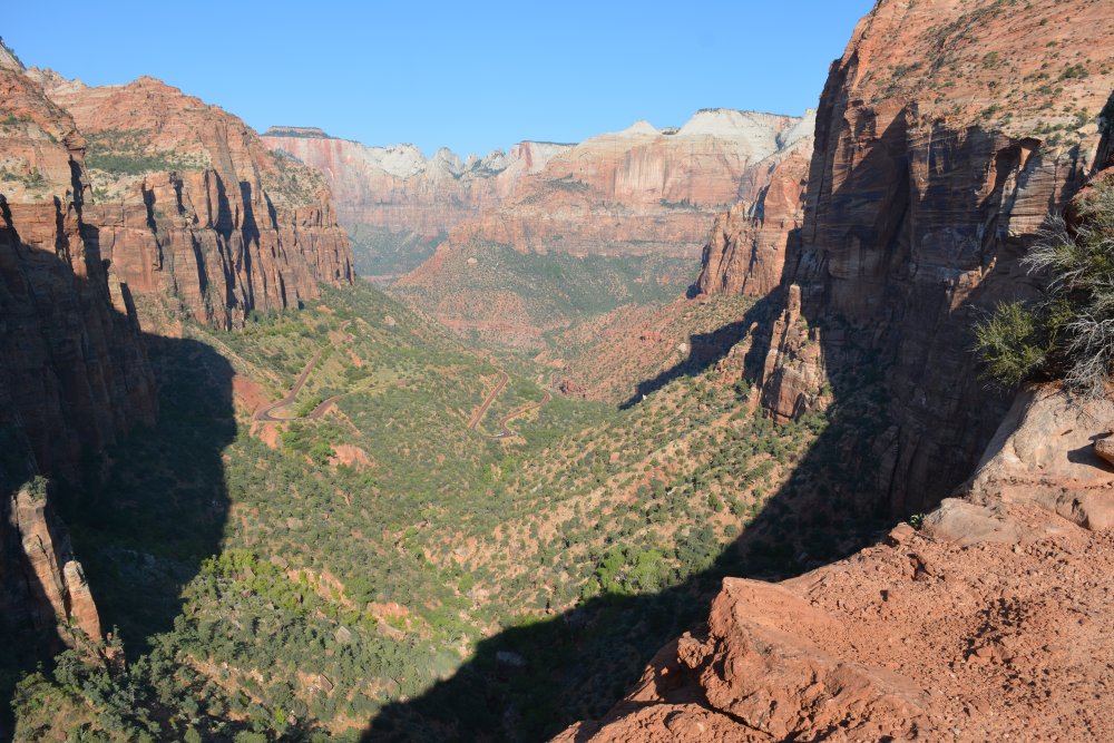
the GoPro video show lots of people coming up as I was descending. I made it back
to the parking lot, 5 miles round trip and 1400 ft vertical one-way, in about 4.5
hours. The roads were packed also, so it seems a lot of people took
advantage of the free park entry and long weekend. Cars are not allowed into the
canyon from March 1 through November 1, so this was one of the last weekends
before the shuttle would be running. After driving around for just a
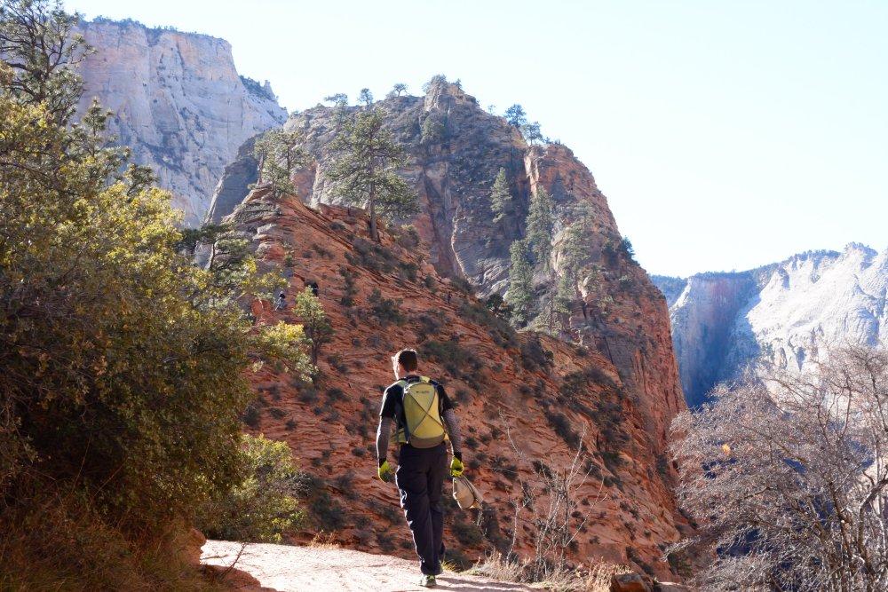
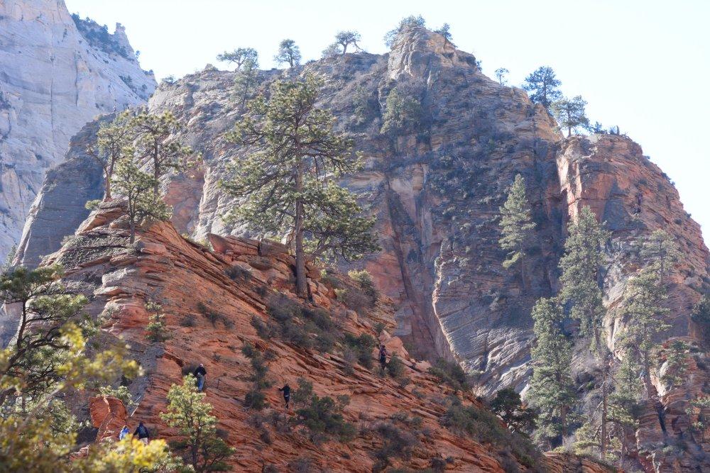
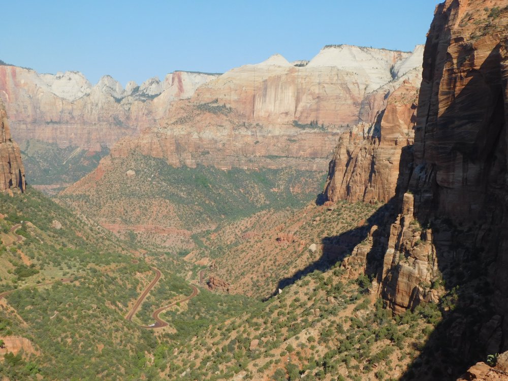
short while and taking some more photos, I headed out of the park and up through
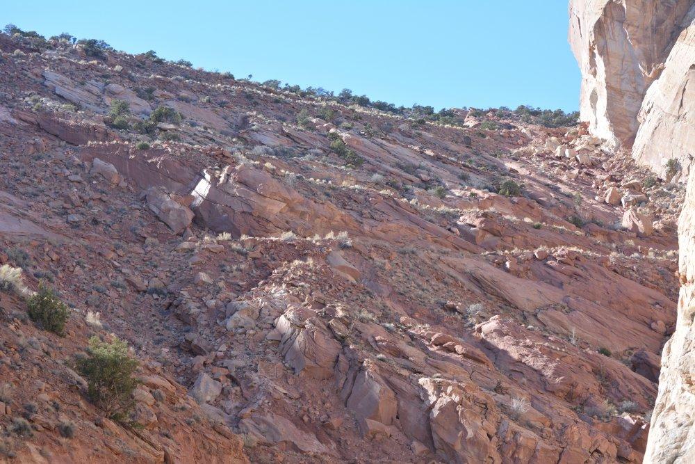
the tunnel going east on the Mt Carmel road.
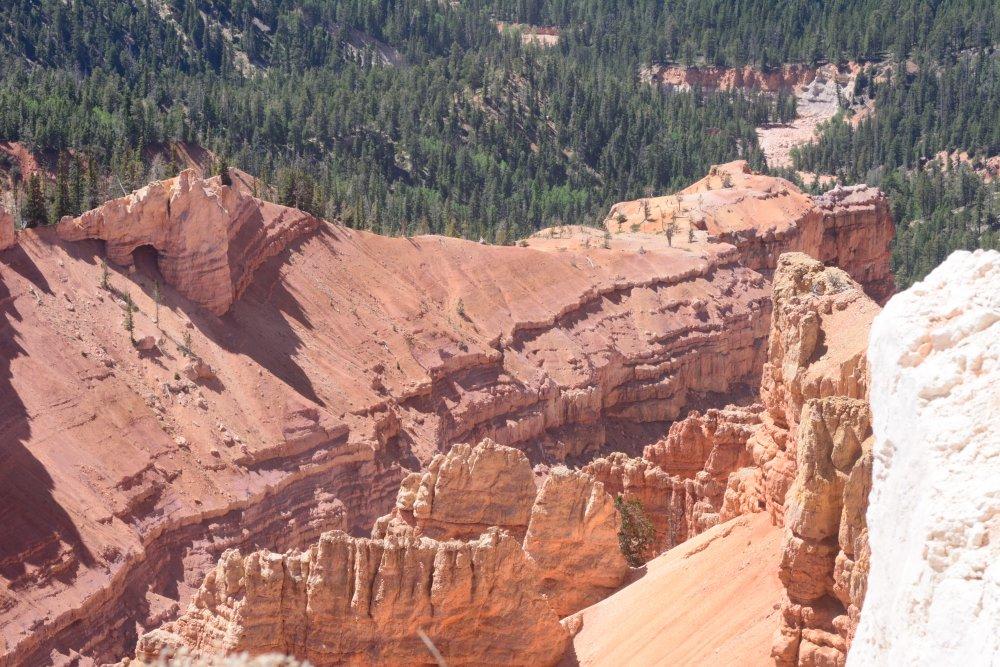
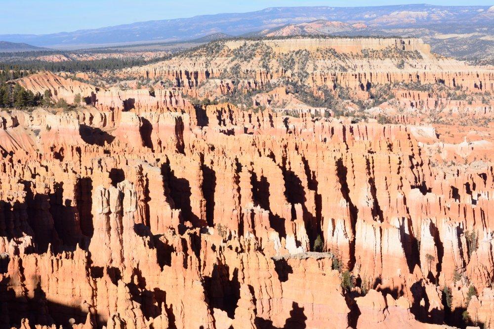
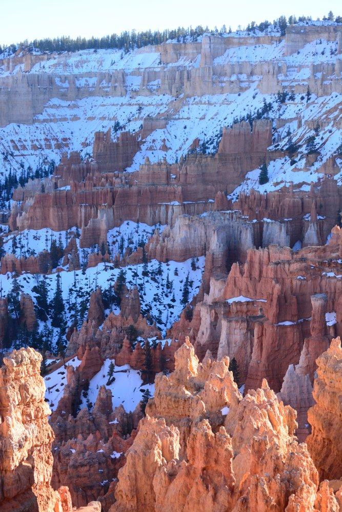
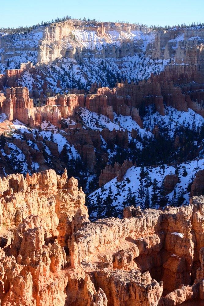
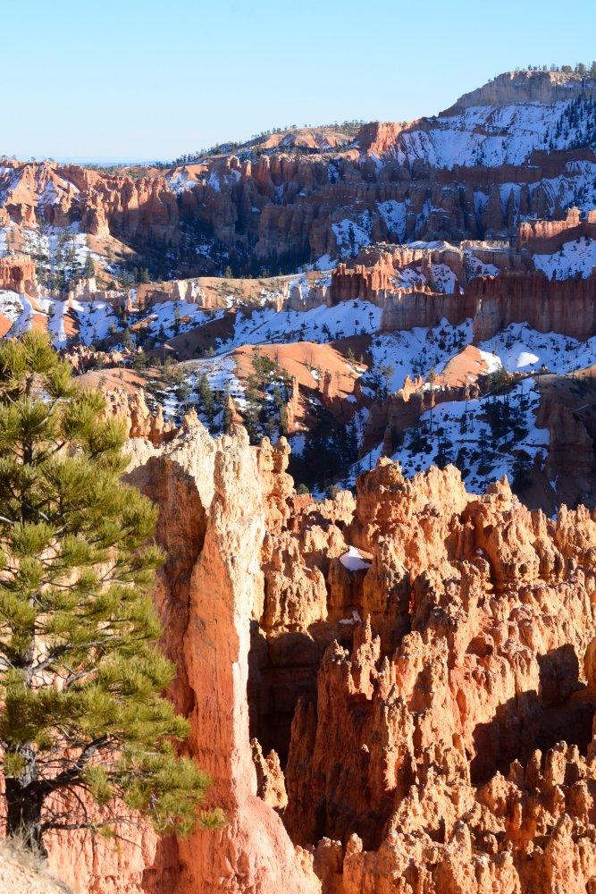
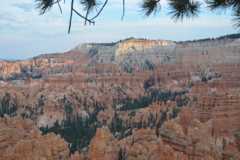
I made it
to Bryce Canyon about an hour
before sunset, and went to Inspiration Point, and then watched sunset
from Sunset Point. See what I did there? Pretty
cool, huh? I spent Saturday night at a hotel in Bryce Canyon City.
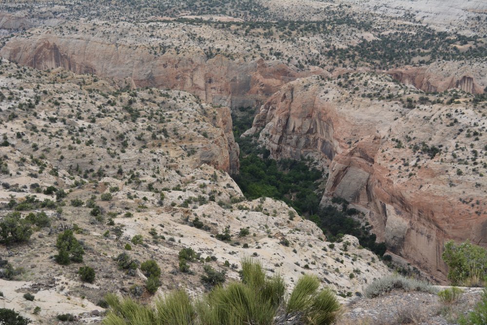
On Sunday, I drove east past Kodachrome Basin to Grosvenor’s
Arch, then back to the main road, stopping at
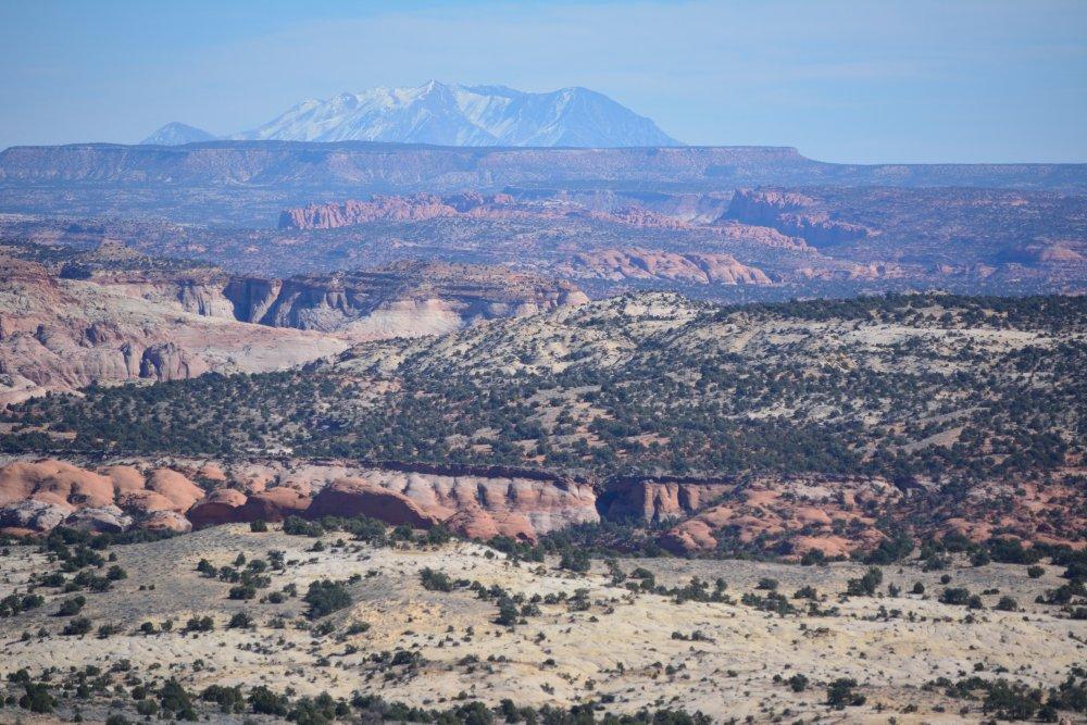
Powell Point, and continuing east to Boulder, UT. After leaving the town of Escalante and passing
Hole-In-The-Rock Road, the road descends and crosses the Escalante River canyon
on the way to Boulder. This whole section has incredible scenery, and the
northeast end of the Escalante River
canyon
road entering into Boulder is unique. This section of road is called "The
Hogback"; the road is on the spine of the
ridge with two lanes that makes a few curves at the end with no guardrails and
nothing to either side of the road with long drop-offs into the canyon. Boulder is
where the Burr Trail Road starts,
eventually
reaching Capitol Reef. That is a very cool road
also, with
some seriously nice views and an excellent drive through a narrow
canyon called Long Canyon, before emptying out onto the plateau just to
the west of Capitol Reef. The road then drops
into Capitol
Reef, descending a very steep set of switchbacks
down to the
Waterpocket
Fold. I went north along the Fold, then east,
heading for
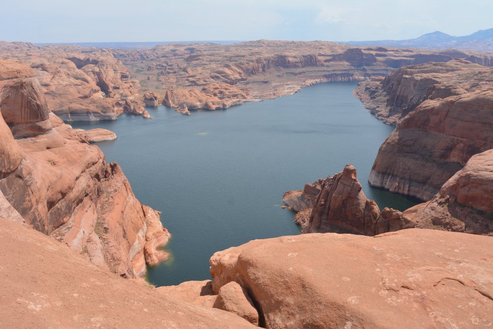
Hanksville, then south again to Glen Canyon. I watched sunset from a viewpoint
high above the Colorado River across from Hite.
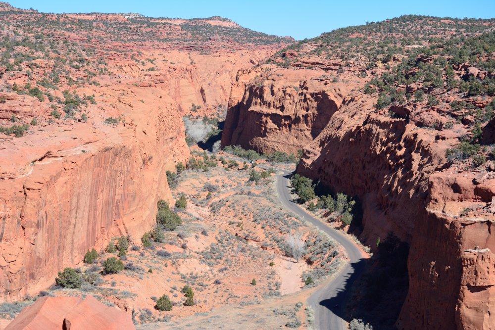
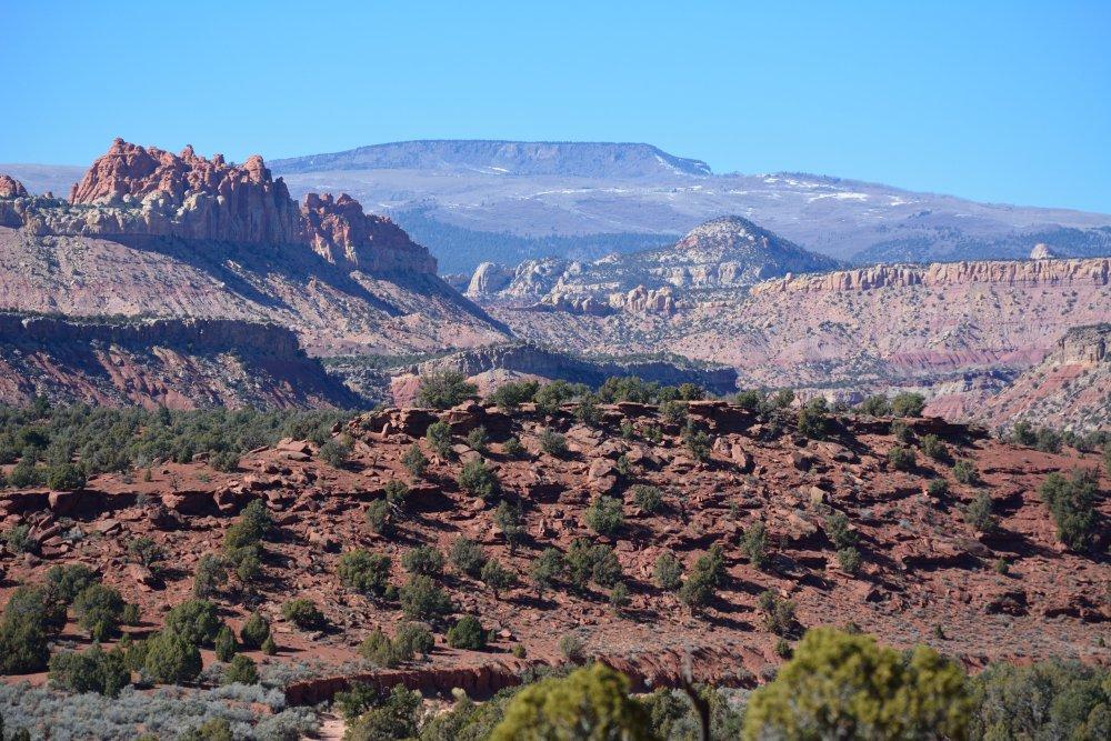
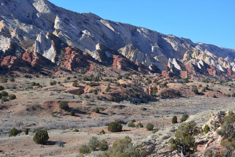
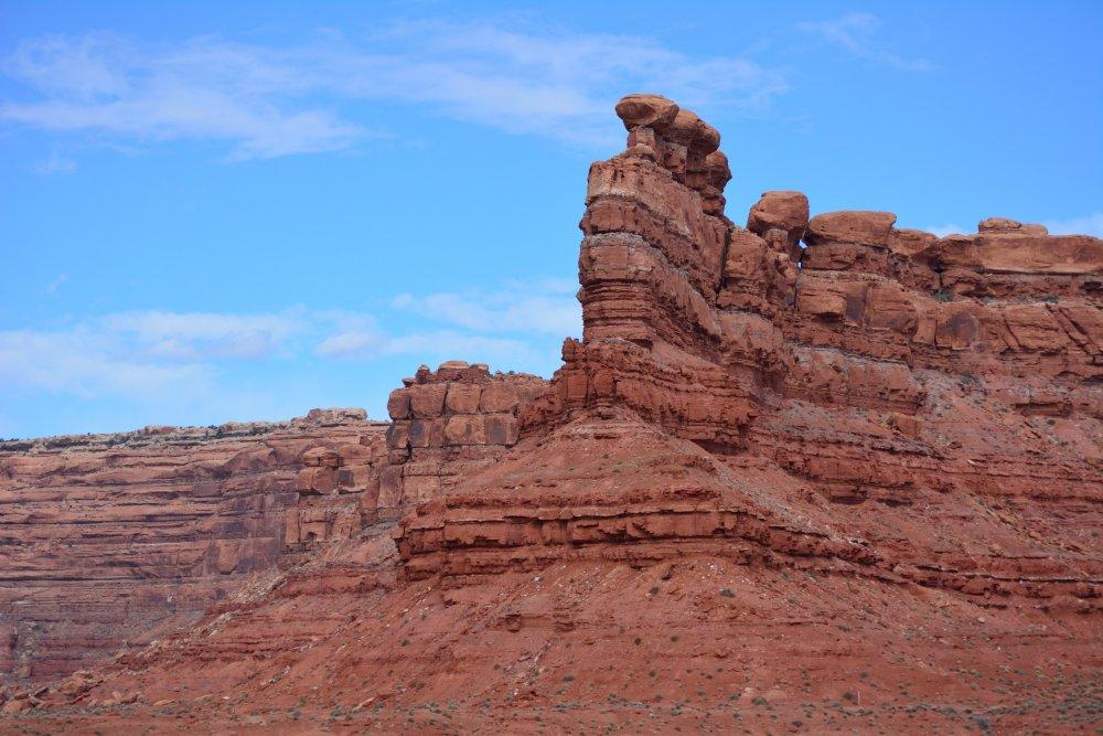
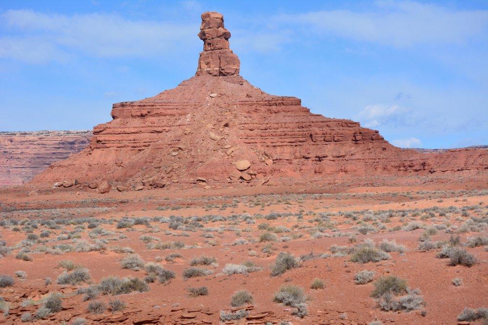
Grand Staircase - Escalante National Monument, Grosvenor Arch
Grand Staircase - Escalante National Monument, Escalante River Canyon - Head Of
The Rocks Overlook
Grand Staircase - Escalante National Monument, Escalante River Canyon - Calf
Creek Overlook
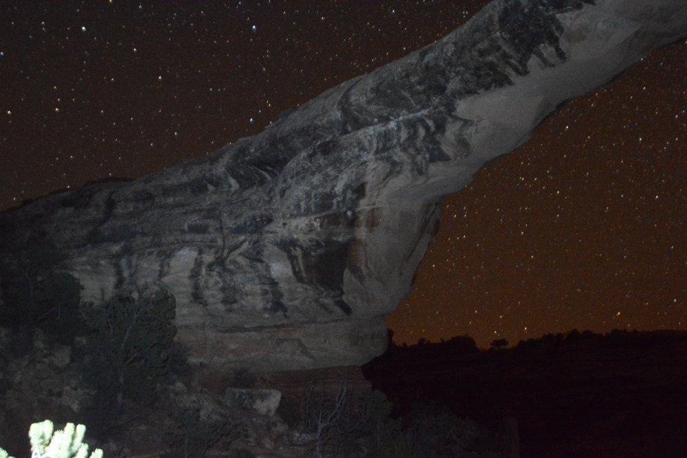
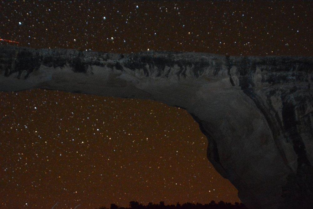
Then I drove
to
Natural
Bridges, and set up my tent in the dark around 7:30. After I
was
set up,
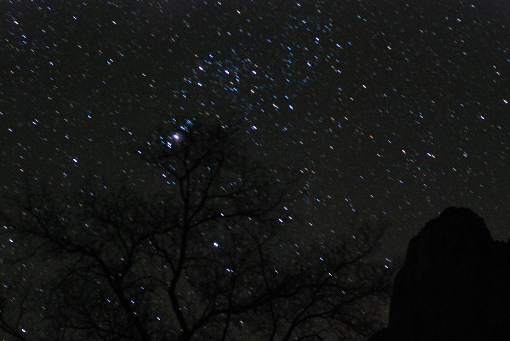
I drove to the third bridge in the monument, Owachomo Bridge, where I
hiked down to the bridge and spent about and hour
and half
taking night photos of the stars through the bridge from all angles. I
was very
neat to be sitting under the bridge in the total dark, all by myself
with
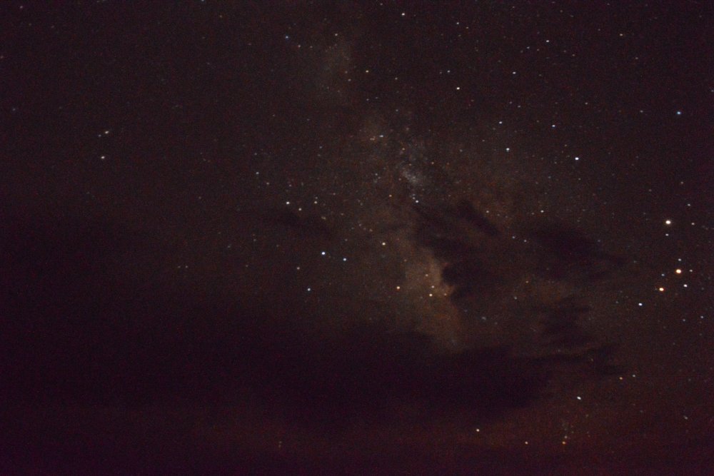
nothing but the bright stars above. Natural Bridges is listed
as
the darkest place in the continental United States, perfect for
star-gazing. The moon did not rise until well into the morning, so the
stars were very bright that evening and there was no light pollution.
Finally
I made it back to my tent, and into my
supposed -20 deg sleeping bag. It is a new bag, and I had not
tested that
temperature rating yet; I don’t think it is actually -20, as I got a
little
cold. The outside temp dropped into the low 20’s, so it was a
bit
nippy.I got up on
Monday morning, broke camp, and drove around to all
the bridge viewpoints for some morning photos. I did not hike
down to any
more bridges on this trip, as I did in 2012 when hiked down to all three
bridges.
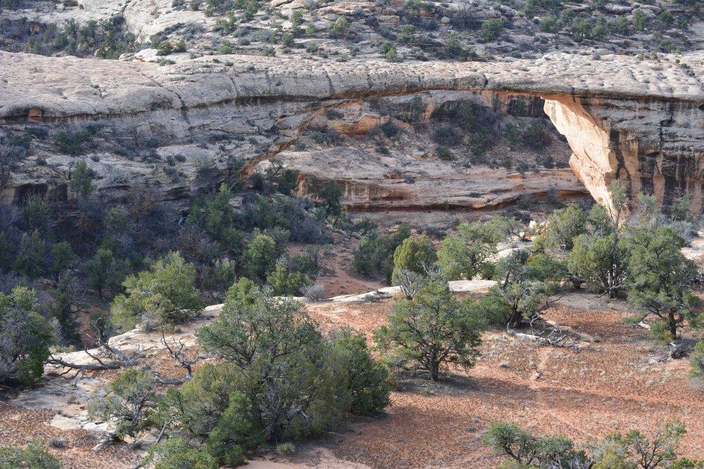
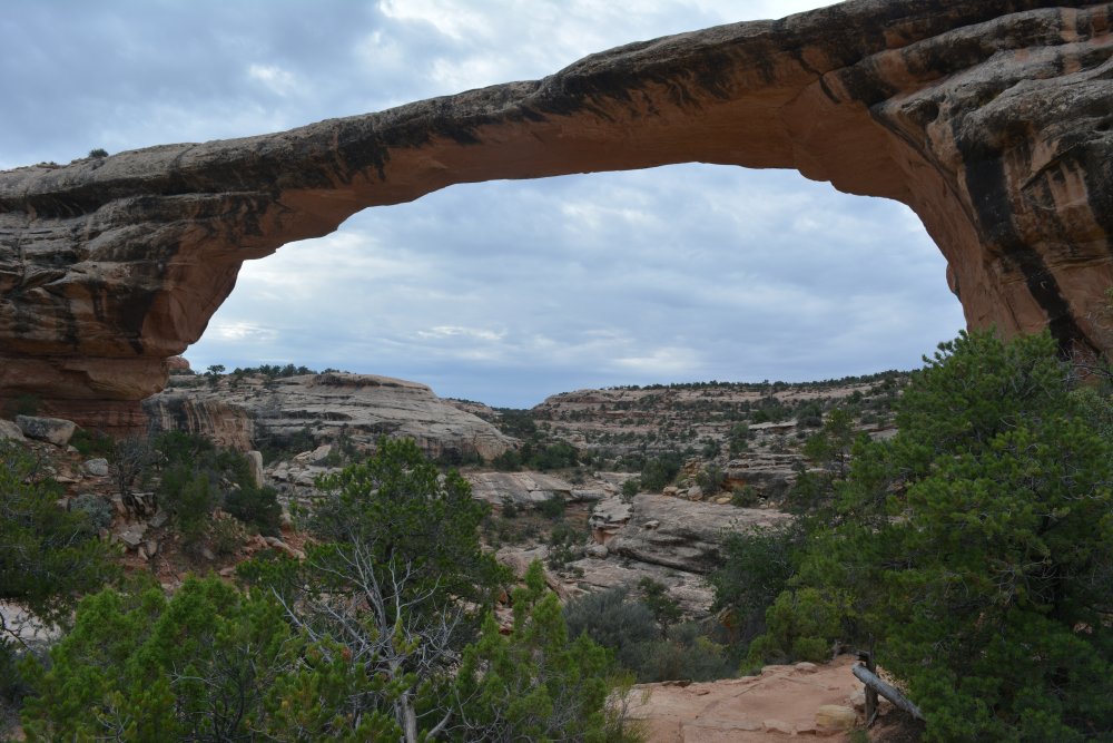
Natural Bridges National Monument, Kachina Bridge Overlook - bridge at
lower right
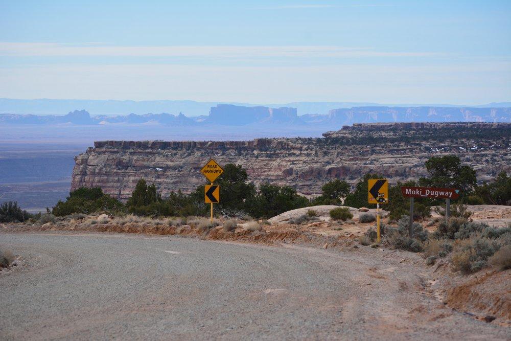
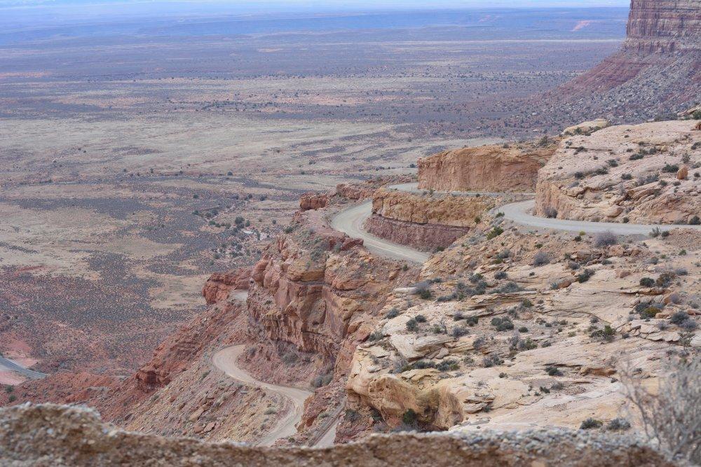
I then
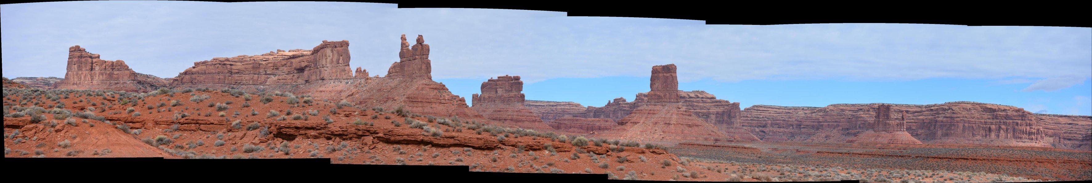
headed south to the Moki Dugway, descended those
switchbacks while recording with my GoPro attached to the top of the car, and drove through Valley Of The Gods. I had never done
Valley Of
The Gods before – it is similar but less spectacular than Monument Valley,
but it is free and the road is in much better condition. I flew one of
my planes
twice, getting some fantastic aerial video both times. After finishing
Valley
Of The Gods, I drove to Goosenecks State Park on the San Juan River for
a quick
visit of the entrenched meanders, then past Mexican Hat and towards
Monument Valley. I had never
approached Monument Valley from the north before, but I now have that
famous
photo looking along the road while driving south to Monument Valley.
Valley Of The Gods
Goosenecks State Park
I kept driving
and had originally
planned to head straight back to Yuma
at this point, going through Flagstaff and Phoenix. However,
I
saw that I
still had time to reach the Grand Canyon before sunset, so I broke off
at
Cameron and headed for the East Rim at Watchtower. I ended up having
more time
on the South Rim than I figured, so I stopped at Watchtower
and Grandview Point, before finally getting to the West Rim
drive
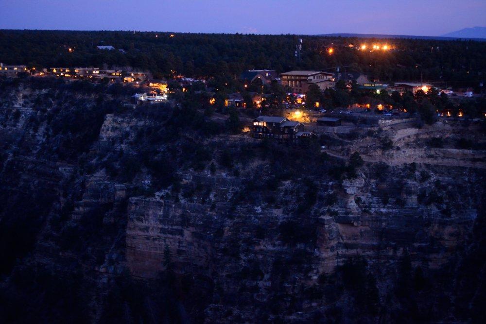
at Hopi Point for sunset. I took a few night time exposures of the South
Rim Village after sunset.
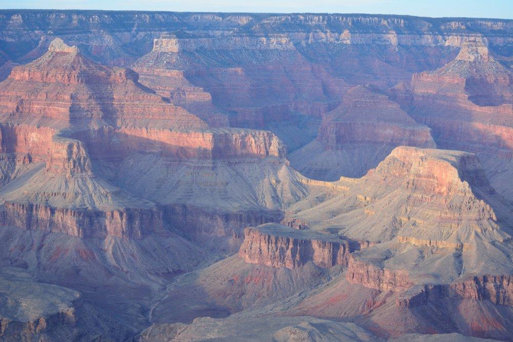
Grand Canyon National Park, Grandview Point Overlook
So now I was
at the South Rim on Monday evening, and had to be back in
Yuma for
work on Tuesday morning. I drove and drove, and finally made
it
to Yuma
at about 1:30 AM. I got a few hours sleep, and was at the flight-line at 6
AM. Thanks goodness I was at work – now I could rest.
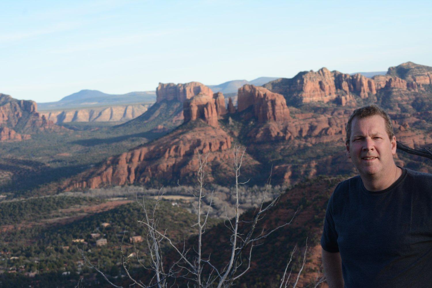
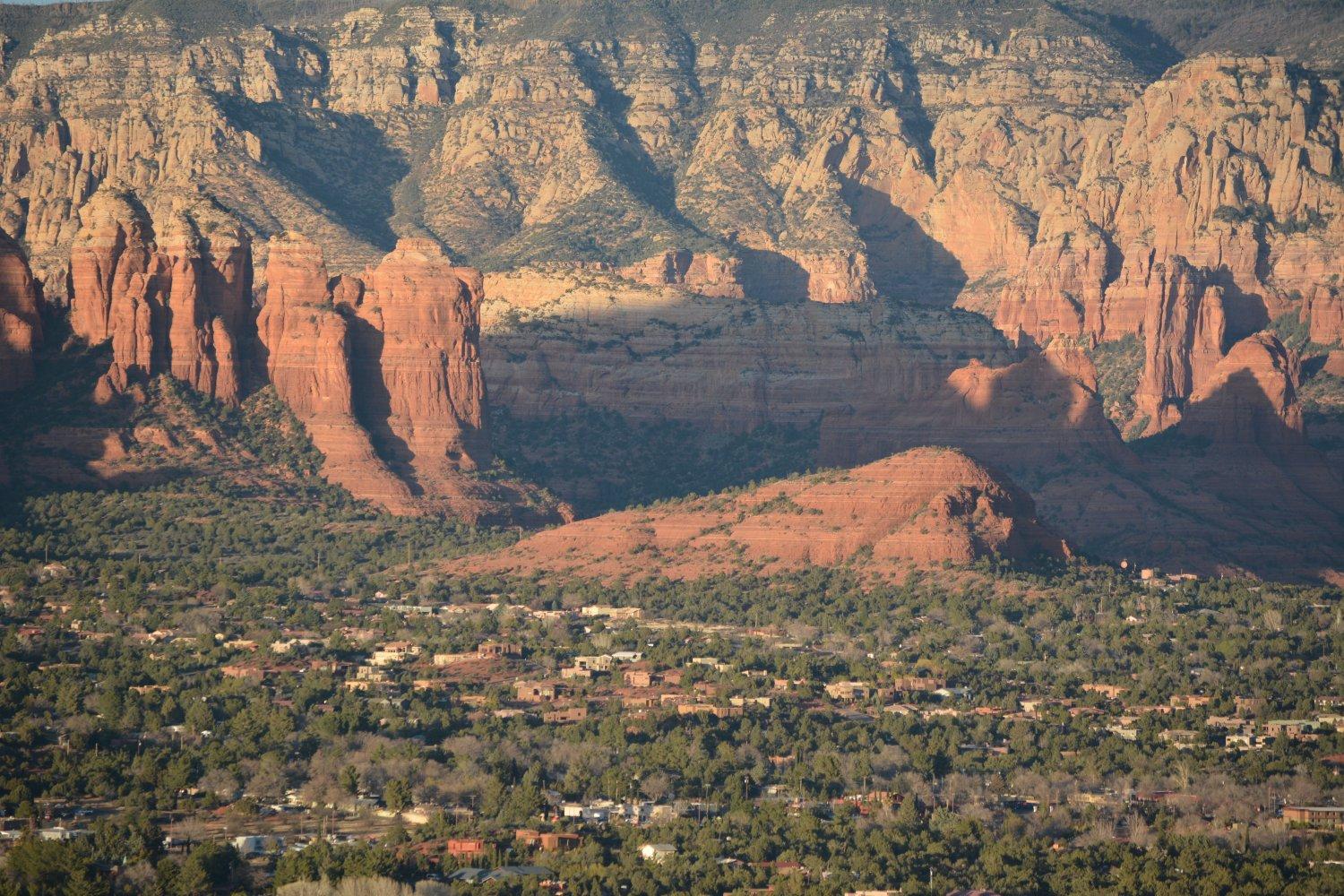
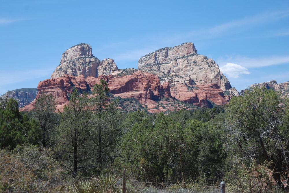
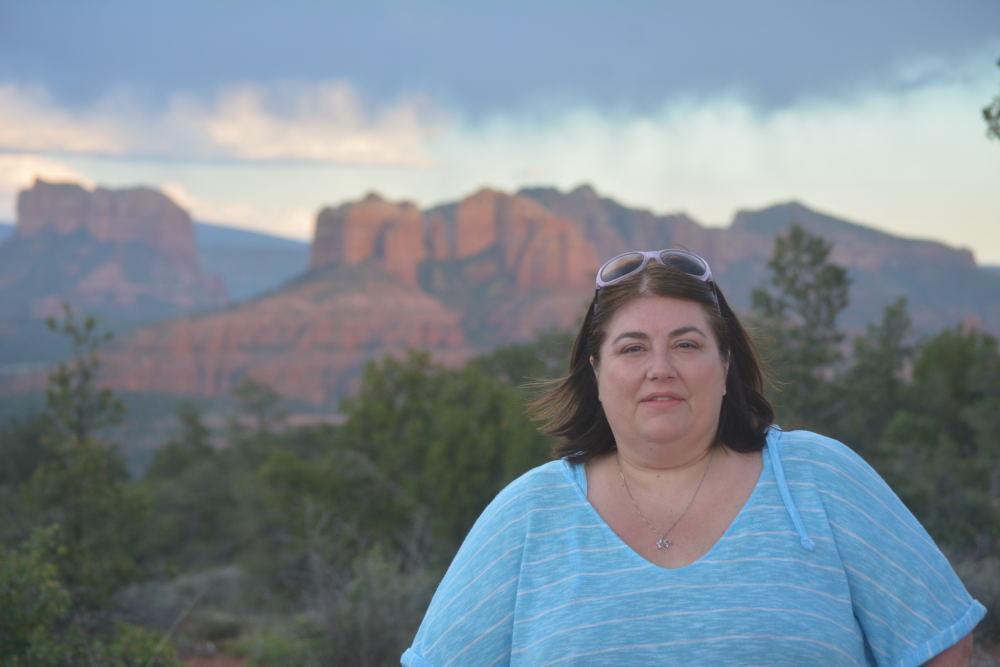
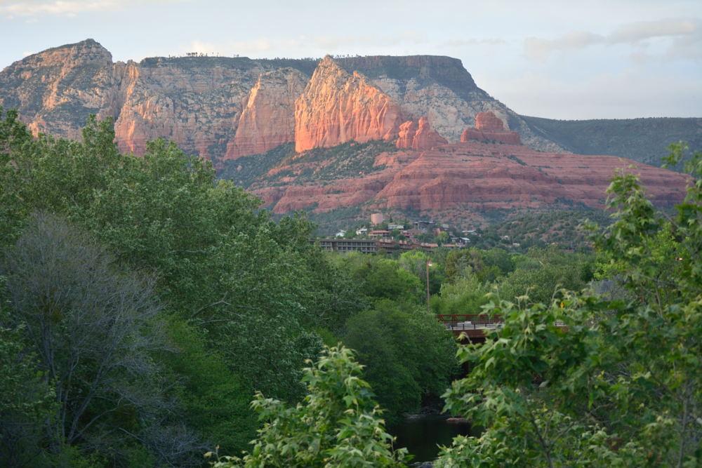
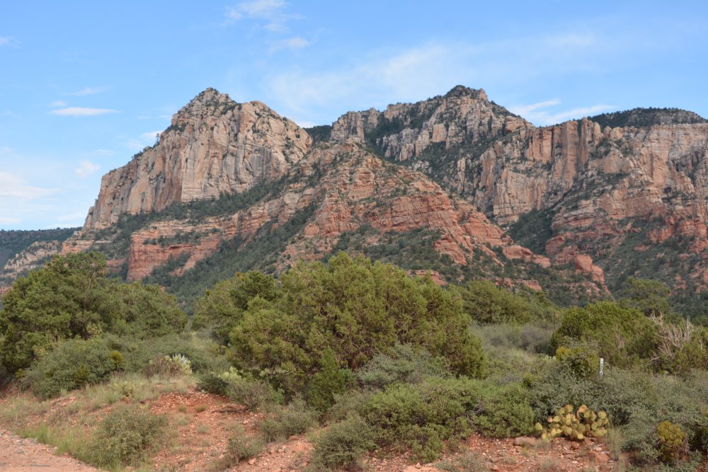
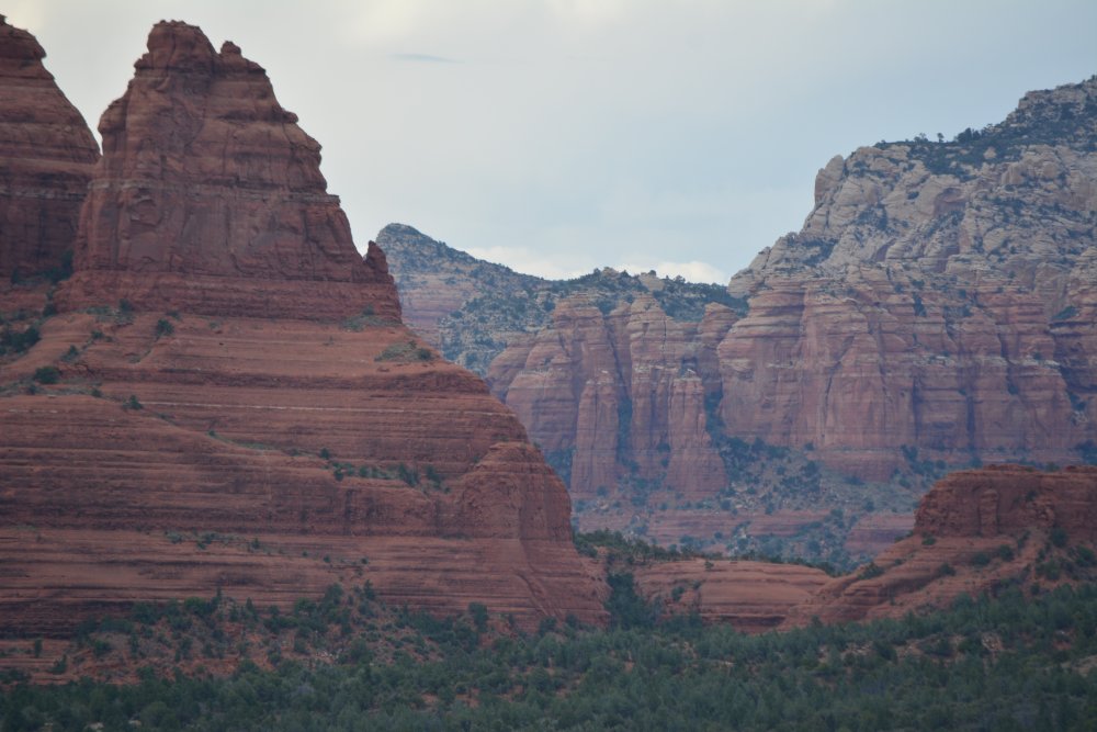
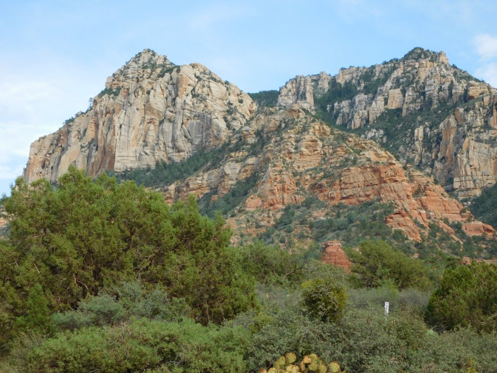
May
2015 - Sedona
I had flight test for
almost three months in April, May, and June 2015, and
Tami flew out to join me for two weeks in the
middle of the trip. She flew into San
Diego, where I met her and we spent the first
weekend. She came back to Yuma with me, then we
went to Phoenix and Sedona for the second weekend, before
going back to Yuma again. Finally we drove
to Las Vegas for the third weekend and then Tami
flew home from there, while I returned to Yuma
for several more weeks of work. We rented an
ATV for one afternoon in Sedona, and had fun on
the northwest side of town on a couple off-road
tracks, before driving up and down Schnebly Hill
Road. On our first trip to Sedona in 2009,
we took our personal Acura MDX up Schnebly Hill
Road, but would not do that now. The road
seems to be a lot rougher than it used to be.
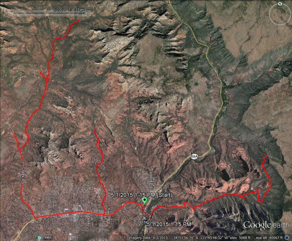
The map to the right shows our route for the 4
hours we had the ATV, taken from a Google Tracks
.kmz recording done on my phone.
Here is a YouTube video link to the last portion
of our off-roading adventure; down Schnebly Hill
Road.
We picked our hotel in Sedona partly for its close proximity to the
Elote Cafe, so we could walk home after
consuming lots of incredible food and margaritas. On our very first trip
to Sedona, the owner and chef delivered the Elote appetizer, but that has not
happened again until this trip on our second night of dining at Elote. We
stayed at the Inn Above Oak Creek;
the inn is right on the water at Oak Creek, just down a short distance from the
traffic circle that branches off for Schnebly Hill Road. If you stay in
Sedona, you can't go wrong with that place - the people who run it are friendly
and it seems like home while you are there. There are only a dozen rooms;
a couple of the views below are right from our balcony. We kept running
into the inn keeper around town (we were not following him) and every time we
happily greeted each other by first name.
August
2016 - Lots of parks (again) in southern Utah
and
Sedona
This trip was very similar to the February 2015 trip, but
I hiked totally new paths at all locations, and visited new places that I
had never been in each park.
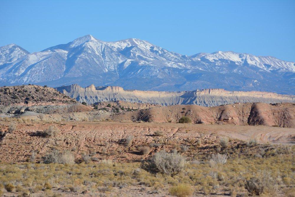
Capitol Reef National
Park, Glen Canyon National Rec Area, Utah - Sunday, 21 August 2016
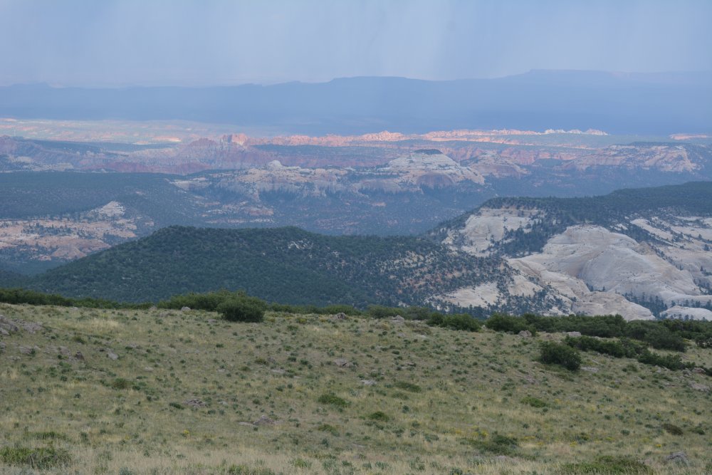
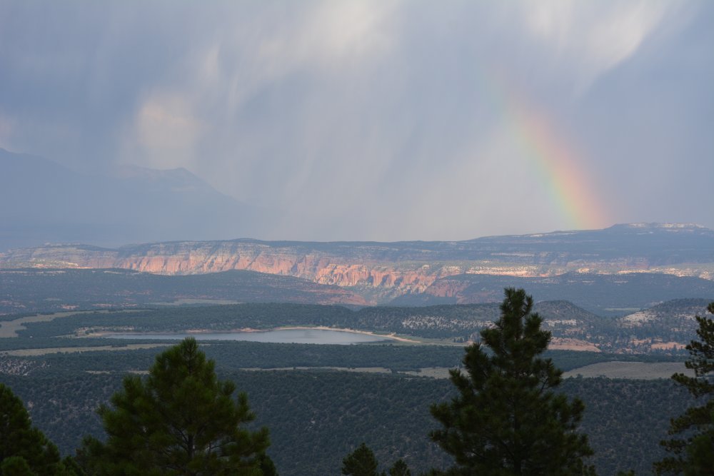
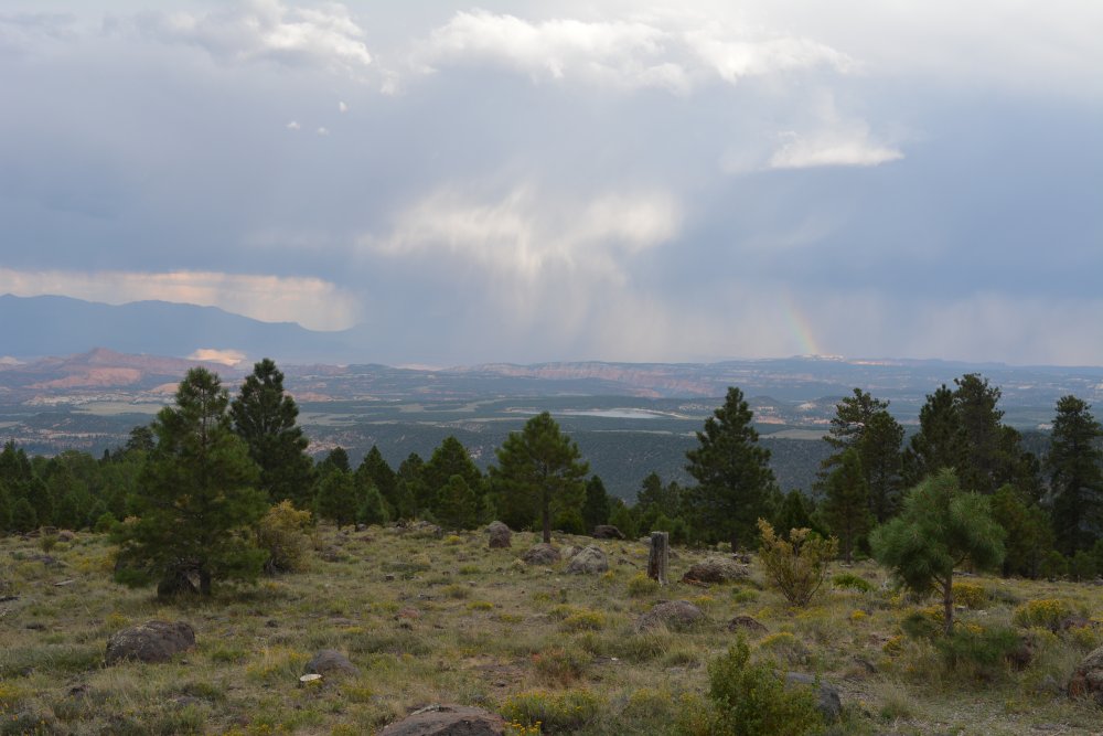
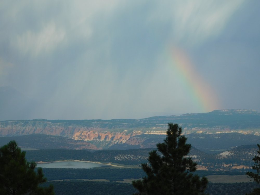
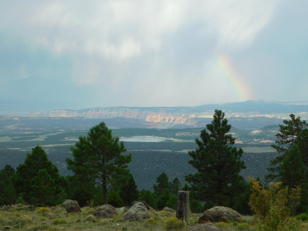
- view from Boulder Mountain looking east, with a rainbow
over Capital Reef
- dinner on a restaurant patio in Torrey, watching sunset's light across the rocks above Fruita
Natural Bridges National Monument, Utah
- Monday, 22 August 2016 - camp in car Sunday night
- hike down to Owachomo Bridge Monday morning
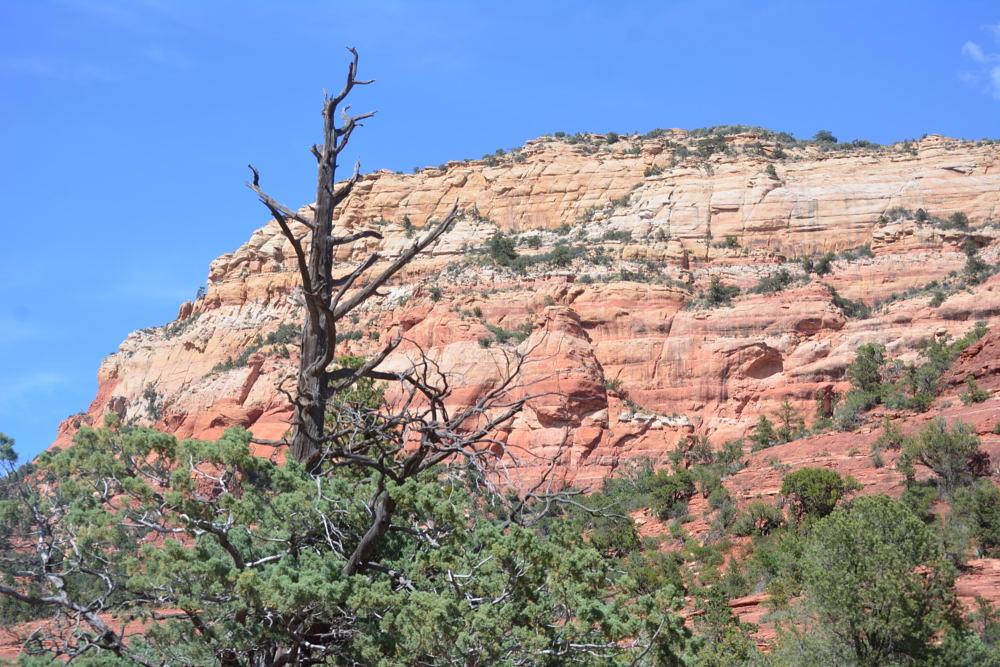
I headed north after work on Friday and made it to Zion
National Park in the late evening. I took some night shots and camped in the
park that night.
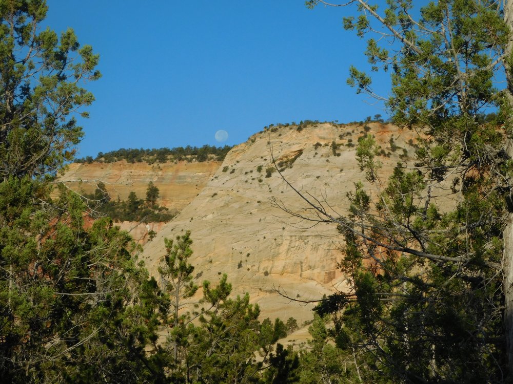
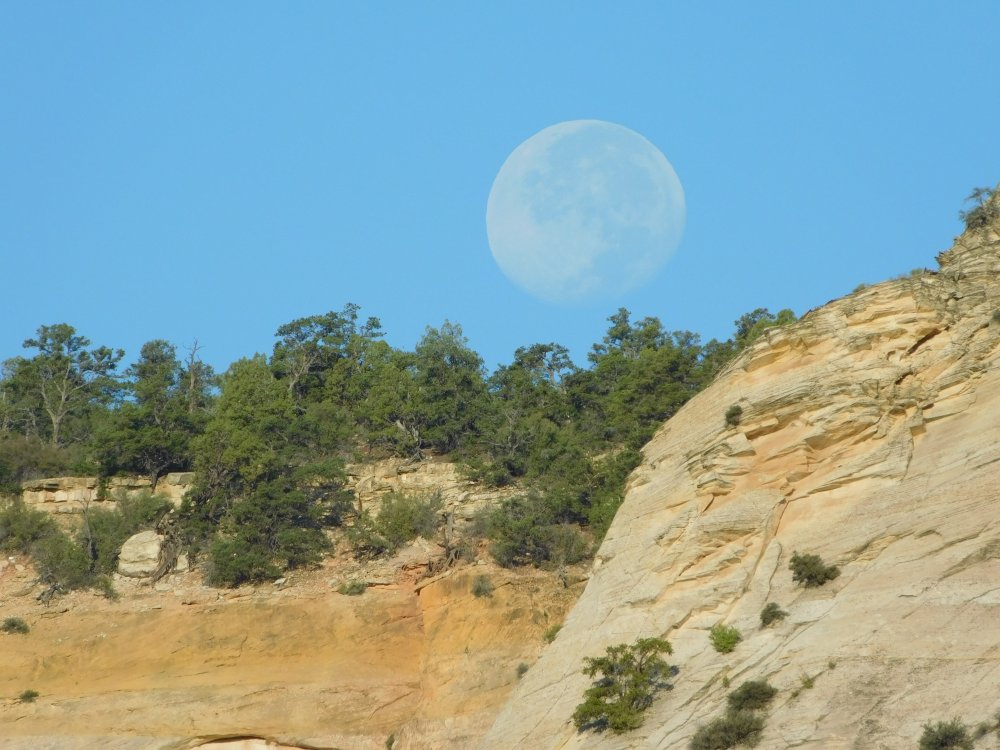
On Saturday morning, I woke up to find the moon hanging low
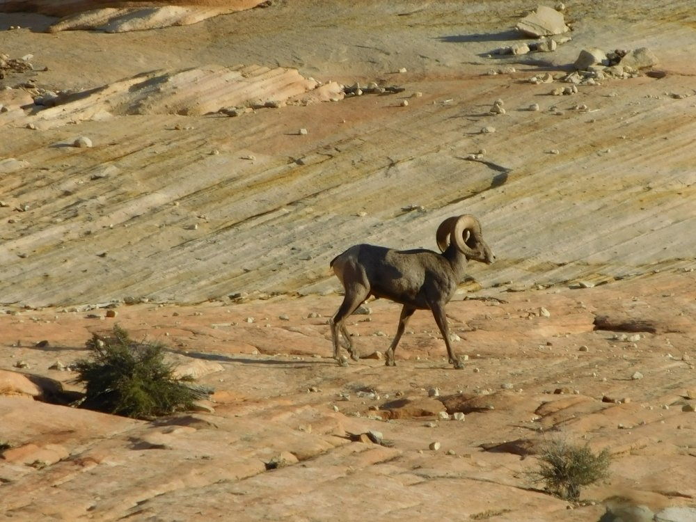
over the canyon walls, and a mountain goat up the rocks a short distance from
the road.
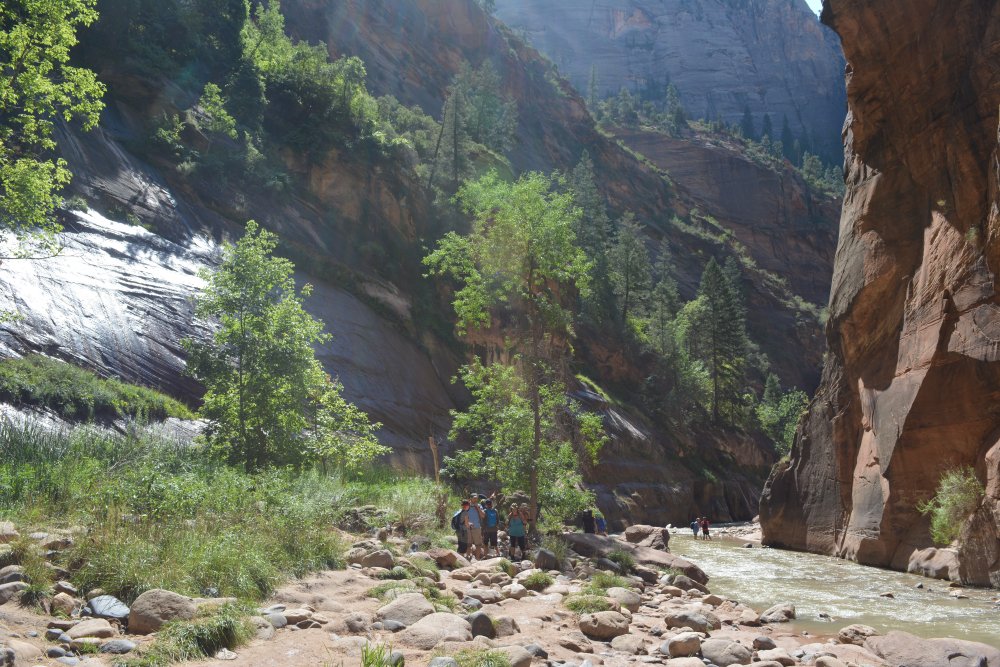
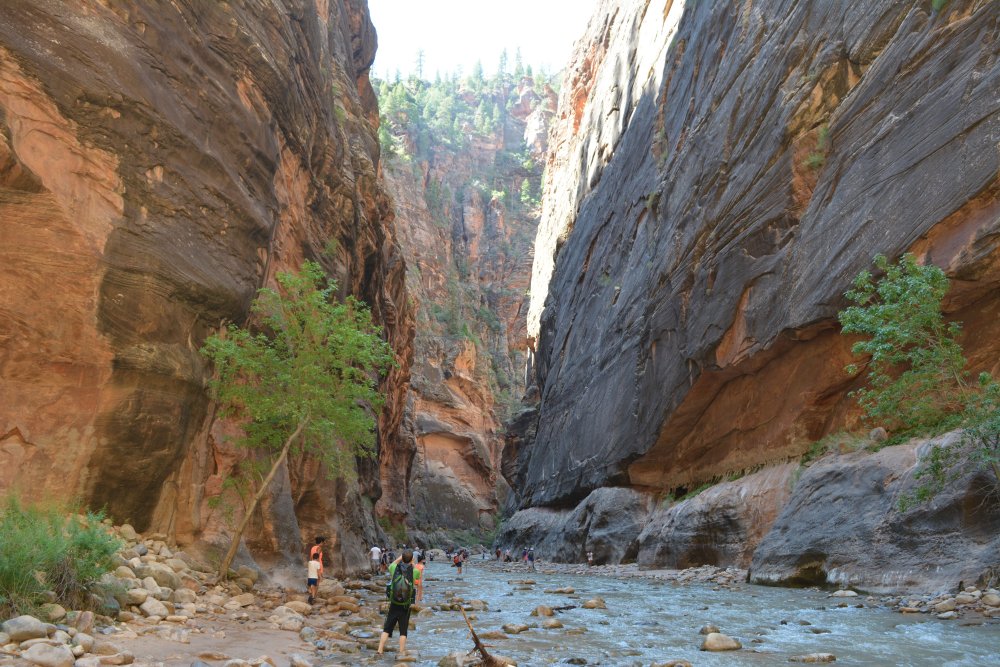
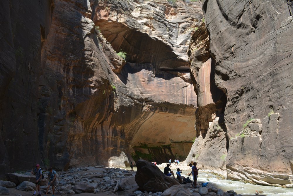
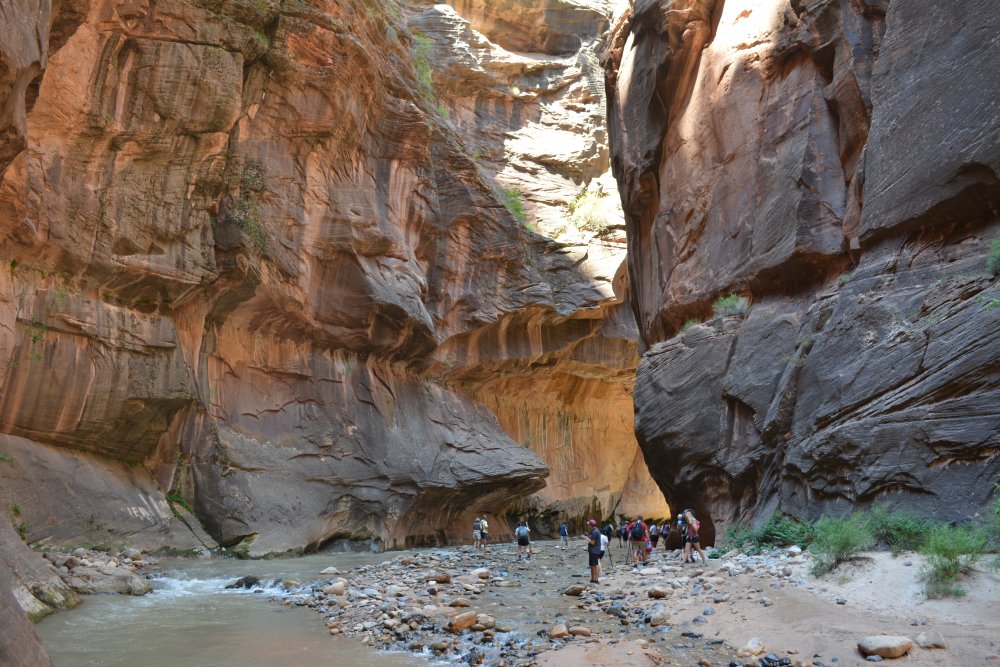
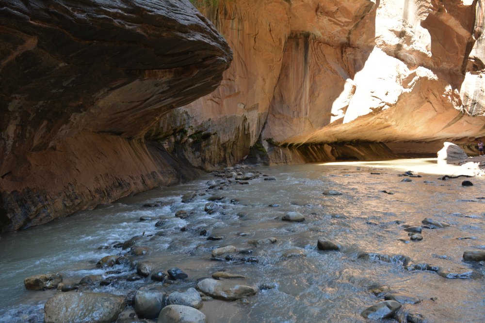
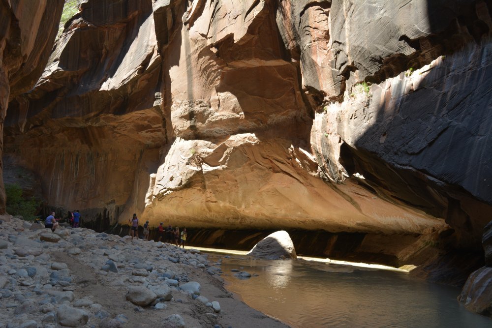
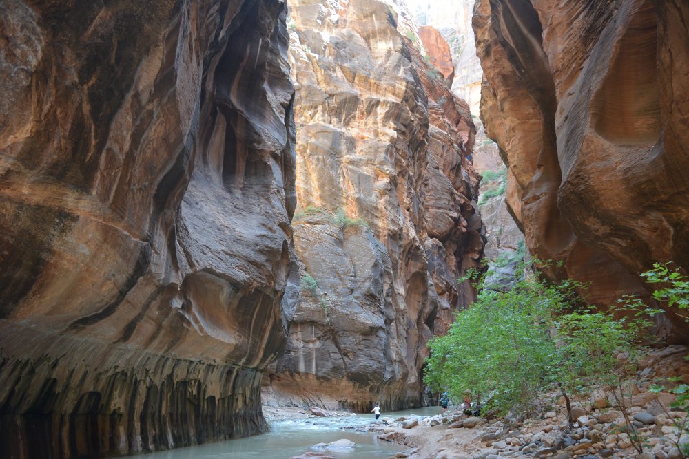
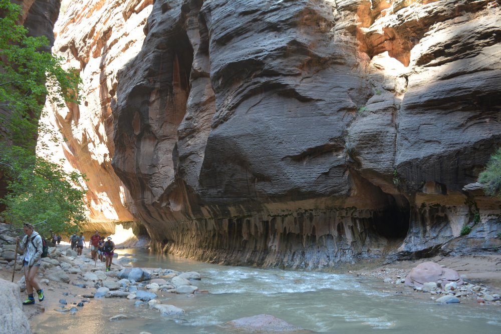
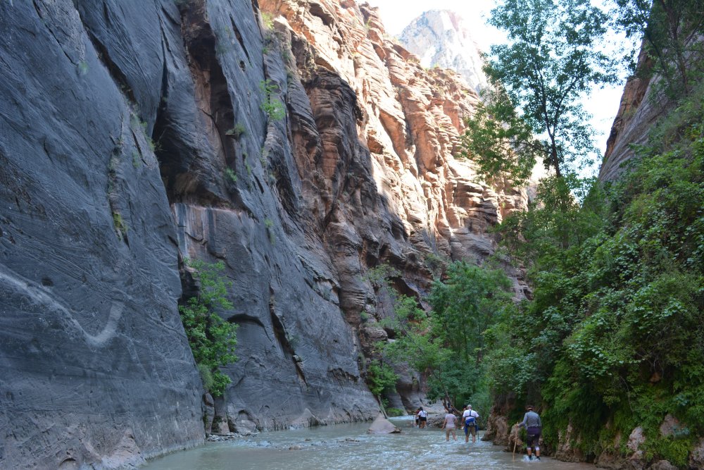
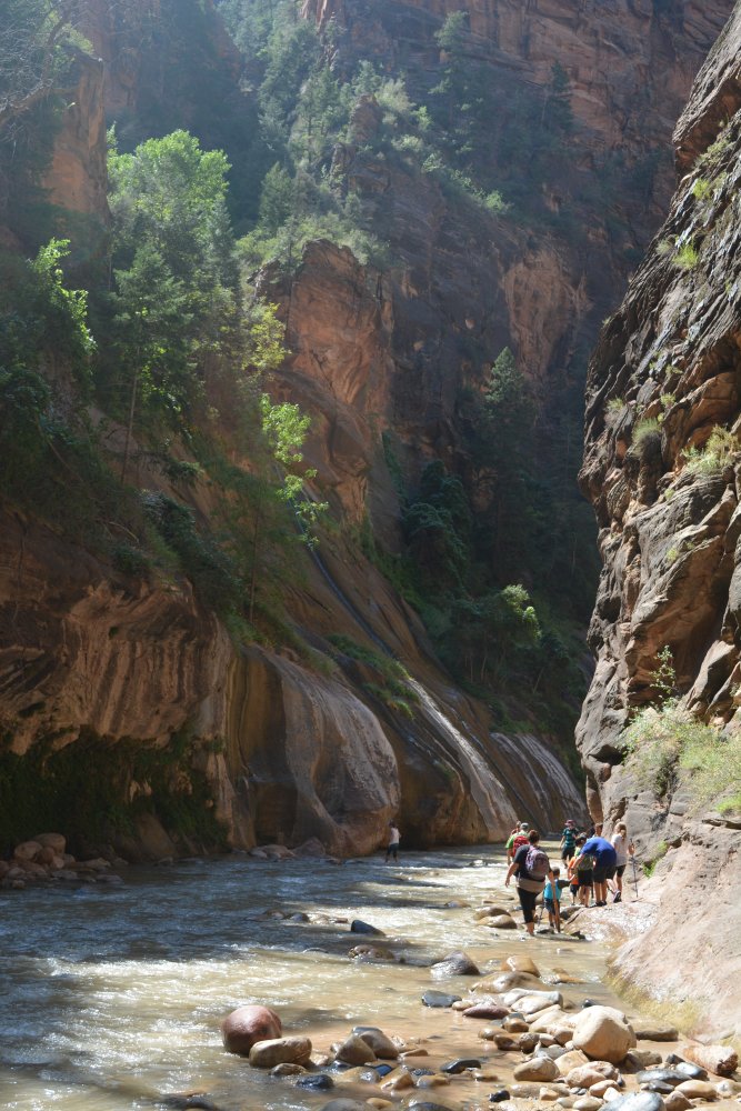
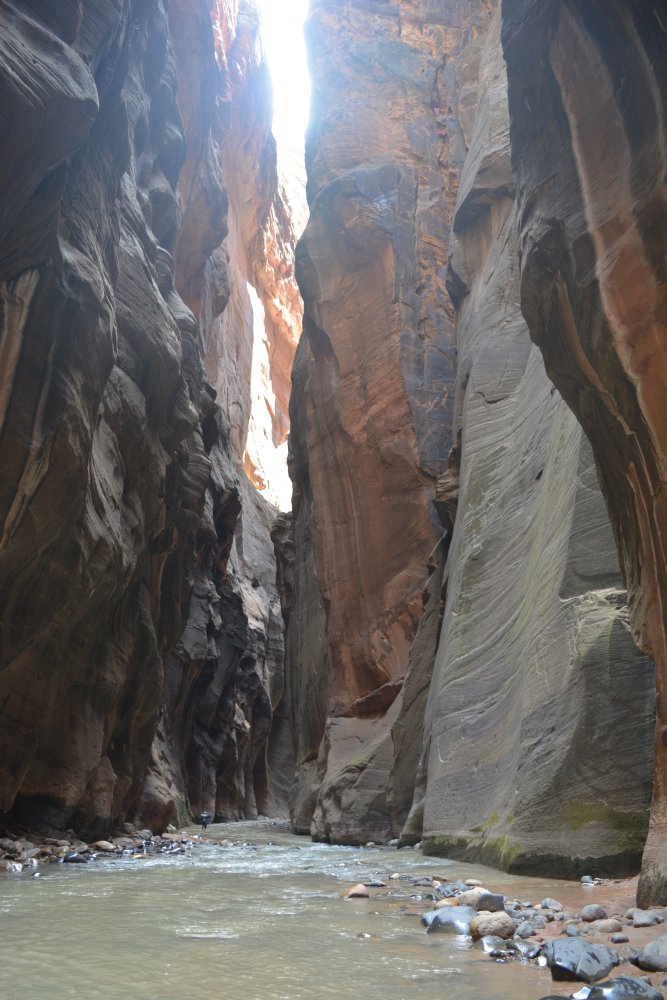
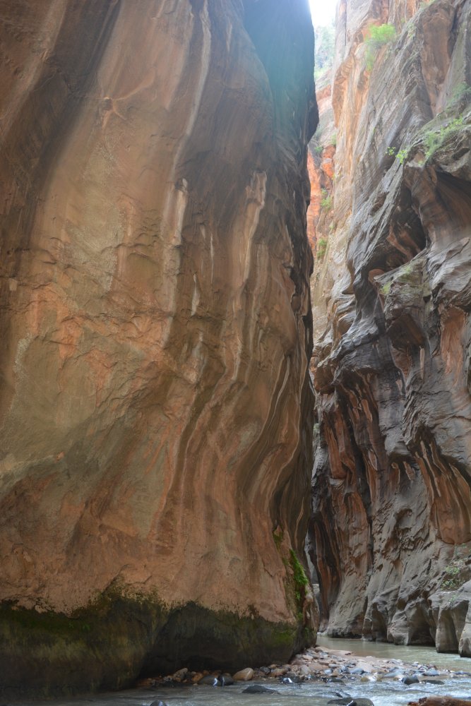
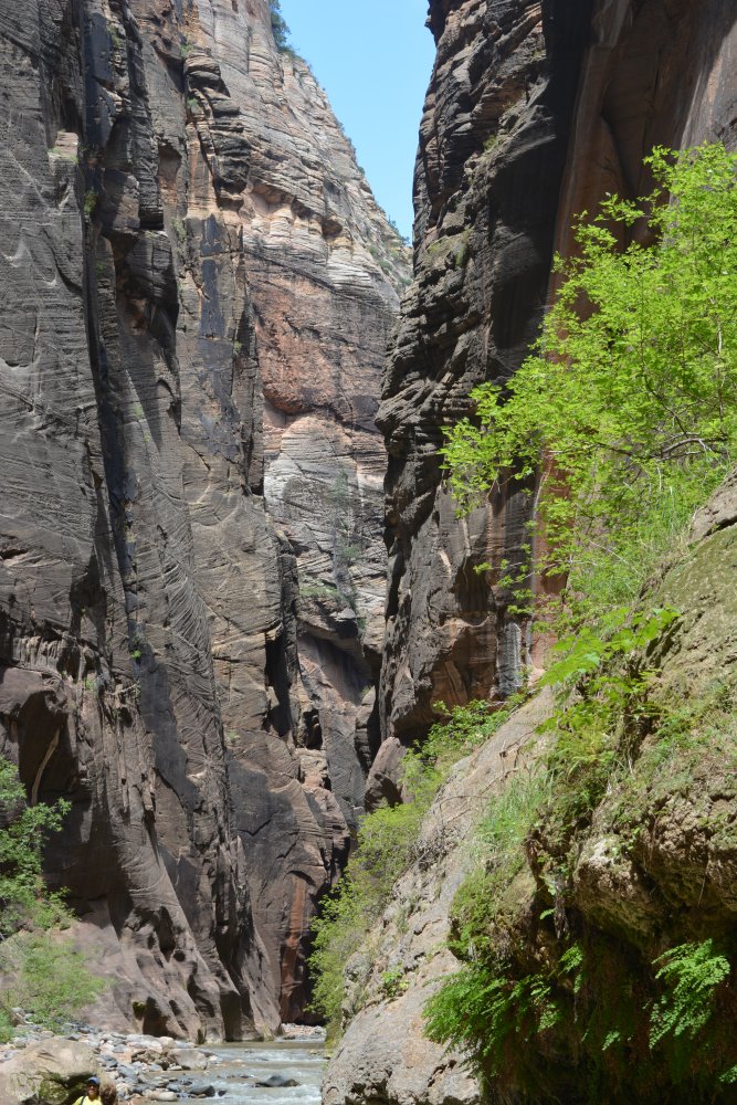
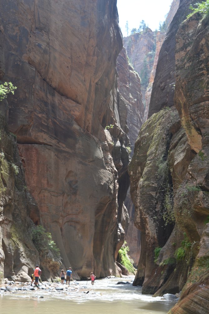
I hiked almost five miles (one-way) up The Narrows along the
Virgin River, then turned around and hiked back out.
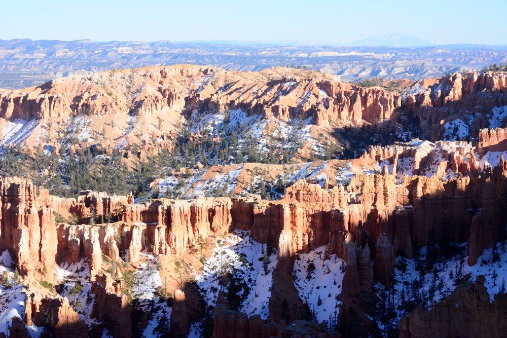
I then drove to Bryce Canyon National Park for sunset at
Sunset Point, but there were lots of clouds so the sunset colors were not
great.
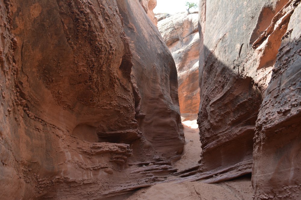
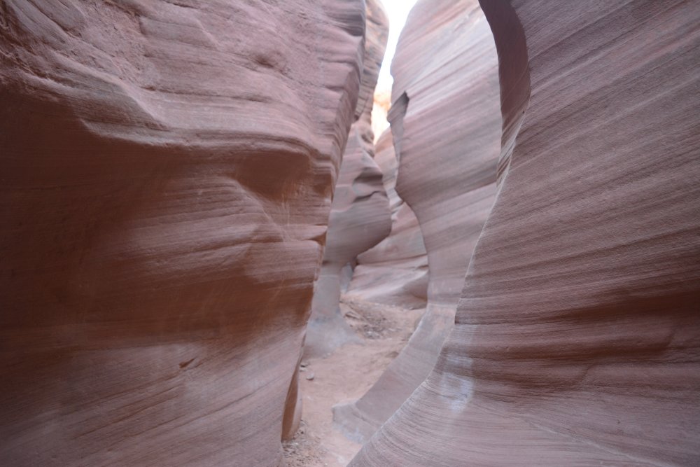
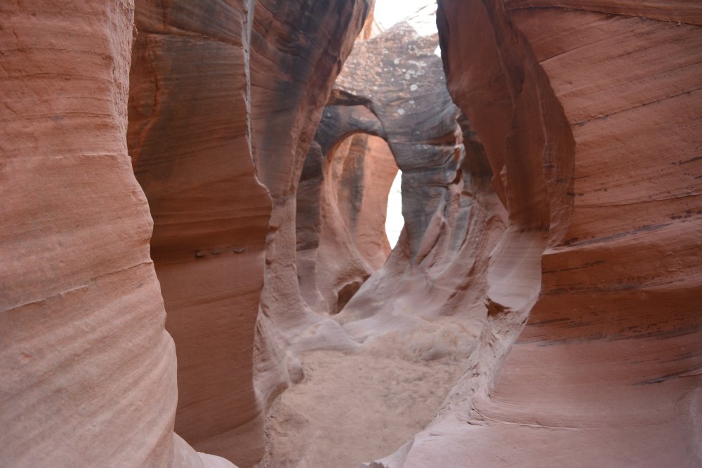
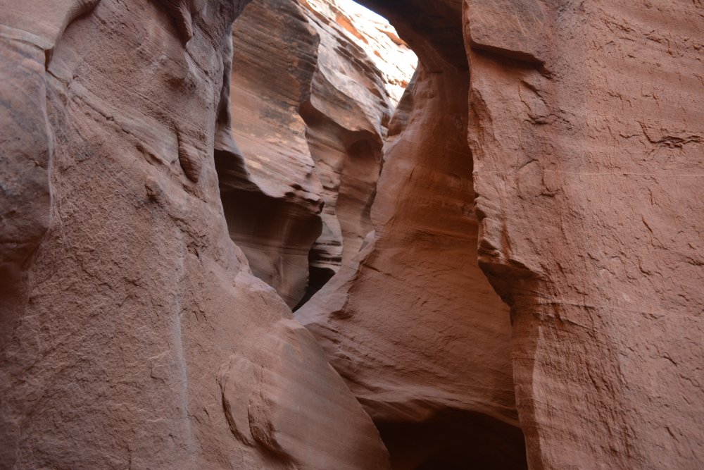
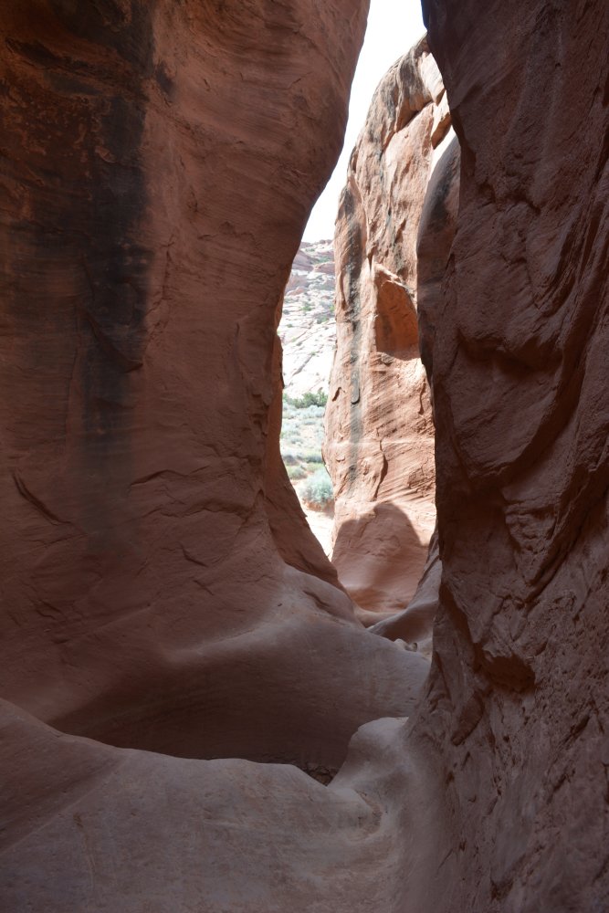
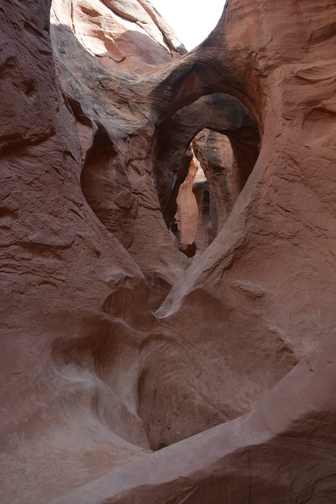
I had decided to hike Peek-A-Boo slot canyon
on Sunday, so I drove to Escalante and then about 26 miles down Hole In The Rock
Road and camped Saturday evening at the trailhead for Dry Fork. I was all by myself in the
middle of nowhere, enjoying the beautiful open skies and absolute silence.
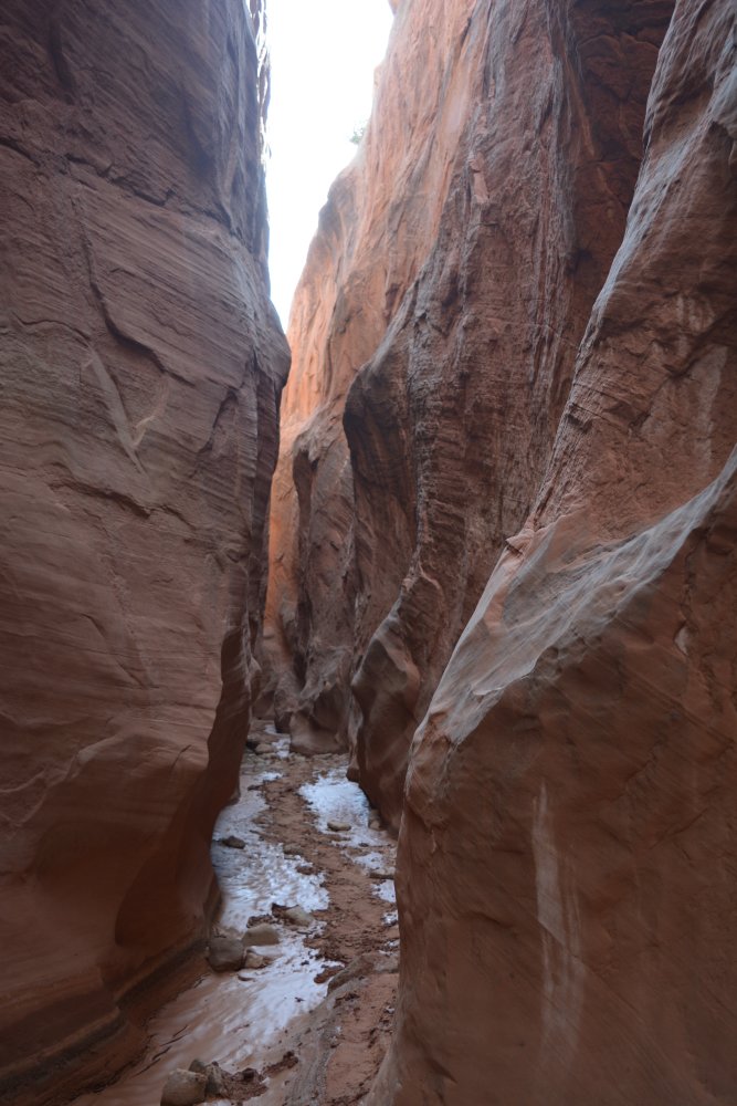
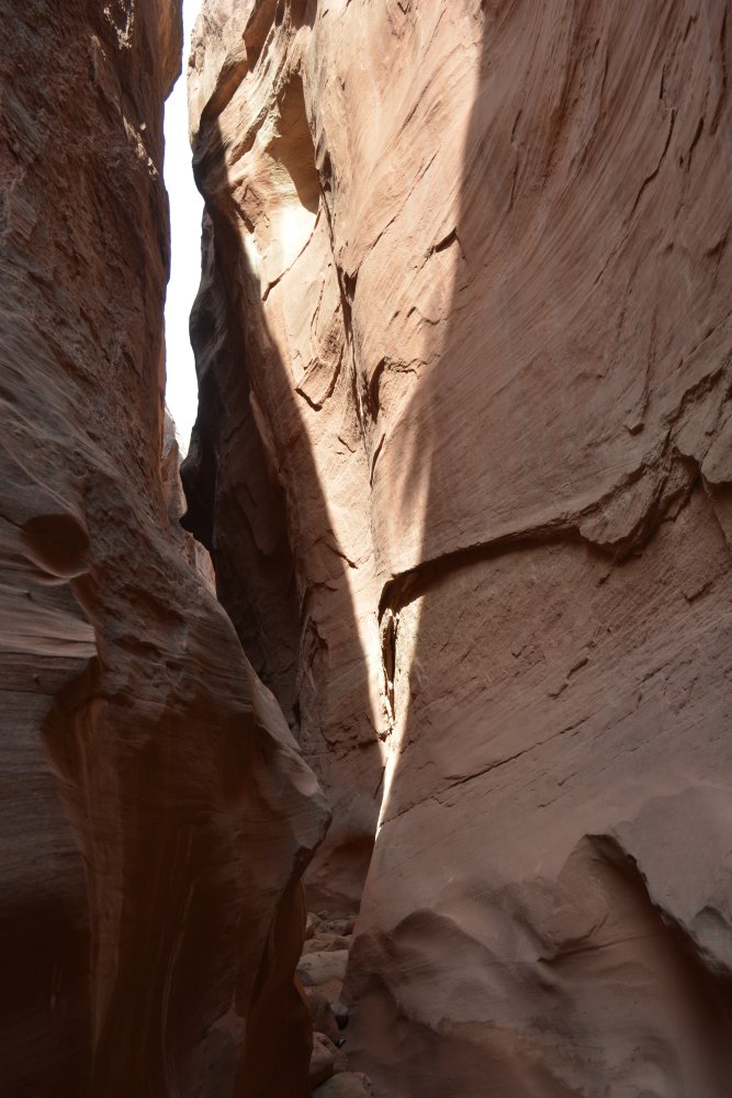
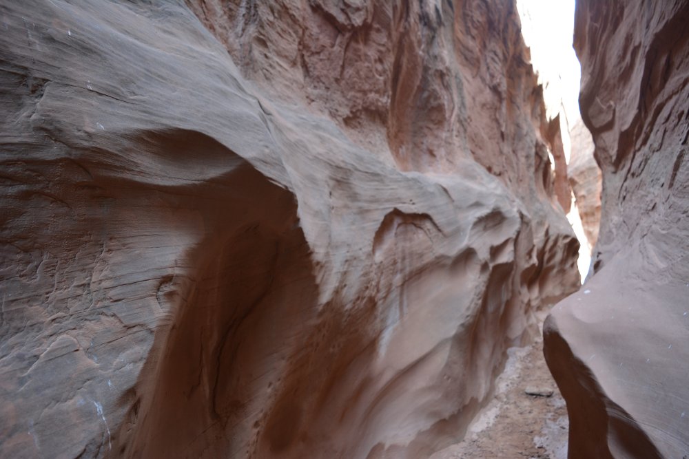
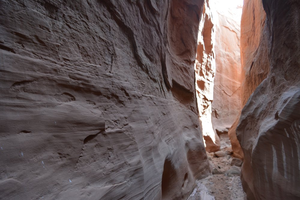
I got up on Sunday morning and hiked down to Dry Fork, through the Dry Fork slot
canyon, back up along the opposite rim, and then down through Peek-A-Boo slot
canyon. I should have done Spooky slot canyon while I was there, but missed
that, so I will do
that on my next trip.
After returning to the car, I drove 35 miles more
southeast to the end of the road, all the way to Hole In The Rock. I also
stopped at Dance Hall Rock. I had a high clearance 2 wheel drive SUV
rental car; it was just barely up the task of making it to the end of the road
and back. I headed north, back to Escalante and then through the Escalante
Canyon to Boulder and finally to Torrey.
I had dinner in Torrey watching
sunset across the rocks of Capitol Reef above Fruita. I then headed east
and south, through Capitol Reef National Monument and Glen Canyon National
Recreation Area on the way to Natural Bridges National Monument, where I camped
for the night. There was a thunderstorm in the distance as I reached the
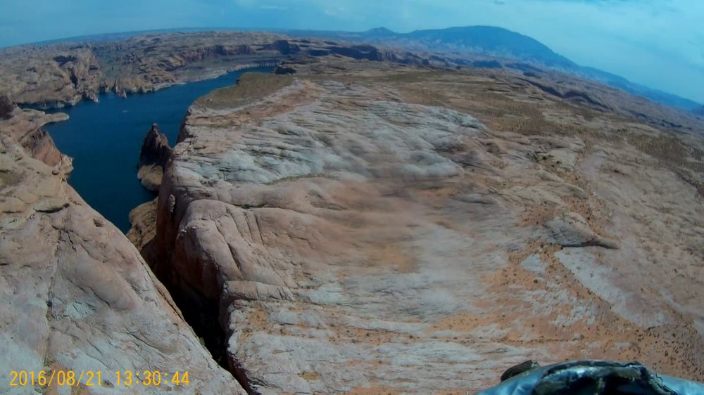
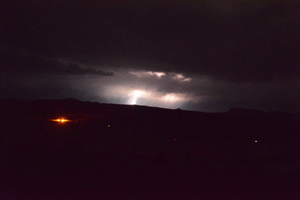
viewpoint high above the Colorado River across from Hite, Utah.
I got up
on Monday, and drove around to the three bridges in Natural Bridges National
Monument, hiking down to Owachomo Bridge.
I drove south down the Moki Dugway, first driving out to Muley
Point for some incredible views of Monument Valley and the San Juan River
meanders. After passing through Mexican Hat, by Monument Valley, and
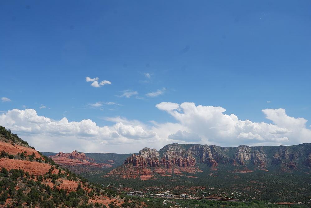
through Kayenta, I drove south to Sedona, where I spent a few hours. I
continued south to Yuma, all the way across Arizona. I had work the next
morning, so I did not stop anywhere else on the way back.
May 2015 – short to medium hikes, rented 2 person dune buggy,
stayed at Inn On Oak Creek bed & breakfast (very nice) – just a
short walk from Elote Café, where we ate both nights
If you rent a dune buggy, try some trails out to the northwest of town, one
route goes out to the Honanki Heritage Site, which has some neat ancient cliff
dwellings:
Schnebly Hill Road – need a good high clearance 4WD, probably not worth it for
Pink Jeep Tour but try it if you rent a dune buggy, great views of east side of
town, off-road section starts here:
Elote Café – fantastic food and margaritas, order the Elote appetizer (very
good, sometime the chef brings it out to your table), pork carnitas and
margaritas are great, Tequila flight with tomato juice chaser (!) – it might not
sound quite right but the tomato juice chaser makes it extra good:


